Page 38 of 174

route calculation when the vehicle is closer
to the main road.
— If there is no main road within 3.1 miles (5
km) from the destination or waypoint, a
message saying so will appear on the
screen. T ry setting the location closer to the
main road.
— If the vehicle is too close to the destination
or if there are no branches of the roads to
the destination. A message saying so will
appear on the screen.
— If it is deemed impossible to reach the des-
tination or waypoints because of traffic
regulations, etc.
— If the only route to reach the destination or
waypoints is extremely complicated.
— If the destination, current vehicle position
or waypoint is within the avoid area.
— If the setting of avoid areas covers the
routes to the destination, route calculationmay not be possible.
�The following may occur when the route is
being displayed.
— If you are requesting a calculation from the
main road, the origin of the route may not
exactly match the current vehicle position.
— If you are requesting a calculation to the
destination on the main road, the end of the
route may not exactly match the destination.
— If you are requesting a calculation from the
main road, the system may show a route
from another main road. This may be be-
cause the icon to show the current vehicle
position (vehicle icon) is not set accurately .
In that case, park the car in a safe place and
reset the vehicle icon, or continue driving
to see if the vehicle icon appears on the
main road before requesting route calcula-
tion again.
— There are cases in which the system shows
a detoured route to reach the destination orwaypoints, if you set them from memory or
facility information. In order to correct this,
you will have to be careful about the traffic
direction, especially when the lanes with
different travel directions are shown sepa-
rately . Such places are interchanges and
service areas.
— This system makes no distinction between
limited traffic control and total control
(blockage). It may show a detoured route
even if the road is usable.
— Even if the freeway preference is set to OFF ,
the route may be set on them. T o avoid this,
set a waypoint on another road type and re-
quest calculation.
— Even if the preference is set to OFF for a
ferry line, the route may be set on it. T o
avoid this, set a waypoint on a road and re-
quest calculation.
— Ferry lines, except those which accept only
pedestrians, bicycles and motorcycles, are
HOW DO I OPERATE THE NISSAN NAVIGATION SYSTEM?
4-22
Page 39 of 174

stored in this system. When using them,
take into consideration the travel time re-
quired and operational condition to decide
whether to use them or not.
ABOUT THE DISPLAY ERROR
The following cases may affect the display ac-
curacy of the vehicle’s position or travel direc-
tion. The accuracy will return to normal if the
driving conditions return to normal.
— When there is a similar road nearby .
— When the vehicle is traveling on a long
stretch of straight road or series of curves
with a large radius.
— When the vehicle is traveling in an area with
a grid road system.
— When the vehicle is making consecutive S
curves.
— When the vehicle is at a large Y -shaped
junction.— When the vehicle is on a loop bridge.
— When the vehicle is on a snow-covered or
unpaved road.
— When the vehicle has made several con-
secutive turns or zigzags.
— When the vehicle is rotated on a parking lot
turntable while the ignition switch is OFF .
— Immediately after the vehicle is driven out
of a parking garage or underground parking
lot.
— When the vehicle has different sizes of tires
or tire chains.
— When the vehicle is moved immediately af-
ter the engine is started.
HOW DO I OPERATE THE NISSAN NAVIGATION SYSTEM?
4-23
Page 42 of 174
V ARIOUS W A YS TO SET
THE DESTINA TION (OR
W A YPOINT)
WARNING
T o operate the navigation system or
to use the screen functions, first park
the vehicle in a safe place and set the
parking brake. Using the system
while driving can distract the driver
and may result in a serious accident.
EXPERT MODE CATEGORIES
T o set the destination and waypoints, you can
choose from the eight categories described be-
low. Use these options to choose the best way
to find the route to the destinations and
waypoints.
�Address Book
�Previous Dest.
�Address/Street
�Intersection�Point of Interest (POI)
�City
�Phone Number
�Map
EASY MODE CATEGORIES
When the Expert Mode is canceled, the follow-
ing three categories will be displayed as Easy
Mode.
�Home
�Address/Street
INV1453
INV1454
HOW DO I PROGRAM A DESTINATION?
5-2
Page 58 of 174
4. The screen returns to the [DEST . SETTING
(Intersection)] screen.
When the city is set, the display shows the
selected city next to the
City key .
Input the street name of your choice.
Proceed to “Setting with the
List key” on
page 5-13.
SETTING WITH THE
Point of Interest (POI)KEY
The NISSAN Navigation System includes a da-
tabase of Point of Interest (POI) locations such
as restaurants, hotels, and gas stations. (refer
to section 6.)
By using this feature, you can set a Point of
Interest location as a destination. For details on
how to use the POI feature, please refer to sec-
tion 6.
SETTING WITH THECityKEY
Sets the destination (waypoints) on the map
screen of the area in and around the input city .
1. Press the DEST button.
2. Select the
City key on the [DEST . SET -
TINGS] screen.
INV1520INV1521
INV1522
HOW DO I PROGRAM A DESTINATION?
5-18
Page 67 of 174

Please refer to “Setting with the
Address/Street key” on page 5-6.
HA VING THE SYSTEM
GUIDE YOU TO THE DESTI-
NA TIONS
WARNING
T o operate the navigation system or
to use the screen functions, first park
the vehicle in a safe place and set the
parking brake. Using the system
while driving can distract the driver
and may result in a serious accident.
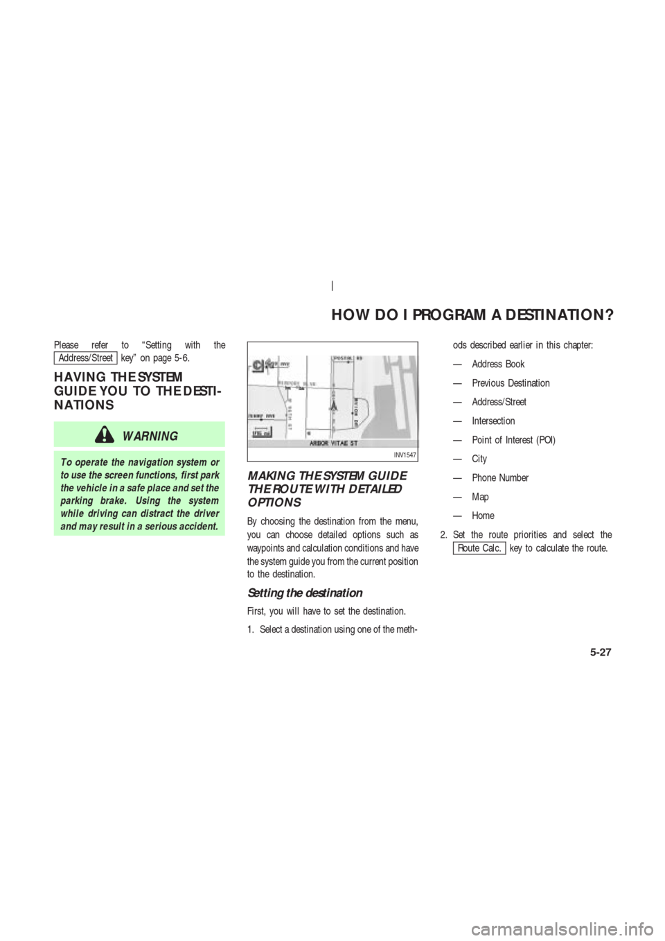
MAKING THE SYSTEM GUIDE
THE ROUTE WITH DETAILED
OPTIONS
By choosing the destination from the menu,
you can choose detailed options such as
waypoints and calculation conditions and have
the system guide you from the current position
to the destination.
Setting the destination
First, you will have to set the destination.
1. Select a destination using one of the meth-ods described earlier in this chapter:
— Address Book
— Previous Destination
— Address/Street
— Intersection
— Point of Interest (POI)
— City
— Phone Number
— Map
— Home
2. Set the route priorities and select the
Route Calc. key to calculate the route.
INV1547
HOW DO I PROGRAM A DESTINATION?
5-27
Page 77 of 174
4. The display shows the direction and dis-
tance from the current vehicle position to
the selected facility .
Select the facility name you want to set as
a destination (waypoints).5. Set route priorities, then select the
OK key . Route calculation to the desti-
nation will be started.
INFO:
If quick stop is set after the destination was set,
the system starts the route calculation to the
location as the waypoint. Five waypoints can be
registered at the same time.
QUICK STOP CUSTOMER SET-
TING
1. Press the SETTING button.
2. Select the
Navigation key on the [SET -
TINGS] screen.
INV1573INV1574INV1466
HOW DO I PROGRAM A DESTINATION?
5-37
Page 106 of 174
5. Use the joystick to set the new location.
6. Select the
Adjust key .The location is updated after the update mes-
sage is shown. The screen goes back to the
screen displayed in step 4.
INFO:
T o go back to the screen displaying the current
vehicle position, press the MAP button.
DELETING STORED LOCA-
TIONS
Y ou can delete the stored locations you no
longer need from the system memory .
1. Press the SETTING button.2. Select theNavigation key .
INV1644
INV1645
INV1466
INV1618
HOW DO I USE THE ADDRESS BOOK FEATURE?
7-12
Page 115 of 174
to the previous screen.
3. Please refer to “Making the system guide
the route with detailed options” on page
5-27.
If the route guidance is not set, the display
shows the current vehicle location.SETTING WITH THEMapKEY
When the stored “avoid area” is selected, it can
be adjusted or deleted.
Press the SETTING button.
Adjusting the stored avoid areas
1. Select theNavigation key .2. The display shows the [NAVIGA TION SET -
TINGS] screen.
Select the
Avoid Area Settings key .
INV1659
INV1466
INV1652
HOW DO I USE THE AVOID AREA FEATURE?
8-7