Page 145 of 164
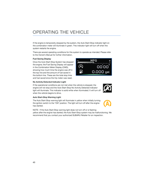
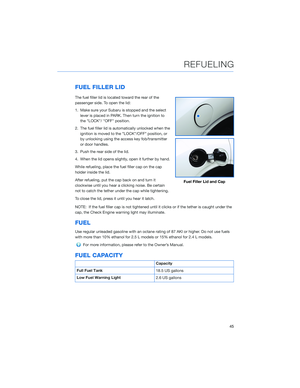
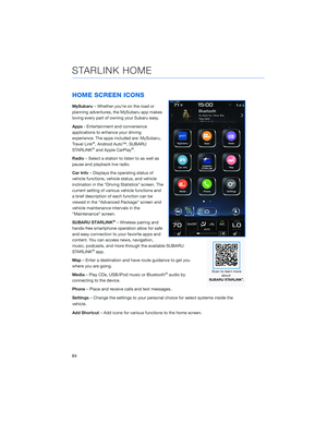
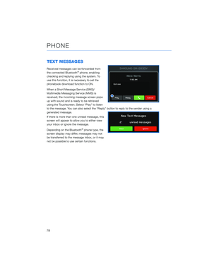
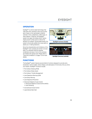
3Select the desired item to avoid.
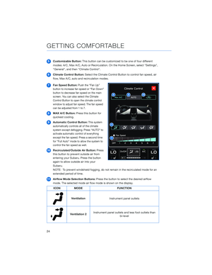
Shortest/Fastest/Economic
You can set the route preferences to search for the shortest, fastest, or most economic
route or to avoid freeways. To do this:
1From the ”Home” screen select “Settings”.
2Select “Navigation”.
3Select “Route Preference”.
HOW TO APPENDIX
143
Page 146 of 164
4Select the preference you would like to
use the most; Fastest, Shortest,
Eco-Friendly or Avoid Freeways.
HOW TO APPENDIX
144
Page 147 of 164
Saving Destination as a Favorite
The registered points can be set as a destination. To save a location from the Map screen:
1Select “Menu”.
2Select “Favorites”.
HOW TO APPENDIX
145
Page 148 of 164
3Select “Add”.
4Select “Search”.
HOW TO APPENDIX
146
Page 149 of 164
5Start typing the address you want to
save, select the address when it appears
on the screen.
6Select the icon on the address to save to
favorites. You can rename the location or
use the address as the location name.
Select "OK" when finished.
HOW TO APPENDIX
147
Page 150 of 164
Guidance Screen Icons
These are the common icons used for the navigation guidance.
ICON EXPLANATION ICON EXPLANATION
Turn left/right.Go straight ahead at
the intersection.
U-turn.Exit at the junction.
Keep left/right at the
fork in the road.Roundabout.
Turn left/right &
sharp curve.You have arrived at
your destination.
Stay in the left/right
lane.You have arrived at
your waypoint.
Map Zoom
Once on the map screen, you can zoom in or
out by touching the “+” or “-” buttons on the
screen. You can also use two fingers on the
screen and move them apart to zoom in or
together to zoom out.
HOW TO APPENDIX
148
Page 151 of 164
You can also enlarge the map to cover the top
portion of the screen by selecting this button.
Map View/Perspectives
The orientation of the map can be changed
between 2D north-up, 2D heading-up, and 3D
heading-up. To change the view, select the icon
above the “+” and “-” buttons. Each time the
icon is touched, the view will change. The
direction of the arrow indicates north when in
2D heading-up and 3D heading-up modes.
Traffic Information
Road sections affected by traffic conditions are displayed in a different color on the map,
and a small icon representing the type of traffic condition is displayed above the road.
To receive the data service information in the vehicle, a subscription to the SiriusXM
®
Traffic Services is required following a free trial.
HOW TO APPENDIX
149
Page 152 of 164
Nearest Gas Station
When driving on the highway during route guidance, information on gas stations,
restaurants, or rest areas will be displayed on the right.
Select the desired item from the list, and then select “GO” to navigate to the closest
selected place.
Arrival Distance/Time
Displays the distance to the destination and/or the estimated arrival time at the
destination.
This is customizable by selecting “Settings” from the home screen, then “Navigation” and
finally “Arrival Distance/Time”.
Canceling Guidance
To cancel guidance, select “End”.
Map Updates
For vehicles with 11.6 Multimedia Plus and 11.6 Multimedia Navigation systems, the maps
can be updated over a Wi-Fi network, either manually or automatically.
For more information, please refer to “Subaru Map Update” in the STARLINK®
Owner’s Manual.
HOW TO APPENDIX
150