2016 MERCEDES-BENZ AMG GT S navigation
[x] Cancel search: navigationPage 94 of 226
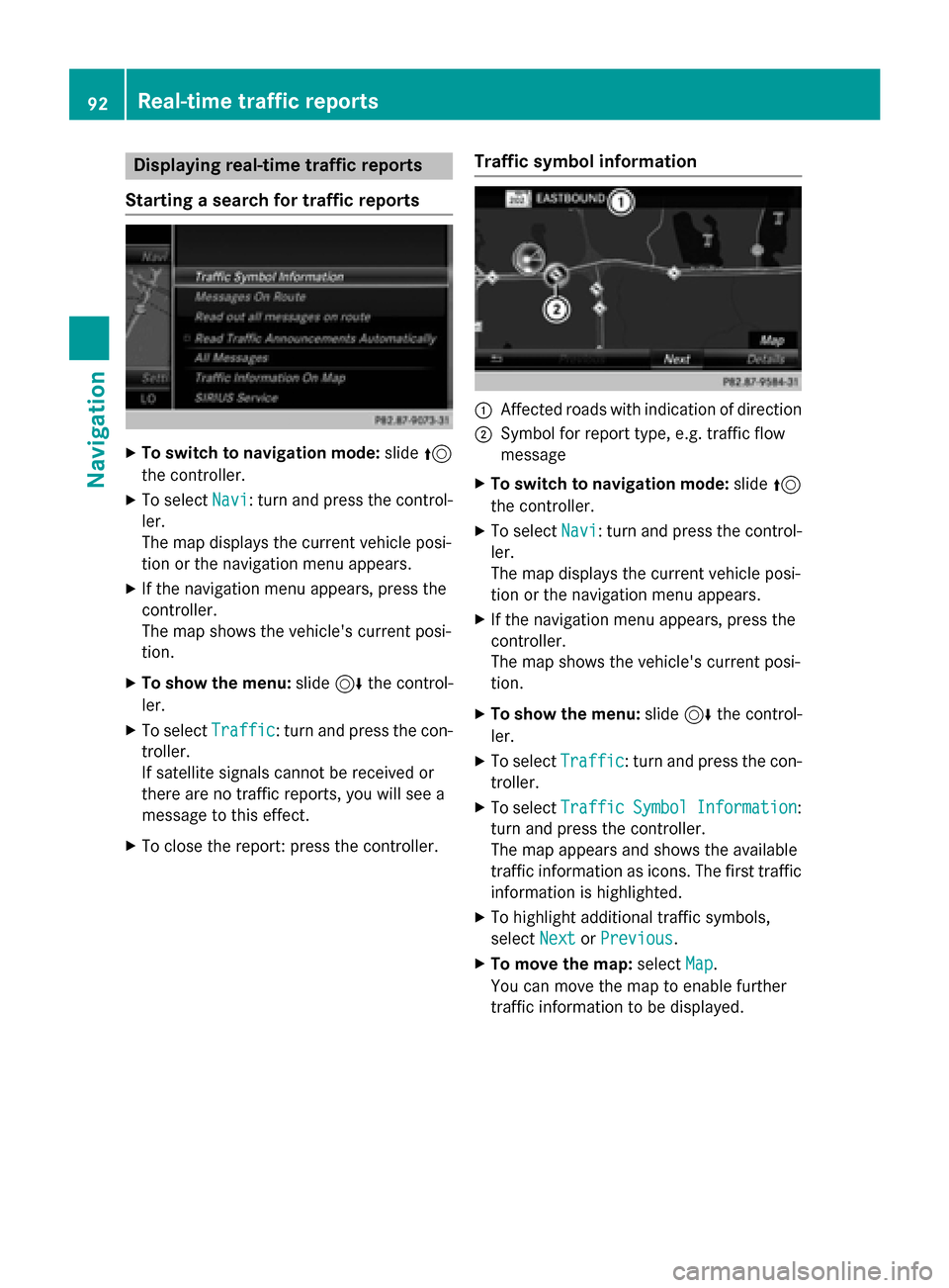
Displaying real-time traffic reports
Starting asearc hfor traffic reports
XTo switch to navigation mode: slide5
th econtroller .
XTo selectNav i:turn and press th econtrol-
ler .
The map displays th ecurren tvehicle posi-
tion or th enavigation men uappears .
XIf thenavigation men uappears ,press th e
controller .
The map shows th evehicle' scurren tposi-
tion .
XTo show th emenu :slid e6 thecontrol-
ler .
XTo selec tTraffi c:turn and press th econ-
troller.
If satellit esignal scanno tbe received or
there are no traffic reports ,you will see a
message to this effect .
XTo close thereport: press th econtroller .
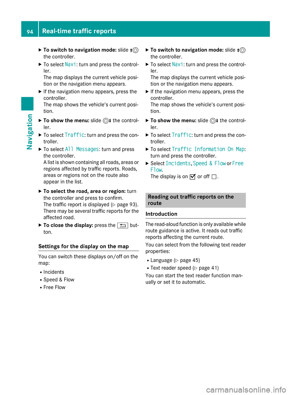
Traffic symbol information
:Affected roads wit hindication of direction
;Symbol fo rrepor ttype, e.g. traffic flo w
message
XTo switch to navigation mode: slide5
th econtroller .
XTo selectNav i:turn and press th econtrol-
ler .
The map displays th ecurren tvehicle posi-
tion or th enavigation men uappears .
XIf thenavigation men uappears ,press th e
controller .
The map shows th evehicle' scurren tposi-
tion .
XTo show th emenu :slid e6 thecontrol-
ler .
XTo selec tTraffi c:turn and press th econ-
troller.
XTo selec tTraffi cSymbolInformation:
turn and press th econtroller .
The map appears and shows th eavailable
traffic information as icons. The first traffic
information is highlighted.
XTo highlight additional traffic symbols ,
selec tNex t
orPrevious.
XTo move th emap: selectMap.
You can move th emap to enable further
traffic information to be displayed .
92Real-time traffic reports
Navigation
Page 95 of 226

You can have the traffic report relevant to a
traffic icon shown.
XTo selectDetails: turn and press the con-
troller.
The report shows the following information:
RState/province, road and display of the
affected direction
RSection of the road to which the traffic
report applies
RTraffic icon and traffic report
XTo close the detailed display: press the
% button.
Displaying reports on the route
The function is only available while route guid-
ance is active. It shows the available traffic
reports affecting the current route.
If there are no reports for the route or the
function is not supported in the selected lan-
guage: the Messages
OnRoutemenu item is
gray and cannot be selected.
XTo switch to navigation mode: slide5
the controller.
XTo select Navi: turn and press the control-
ler.
The map displays the current vehicle posi-
tion or the navigation menu appears.
XIf the navigation menu appears, press the
controller.
The map shows the vehicle's current posi-
tion.
XTo show the menu: slide6the control-
ler.
XTo select Traffic: turn and press the con-
troller.
XTo select Messages On Route: turn and
press the controller.
The traffic report window appears. Several
traffic reports may be available for the cal-
culated route, marked for example by 1/3.
The report shows the following information:
RState/province, road and display of the
affected direction
RSection of the road to which the traffic
report applies
RTraffic icon and traffic report
XTo display the next/previous traffic
report: turn the controller.
XTo close the display: press the%but-
ton.
Displaying all traffic reports
Real-time traffic reports93
Navigation
Z
Page 96 of 226
XTo switch to navigation mode:slide5
the controller.
XTo select Navi: turn and press the control-
ler.
The map displays the current vehicle posi-
tion or the navigation menu appears.
XIf the navigation menu appears, press the
controller.
The map shows the vehicle's current posi-
tion.
XTo show the menu: slide6the control-
ler.
XTo select Traffic: turn and press the con-
troller.
XTo select All Messages: turn and press
the controller.
A list is shown containing all roads, areas or
regions affected by traffic reports. Roads,
areas or regions not on the route also
appear in the list.
XTo select the road, area or region: turn
the controller and press to confirm.
The traffic report is displayed (
Ypage 93).
There may be several traffic reports for the
affected road.
XTo close the display: press the%but-
ton.
Settings for the display on the map
You can switch these displays on/off on the
map:
RIncidents
RSpeed & Flow
RFree Flow
XTo switch to navigation mode: slide5
the controller.
XTo select Navi: turn and press the control-
ler.
The map displays the current vehicle posi-
tion or the navigation menu appears.
XIf the navigation menu appears, press the
controller.
The map shows the vehicle's current posi-
tion.
XTo show the menu: slide6the control-
ler.
XTo select Traffic: turn and press the con-
troller.
XTo select TrafficInformationOnMap:
turn and press the controller.
XSelect Incidents,Speed&Flowor Free
Flow.
The display is on Oor off ª.
Reading out traffic reports on the
route
Introduction
The read-aloud function is only available while
route guidance is active. It reads out traffic
reports affecting the current route.
You can select from the following text reader
properties:
RLanguage (Ypage 45)
RText reader speed (Ypage 41)
You can start the text reader function man-
ually or set it to automatic.
94Real-time traffic reports
Navigation
Page 97 of 226

Starting the text reader function man-
ually
XTo switch to navigation mode:slide5
the controller.
XTo select Navi: turn and press the control-
ler.
The map displays the current vehicle posi-
tion or the navigation menu appears.
XIf the navigation menu appears, press the
controller.
The map shows the vehicle's current posi-
tion.
XTo show the menu: slide6the control-
ler.
XTo select Traffic: turn and press the con-
troller.
XSelect Read Out All Messages on
Route.
COMAND reads out the reports in
sequence.
If there are no reports for the route, the
Read
OutAllMessagesonRoutemenu
item is gray and cannot be selected.
XTo cancel the read-aloud function: select
Cancel Read-Aloud Function
.
COMAND reads out the current report and
then exits the read-aloud function.
Automatic read-aloud function
XTo switch to navigation mode: slide5
the controller.
XTo select Navi: turn and press the control-
ler.
The map displays the current vehicle posi-
tion or the navigation menu appears.
XIf the navigation menu appears, press the
controller.
The map shows the vehicle's current posi-
tion.
XTo show the menu: slide6the control-
ler.
XTo select Traffic: turn and press the con-
troller.
XSelect Read Traffic Announcements
Automatically.
Depending on the previous state, switch
the option on Oor off ª.
Recalculating the route dynamically
TheDynamic Traffic Routeroute type
takes into account all of the traffic reports it
receives for the current route when calculat-
ing the route (
Ypage 60).
If you have selected Dynamic Traffic
Routeas the route type, COMAND guides you
to your destination along the updated route.
Storing destinations
General notes
If a route to a destination has been calculated,
COMAND saves the destination to the last
destinations memory. If the memory is full,
COMAND overwrites the oldest destination.
When you save the current vehicle position or a crosshair position, this position is stored in
the "Last destinations" memory.
You can save destinations permanently in the
address book and on an SD memory card. For instance, this is possible immediately after
entering an address.
Requirement: the SD memory card is format-
ted using the FAT file system (e.g. FAT32).
Storing destinations95
Navigation
Z
Page 98 of 226
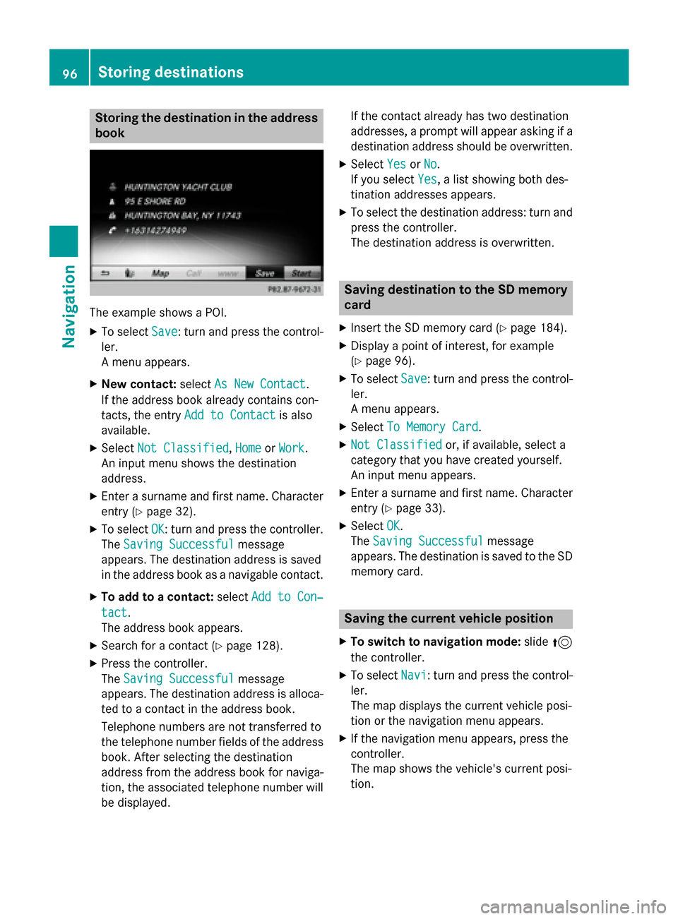
Storing the destination in the address
book
The example shows a POI.
XTo selectSave: turn and press the control-
ler.
A menu appears.
XNew contact: selectAs New Contact.
If the address book already contains con-
tacts, the entry Add to Contact
is also
available.
XSelect Not Classified,Homeor Work.
An input menu shows the destination
address.
XEnter a surname and first name. Character
entry (
Ypage 32).
XTo select OK: turn and press the controller.
The Saving Successful
message
appears. The destination address is saved
in the address book as a navigable contact.
XTo add to a contact: selectAdd to Con‐
tact.
The address book appears.
XSearch for a contact (Ypage 128).
XPress the controller.
The Saving Successful
message
appears. The destination address is alloca- ted to a contact in the address book.
Telephone numbers are not transferred to
the telephone number fields of the address
book. After selecting the destination
address from the address book for naviga-
tion, the associated telephone number will
be displayed. If the contact already has two destination
addresses, a prompt will appear asking if a
destination address should be overwritten.
XSelect
YesorNo.
If you select Yes
, a list showing both des-
tination addresses appears.
XTo select the destination address: turn and
press the controller.
The destination address is overwritten.
Saving destination to the SD memory
card
XInsert the SD memory card (Ypage 184).
XDisplay a point of interest, for example
(
Ypage 96).
XTo select Save: turn and press the control-
ler.
A menu appears.
XSelect To Memory Card.
XNot Classifiedor, if available, select a
category that you have created yourself.
An input menu appears.
XEnter a surname and first name. Character
entry (
Ypage 33).
XSelect OK.
The Saving Successful
message
appears. The destination is saved to the SD
memory card.
Saving the current vehicle position
XTo switch to navigation mode: slide5
the controller.
XTo select Navi: turn and press the control-
ler.
The map displays the current vehicle posi-
tion or the navigation menu appears.
XIf the navigation menu appears, press the
controller.
The map shows the vehicle's current posi-
tion.
96Storing destinations
Navigation
Page 99 of 226
XTo show the menu:slide6the control-
ler.
XTo select Position: turn and press the
controller.
XSelect Save.
The current vehicle position is saved in
"Last destinations".
Saving the crosshair position
XTo switch to navigation mode: slide5
the controller.
XTo select Navi: turn and press the control-
ler.
The map displays the current vehicle posi-
tion or the navigation menu appears.
XIf the navigation menu appears, press the
controller.
The map shows the vehicle's current posi-
tion.
XTo display the crosshair: press the con-
troller.
XMove the map to the desired position
(
Ypage 60).
XTo show the menu: press the controller.
XTo select Position: turn and press the
controller.
XSelect Save.
The crosshair position is saved in the last
destinations.
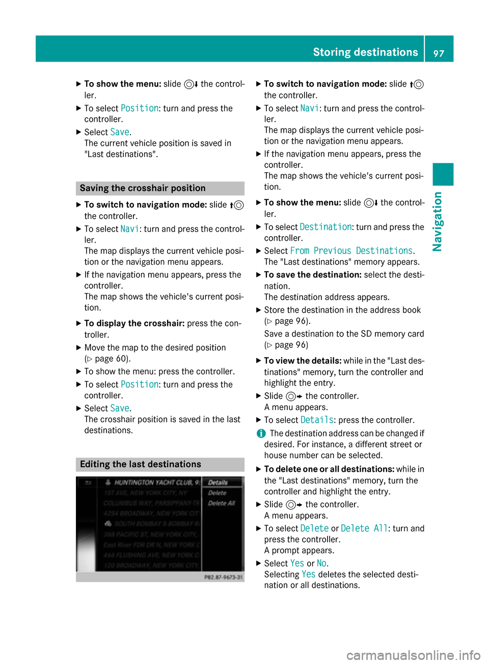
Editing the last destinations
XTo switch to navigation mode: slide5
the controller.
XTo select Navi: turn and press the control-
ler.
The map displays the current vehicle posi-
tion or the navigation menu appears.
XIf the navigation menu appears, press the
controller.
The map shows the vehicle's current posi-
tion.
XTo show the menu: slide6the control-
ler.
XTo select Destination: turn and press the
controller.
XSelect From Previous Destinations.
The "Last destinations" memory appears.
XTo save the destination: select the desti-
nation.
The destination address appears.
XStore the destination in the address book
(
Ypage 96).
Save a destination to the SD memory card
(
Ypage 96)
XTo view the details: while in the "Last des-
tinations" memory, turn the controller and
highlight the entry.
XSlide 9the controller.
A menu appears.
XTo select Details: press the controller.
iThe destination address can be changed if
desired. For instance, a different street or
house number can be selected.
XTo delete one or all destinations: while in
the "Last destinations" memory, turn the
controller and highlight the entry.
XSlide 9the controller.
A menu appears.
XTo select DeleteorDelete All: turn and
press the controller.
A prompt appears.
XSelect YesorNo.
Selecting Yes
deletes the selected desti-
nation or all destinations.
Storing destinations97
Navigation
Z
Page 100 of 226

Map functions
General notes
Company logos displayed on the map are
trademarks of the respective companies and
used solely for the purpose of indicating the
locations of these companies. The use of such
logos on the map does not indicate approval
of, support of or advertising by these compa-
nies for the navigation system itself.
iAlternatively, you can carry out this oper-
ation using the touchpad (
Ypage 25).
Map settings
Setting the map scale
Requirement: the map is in full screen mode, the menu is faded out (
Ypage 59).
The lower left-hand section of the map shows
the currently set map scale and compass nee-
dle.
Right-hand-drive vehicles: the currently set
map scale and compass needle are displayed
in the lower right-hand section of the map.
XTo show the map in full screen mode: to
hide the menu, push the %button.
or
XSlide the controller to the center of the map
and press to confirm.
XTo set the map scale: as soon as you turn
the controller, the scale bar appears on the
bottom of the display.
XTurn the controller until the needle points
to the desired map scale.
Once you are finished selecting a map
scale, the new map scale will be shown.
Selecting map orientation
XTo switch to navigation mode: slide5
the controller.
XTo select Navi: turn and press the control-
ler.
The map displays the current vehicle posi-
tion or the navigation menu appears.
XIf the navigation menu appears, press the
controller.
The map shows the vehicle's current posi-
tion.
XTo show the menu: slide6the control-
ler.
XTo select Options: turn and press the con-
troller.
XSelect Map Orientation.
The #dot indicates the current setting.
XTurn and press the controller.
The map orientation is set.
The image is an example of the 3D map dis-
play with crosshair.
98Map functions
Navigation
Page 101 of 226
Map orien-
tationExplanation
North Up0The map view is displayed
so that north is always up.
Heading
Up
¤ The map view is aligned to
the direction of travel. The
direction of travel is always
at the top; the red tip of the
symbol points north.
3-D Map¤ The map view is aligned to
the direction of travel. The
map displays a 3D oblique
view with elevation; the red
tip of the symbol points
north.
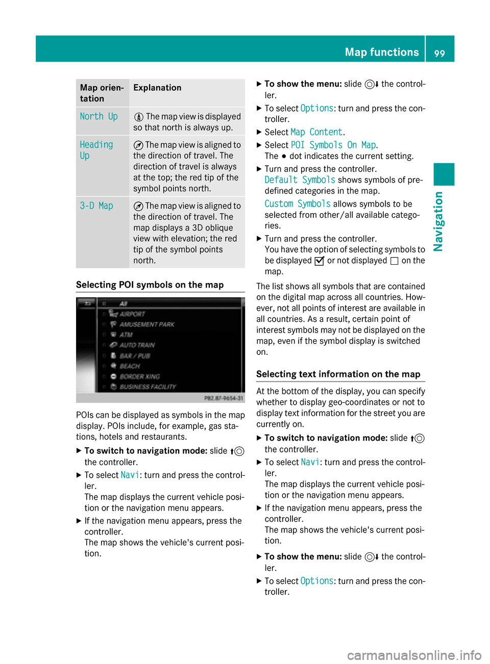
Selecting POI symbols on the map
POIs can be displayed as symbols in the map
display. POIs include, for example, gas sta-
tions, hotels and restaurants.
XTo switch to navigation mode: slide5
the controller.
XTo select Navi: turn and press the control-
ler.
The map displays the current vehicle posi-
tion or the navigation menu appears.
XIf the navigation menu appears, press the
controller.
The map shows the vehicle's current posi-
tion.
XTo show the menu: slide6the control-
ler.
XTo select Options: turn and press the con-
troller.
XSelect Map Content.
XSelectPOI Symbols On Map.
The #dot indicates the current setting.
XTurn and press the controller.
Default Symbols
shows symbols of pre-
defined categories in the map.
Custom Symbols
allows symbols to be
selected from other/all available catego-
ries.
XTurn and press the controller.
You have the option of selecting symbols to
be displayed Oor not displayed ªon the
map.
The list shows all symbols that are contained
on the digital map across all countries. How-
ever, not all points of interest are available in
all countries. As a result, certain point of
interest symbols may not be displayed on the
map, even if the symbol display is switched
on.
Selecting text information on the map
At the bottom of the display, you can specify
whether to display geo-coordinates or not to
display text information for the street you are
currently on.
XTo switch to navigation mode: slide5
the controller.
XTo select Navi: turn and press the control-
ler.
The map displays the current vehicle posi-
tion or the navigation menu appears.
XIf the navigation menu appears, press the
controller.
The map shows the vehicle's current posi-
tion.
XTo show the menu: slide6the control-
ler.
XTo select Options: turn and press the con-
troller.
Map functions99
Navigation
Z