�The NISSAN Navigation System may not
calculate a route if the current vehicle loca-
tion is too far away from the destination. In
this case, please divide your trip by selecting
one or two intermediate destinations.
NOTE:
There may be cases that carpool lanes are
included on a suggested road when the
automatic rerouting function is activated
and even if the “Use Time Restricted
Roads” is turned off. Refer to “Setting the
priorities for route calculation” on page
5-34 for details.
�The navigation system does not provide route
guidance for dark green roads. Therefore, if
the destination is set on a dark green road,
the enlarged map display will return to the
ordinary map screen at a point on a sug-
gested road that is near the destination, and
the distance and direction to the end point of
the suggested road will be displayed on
upper right corner of the screen.
Also, at this time, the voice will say, “En route
to your destination, some roads contain in-
complete map data. Turn guidance will not be
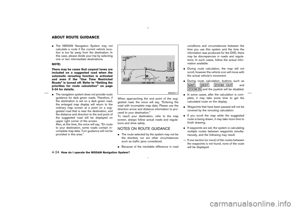
provided in this area.”When approaching the end point of the sug-
gested road, the voice will say, “Entering the
road with incomplete map data. Please use the
direction arrow and distance information to pro-
ceed to your destination.”
To reach your destination, refer to the map
screen, always follow actual roads and regula-
tions and drive safely.
NOTES ON ROUTE GUIDANCE�The route selected by the system may not be
the shortest, nor are other circumstances
such as traffic jams considered.
�Because of the inevitable difference in roadconditions and circumstances between the
time you use this system and the time the
information was produced for the DVD, there
may be discrepancies in roads and regula-
tions. In such cases, follow the actual infor-
mation available.
�During route calculation, the map will not
scroll, however the vehicle icon will move with
the actual vehicle’s movement.
�During route calculation, buttons such as
MAP , DEST , ZOOM OUT and
ZOOM IN and the joystick will be disabled.
�In some cases, after the calculation is com-
plete, it may take some time to get the
calculated route on the display.
�Waypoints that have been passed will not be
covered by the rerouting calculation.
�If you scroll the map while the suggested
route is being drawn, it may take more time to
finish drawing.
�If waypoints are set, the system is calculating
multiple routes between waypoints simulta-
neously, and the following may result.
— If one section (or more) of the routes between
the waypoints is not found, none of the route
will be displayed.
INV2311
ABOUT ROUTE GUIDANCE4-24
How do I operate the NISSAN Navigation System?
�
04.7.6/Z33-N
�
�When the system is re-drawing the display in
the Birdview
TM
display, the distance the ve-
hicle travels becomes longer, and/or the de-
gree the vehicle turns becomes larger than in
the Planview display in order to complete
re-drawing.
�The names of the roads and locations may
differ, depending on where the names appear
on the screen.
�In order to avoid having too much detail on
the map, all road names are not always
shown on the screen. When the display
re-draws the map, a road name which is
shown on the previous screen may not ap-
pear on the new screen.Use the ZOOM IN / ZOOM OUT buttons to
change the scale of the display and height view.
Nine map scales are available from the most
detailed (1 : 10,000) to the widest view (1 :
20.48 million).
Each time the ZOOM IN button is pressed, the
map scale will change one level to display a
more detailed map.
Each time the ZOOM OUT button is pressed,
the map scale will change one level to display a
map that shows a wider area.
The chosen map scale will be displayed on the
left side of the screen.
INFO:
By pressing the button repeatedly, you can skip
the levels to reach the map of desired scale.Scale level on the Planview display
Map scale Actual distance
1 : 20.48 million 160 miles (256 km)
1 : 5.12 million 40miles (64 km)
1 : 1.28 million 10miles (16 km)
1 : 320,000 2.5 miles (4 km)
1 : 160,000 1 mile (2 km)
1 : 80,000 1/2 mile (1 km)
1 : 40,000 1/4 mile (500 m)
1 : 20,000 1/8 mile (200 m)
1 : 10,000 1/16 mile (100 m)
Scales on the Birdview
TM
display are listed on
page 11-3.
ZOOMINGIN AND OUT OF THE
MAP
11-6
How do I adjust the display?
�
04.7.6/Z33-N
�
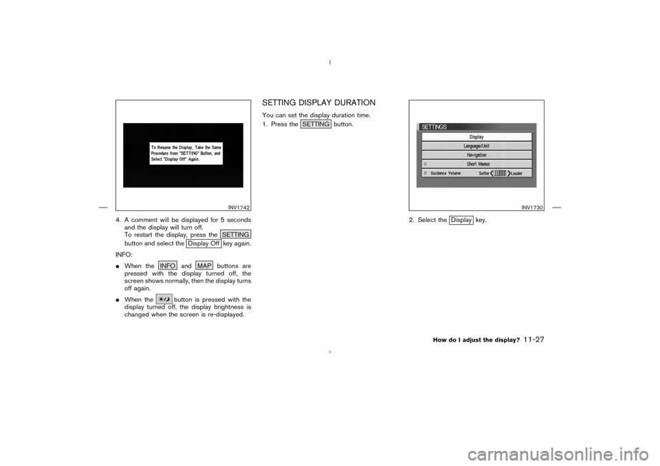
4. A comment will be displayed for 5 seconds
and the display will turn off.
To restart the display, press the SETTING
button and select the
Display Off key again.
INFO:
�When the INFO and MAP buttons are
pressed with the display turned off, the
screen shows normally, then the display turns
off again.
�When the
button is pressed with the
display turned off, the display brightness is
changed when the screen is re-displayed.
SETTING DISPLAY DURATIONYou can set the display duration time.
1. Press the SETTING button.
2. Select the
Display key.
INV1742
INV1730
How do I adjust the display?
11-27
�
04.7.6/Z33-N
�