Page 75 of 112

Navigation 153
Navigation
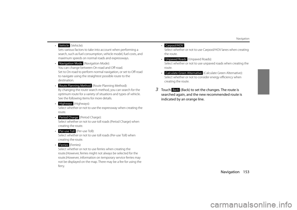
• (Vehicle):Sets various factors to take in to account when performing a
search, such as fuel consumption, vehicle model, fuel costs, and
maximum speeds on normal roads and expressways.
• (Navigation Mode):
You can change between On-road and Off-road.
Set to On-road to perform normal navigation, or set to Off-road
to navigate using the straightest possible route to the
destination.
• (Route Planning Method):
By changing the route search method, you can search for the
optimum route for a variety of si tuations and types of vehicle.
See the following items for more details.
• ( Hig hw ays):
Select whether or not to use the expressway when creating the
route.
• (Period Charge):
Select whether or not to use toll roads (Period Charge) when
creating the route.
• (Per-use Toll):
Select whether or not to use to ll roads (Per-use Toll) when
creating the route.
• (Ferries): Select whether or not to use ferries when creating the
route.(However, ferries might not always be selected for the
route.)However, information on temporary service ferries may
not be displayed on the map. There may be a fee for using the
ferry. •:
Select whether or not to use Carpool/HOV lanes when creating
the route.
• (Unpaved Roads):
Select whether or not to use unpaved roads when creating the
route.
• (Calculate Green Alternative):
Select whether or not to consi der energy efficiency when
creating the route.
3Touch (Back) to set the changes. The route is
searched again, and the new recommended route is
indicated by an orange line.
Vehicle
Navigation Mode
Route Planning Method
Highways
Period Charge
Per-use Toll
Ferries
Carpool/HOV
Unpaved Roads
Calculate Green Alternative
Back
Page 93 of 112

Navigation 171
Reference Data
Route Settings
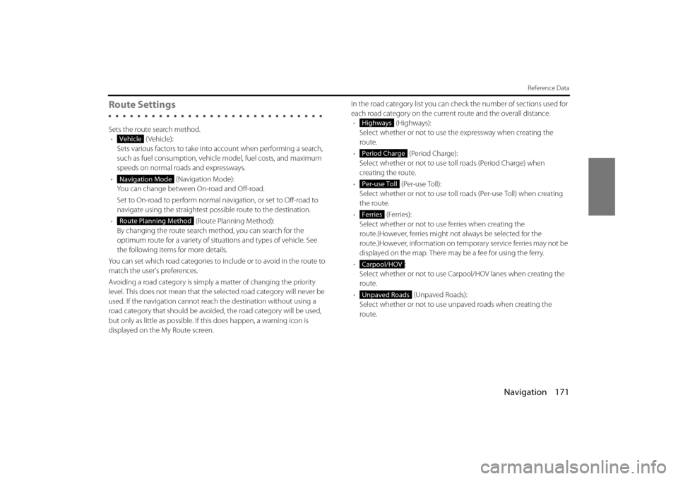
Sets the route search method.• (Vehicle):
Sets various factors to take into account when performing a search,
such as fuel consumption, vehicle model, fuel costs, and maximum
speeds on normal roads and expressways.
• (Navigation Mode):
You can change between On-road and Off-road.
Set to On-road to perform normal navigation, or set to Off-road to
navigate using the straightest possible route to the destination.
• (Route Planning Method):
By changing the route search method, you can search for the
optimum route for a variety of situations and types of vehicle. See
the following items for more details.
You can set which road categories to include or to avoid in the route to
match the user's preferences.
Avoiding a road category is simply a matter of changing the priority
level. This does not mean that the se lected road category will never be
used. If the navigation cannot reac h the destination without using a
road category that should be avoided, the road category will be used,
but only as little as possible. If this does happen, a warning icon is
displayed on the My Route screen. In the road category list you can check the number of sections used for
each road category on the current route and the overall distance.
• (Highways):
Select whether or not to use the expressway when creating the
route.
• (Period Charge):
Select whether or not to use to ll roads (Period Charge) when
creating the route.
• (Per-use Toll):
Select whether or not to use toll roads (Per-use Toll) when creating
the route.
• (Ferries):
Select whether or not to us e ferries when creating the
route.(However, ferries might not always be selected for the
route.)However, information on temporary service ferries may not be
displayed on the map. There may be a fee for using the ferry.
• :
Select whether or not to use Carpool/HOV lanes when creating the
route.
• (Unpaved Roads):
Select whether or not to use un paved roads when creating the
route.
Vehicle
Navigation Mode
Route Planning Method
Highways
Period Charge
Per-use Toll
Ferries
Carpool/HOV
Unpaved Roads
Page 97 of 112

Navigation 175
Reference Data
Units and Formats
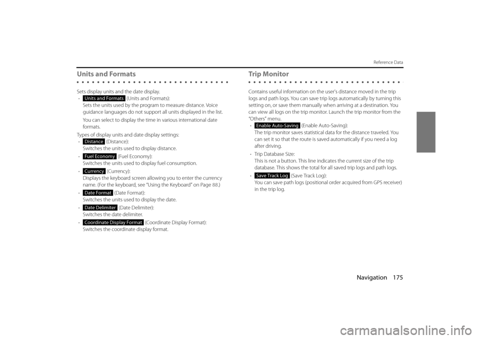
Sets display units and the date display.• (Units and Formats):
Sets the units used by the prog ram to measure distance. Voice
guidance languages do not support all units displayed in the list.
You can select to display the time in various international date
formats.
Types of display units and date display settings: • (Distance):
Switches the units used to display distance.
• (Fuel Economy):
Switches the units used to display fuel consumption.
• (Currency):
Displays the keyboard screen allowing you to enter the currency
name. (For the keyboard, see “Using the Keyboard” on Page 88.)
• (Date Format):
Switches the units used to display the date.
• (Date Delimiter):
Switches the date delimiter.
• (Coordinate Display Format):
Switches the coordinate display format.
Tr i p M o n i to r
Contains useful information on the user's distance moved in the trip
logs and path logs. You can save trip logs automatically by turning this
setting on, or save them manually wh en arriving at a destination. You
can view all logs on the trip monitor. Launch the trip monitor from the
“Others” menu. • (Enable Auto-Saving):
The trip monitor saves statistical data for the distance traveled. You
can set it so that the route is sa ved automatically if you need a log
after driving.
• Trip Database Size:
This is not a button. This line indi cates the current size of the trip
database. This shows the total for all saved trip logs and path logs.
• (Save Track Log):
You can save path logs (positional order acquired from GPS receiver)
in the trip log.
Units and Formats
Distance
Fuel Economy
Currency
Date Format
Date Delimiter
Coordinate Display Format
Enable Auto-Saving
Save Track Log