Page 130 of 312
4. Select the preferred condition.
Available conditions:
: “Fastest Route”
: “Minimize Freeway”
: “Shortest Route”5. The system automatically recalculates a
route according to the conditions set.
Return to the “Edit/Add to Route” screen.6. By selecting “Calculate” the system will re-
calculate the routes. After the route search
is completed, the display will automatically
return to the present location screen.
INFO:
●The recalculated route may not be the short-
est route because the system prioritizes easy-
to-drive roads for safety reasons.
●If the route conditions are set from “Route
Settings”, all sections in the route are subject
to the same route conditions. This applies
even if different route conditions are set for
different sections in “Edit Route”.
CONFIRMING A ROUTE
When the suggested route is displayed after
calculation, the route information can be con-
firmed or the suggested route simulated.
NRG0040NRG0041NRG0042
Route guidance5-25
Page 131 of 312
Basic operation
1. Press ROUTE.
2. Select “Route Info”.3. Select the preferred item.
Available items:
●“Turn List”:
Displays the details of the suggested route.
“Using turn list” (page 5-27)
●“Preview”:
The system will trace the planned route going
forward or in reverse.
“Using route preview” (page 5-27)
●“Simulation”:
Simulate the suggested route. This function
provides a detailed image of the route with
voice guidance.
“Confirming by simulation”
(page 5-27)●“Store Route”:
A calculated route can be stored. A maximum
of 5 routes can be stored. Stored routes can
be easily retrieved and set as the suggested
route.
“STORING A ROUTE” (page 6-7)
●“Map Scroll”:
Displays a map screen where the location of
the destination can be confirmed. Even if the
map screen is touched, the same map screen
as when “Map Scroll” is selected is displayed.
NRG0043NRG0044
5-26Route guidance
Page 134 of 312
RECALCULATE ROUTE
The route can be searched for again manually af-
ter changing the search condition. When the ve-
hicle deviates from the suggested route, the
route from the current location to the destination
is automatically searched again.
Re-searching the route manually
1. Press ROUTE.
2. Select “Recalculate”.3. A message is displayed, and the route is
recalculated.
NRG0049NRG0050
Route guidance5-29
Page 136 of 312
4. Select “Auto Reroute”. The indicator for the
selected condition illuminates. When the
current location map screen or route setting
screen is displayed, the system recalculates
a route with the set conditions.
“Basic operation” (page 5-33)
SETTING A DETOUR ROUTE
To detour from the suggested route, a route de-
touring for a specified distance can be
calculated.1. Press ROUTE.
2. Select “Detour”.3. Select a detour distance.
After calculating the detour, the system displays
the detour route on the map.
INFO:
●When the vehicle has deviated from the sug-
gested route, “Detour” cannot be selected.
●If the system cannot calculate a detour with
the specified conditions, it displays the previ-
ous suggested route.
●If the vehicle is traveling very fast, the detour
route may start from a location that the vehicle
has already passed.
NRG0054NRG0055NRG0056
Route guidance5-31
Page 137 of 312
SEARCHING FOR A DETOUR
ROUTE TAKING TRAFFIC INFORMA-
TION INTO CONSIDERATION
When a serious traffic event occurs on the route,
or if the system finds a faster route, a detour alert
will pop up automatically. If the automatic alert is
missed, a detour can also be searched for
manually.
1. Press ROUTE.
2. Select “Traffic Detour”.3. When the detour search is successful, de-
tailed information about the detour route
(left screen) and the comparison screen of
the two routes (right screen) are displayed.
�1Original route (yellow)
�2Detour route (pink)
�3The change of distance and estimated
travel time to destination when the de-
tour route is taken.
4. To accept the suggested detour route, se-
lect “Yes”.
INFO:
●If no route is set, or “Use Real Time Traffic In-
formation” is turned off, this function cannot
be operated.
NRG0057NRG0058
5-32Route guidance
Page 138 of 312

●If no detour route is selected and no further
action is provided, the detour route will be au-
tomatically cancelled.
●The detour suggestion may be retrieved even
after the message disappears by manually se-
lecting “Traffic Detour”. The system will then
search for the detour again and suggest a de-
tour if one is available at that time.
●Without a subscription to an XM NavTraffic�
broadcast, it will not be possible to get a traf-
fic detour or apply settings for traffic informa-
tion related functions. A message appears
when a related menu item is selected.
●See “NOTES ON XM NavTraffic�INFORMA-
TION” for further information.
Automatic detour guidance
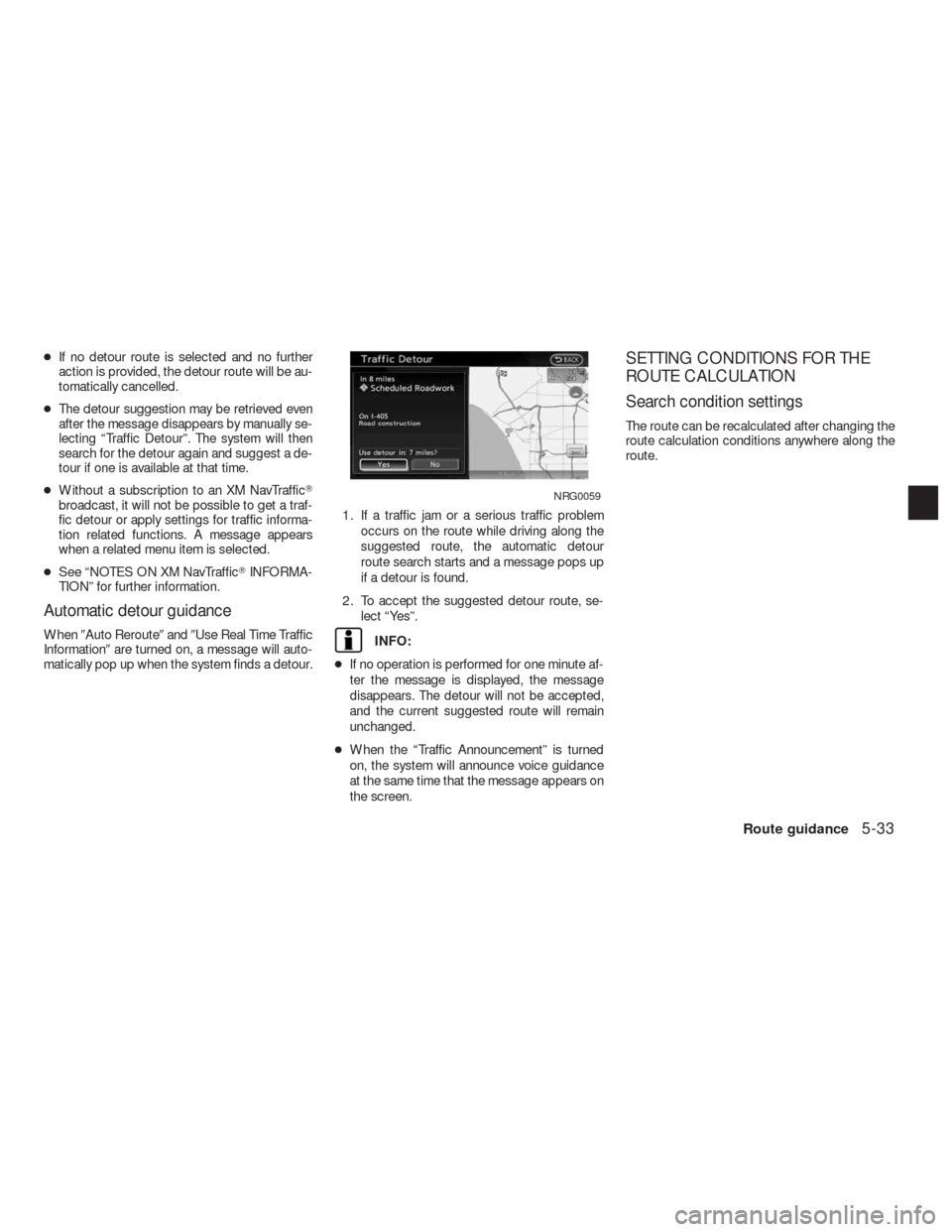
When�Auto Reroute�and�Use Real Time Traffic
Information�are turned on, a message will auto-
matically pop up when the system finds a detour.1. If a traffic jam or a serious traffic problem
occurs on the route while driving along the
suggested route, the automatic detour
route search starts and a message pops up
if a detour is found.
2. To accept the suggested detour route, se-
lect “Yes”.INFO:
●If no operation is performed for one minute af-
ter the message is displayed, the message
disappears. The detour will not be accepted,
and the current suggested route will remain
unchanged.
●When the “Traffic Announcement” is turned
on, the system will announce voice guidance
at the same time that the message appears on
the screen.
SETTING CONDITIONS FOR THE
ROUTE CALCULATION
Search condition settings
The route can be recalculated after changing the
route calculation conditions anywhere along the
route.
NRG0059
Route guidance5-33
Page 139 of 312

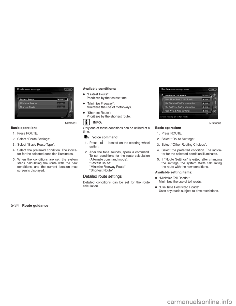
Basic operation:
1. Press ROUTE.
2. Select “Route Settings”.
3. Select “Basic Route Type”.
4. Select the preferred condition. The indica-
tor for the selected condition illuminates.
5. When the conditions are set, the system
starts calculating the route with the new
conditions, and the current location map
screen is displayed.Available conditions:
●“Fastest Route”:
Prioritizes by the fastest time.
●“Minimize Freeway”:
Minimizes the use of motorways.
●“Shortest Route”:
Prioritizes by the shortest route.
INFO:
Only one of these conditions can be utilized at a
time.
Voice command
1. Press
located on the steering wheel
switch.
2. After the tone sounds, speak a command.
To set conditions for the route calculation
(Alternate command mode):
“Fastest Route”
“Minimize Freeway Route”
“Shortest Route”
Detailed route settings
Detailed conditions can be set for the route
calculation.Basic operation:
1. Press ROUTE.
2. Select “Route Settings”.
3. Select “Other Routing Choices”.
4. Select the preferred condition. The indica-
tor for the selected condition illuminates.
5. If “Route Settings” is exited after changing
the settings, the system starts calculating
the route with the new conditions.
Available setting items:
●“Minimize Toll Roads”:
Minimizes the use of toll roads.
●“Use Time Restricted Roads”:
Uses any roads subject to time restrictions.
NRG0061NRG0062
5-34Route guidance
Page 140 of 312

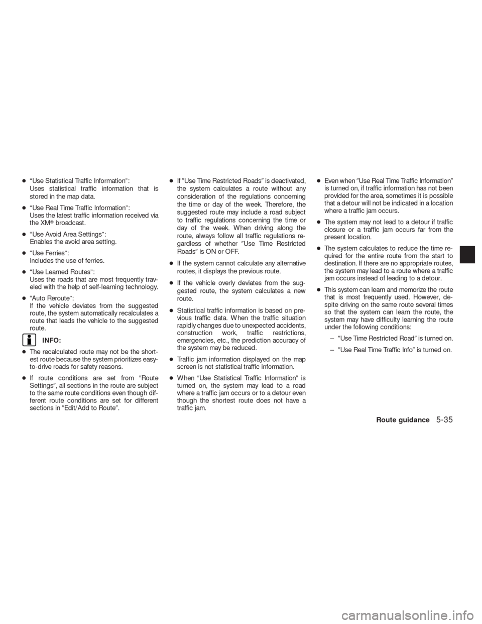
●“Use Statistical Traffic Information”:
Uses statistical traffic information that is
stored in the map data.
●“Use Real Time Traffic Information”:
Uses the latest traffic information received via
the XM�broadcast.
●“Use Avoid Area Settings”:
Enables the avoid area setting.
●“Use Ferries”:
Includes the use of ferries.
●“Use Learned Routes”:
Uses the roads that are most frequently trav-
eled with the help of self-learning technology.
●“Auto Reroute”:
If the vehicle deviates from the suggested
route, the system automatically recalculates a
route that leads the vehicle to the suggested
route.
INFO:
●The recalculated route may not be the short-
est route because the system prioritizes easy-
to-drive roads for safety reasons.
●If route conditions are set from�Route
Settings�, all sections in the route are subject
to the same route conditions even though dif-
ferent route conditions are set for different
sections in�Edit/Add to Route�.●If�Use Time Restricted Roads�is deactivated,
the system calculates a route without any
consideration of the regulations concerning
the time or day of the week. Therefore, the
suggested route may include a road subject
to traffic regulations concerning the time or
day of the week. When driving along the
route, always follow all traffic regulations re-
gardless of whether�Use Time Restricted
Roads�is ON or OFF.
●If the system cannot calculate any alternative
routes, it displays the previous route.
●If the vehicle overly deviates from the sug-
gested route, the system calculates a new
route.
●Statistical traffic information is based on pre-
vious traffic data. When the traffic situation
rapidly changes due to unexpected accidents,
construction work, traffic restrictions,
emergencies, etc., the prediction accuracy of
the system may be reduced.
●Traffic jam information displayed on the map
screen is not statistical traffic information.
●When�Use Statistical Traffic Information�is
turned on, the system may lead to a road
where a traffic jam occurs or to a detour even
though the shortest route does not have a
traffic jam.●Even when�Use Real Time Traffic Information�
is turned on, if traffic information has not been
provided for the area, sometimes it is possible
that a detour will not be indicated in a location
where a traffic jam occurs.
●The system may not lead to a detour if traffic
closure or a traffic jam occurs far from the
present location.
●The system calculates to reduce the time re-
quired for the entire route from the start to
destination. If there are no appropriate routes,
the system may lead to a route where a traffic
jam occurs instead of leading to a detour.
●This system can learn and memorize the route
that is most frequently used. However, de-
spite driving on the same route several times
so that the system can learn the route, the
system may have difficulty learning the route
under the following conditions:
–�Use Time Restricted Road�is turned on.
–�Use Real Time Traffic Info�is turned on.
Route guidance5-35