Page 54 of 237
4. Touch the preferred information key. The in-
dicator of the selected information item
illuminates.
Available information items:
cAddress Book Icons
cDestination/Waypoint Icons
cLatitude/Longitude Information5. Press the MAP button to return to the cur-
rent location map screen.
Move the cross pointer to the set location to
display the information.LNV0135LNV0136
3-10Map settings
ZREVIEW COPYÐ2008 Altima(alt)
Navigation System OMÐUSA_English(nna)
03/06/07Ðarosenma
X
Page 56 of 237
Scale level of the Plan View display
Map scale Actual distance
1:51.2 million 400 miles (640 km)
1:5.12 million 32 miles (64 km)
1:1.28 million 8 miles (16 km)
1:320,000 2 miles (4 km)
1:160,000 1 mile (2 km)
1:80,000 1/2 mile (1 km)
1:40,000 1/4 mile (500 m)
1:20,000 1/8 mile (200 m)
1:10,000 1/16 mile (100 m)
1:5,000 1/32 mile (50 m)
Example: The most detailed levelLNV0138Example: The widest levelLNV0137Example: The most detailed levelLNV0140
3-12Map settings
ZREVIEW COPYÐ2008 Altima(alt)
Navigation System OMÐUSA_English(nna)
03/06/07Ðarosenma
X
Page 57 of 237

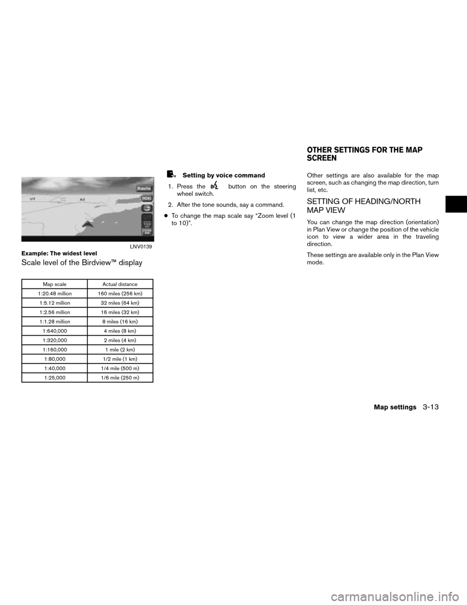
Scale level of the Birdview™ display
Map scale Actual distance
1:20.48 million 160 miles (256 km)
1:5.12 million 32 miles (64 km)
1:2.56 million 16 miles (32 km)
1:1.28 million 8 miles (16 km)
1:640,000 4 miles (8 km)
1:320,000 2 miles (4 km)
1:160,000 1 mile (2 km)
1:80,000 1/2 mile (1 km)
1:40,000 1/4 mile (500 m)
1:25,000 1/6 mile (250 m)
Setting by voice command
1. Press the
button on the steering
wheel switch.
2. After the tone sounds, say a command.
cTo change the map scale say “Zoom level (1
to 10)”.Other settings are also available for the map
screen, such as changing the map direction, turn
list, etc.
SETTING OF HEADING/NORTH
MAP VIEW
You can change the map direction (orientation)
in Plan View or change the position of the vehicle
icon to view a wider area in the traveling
direction.
These settings are available only in the Plan View
mode.
Example: The widest levelLNV0139
OTHER SETTINGS FOR THE MAP
SCREEN
Map settings3-13
ZREVIEW COPYÐ2008 Altima(alt)
Navigation System OMÐUSA_English(nna)
03/06/07Ðarosenma
X
Page 60 of 237
Some landmarks in the surrounding area can be
displayed as icons on the screen.
DISPLAYING LANDMARK ICONS
This allows you to display or hide the landmark
icons by type.
Landmark icons that can be displayed:
cRestaurant
cGas station
cHotel
cAT M
cRest area1. Touch the “MENU” key while the current lo-
cation map screen is displayed.2. Touch the “Landmark Icons” key.
LNV0130LNV0145
MAP ICONS
3-16Map settings
ZREVIEW COPYÐ2008 Altima(alt)
Navigation System OMÐUSA_English(nna)
03/06/07Ðarosenma
X
Page 61 of 237
3. Touch the preferred icon by touching the
“ON” key.
The icon display setting toggles on and off
each time you touch the “ON” key. The indi-
cator of the selected icon illuminates.4. Press the MAP button or the “Back” key.
The activated landmark icons are displayed
on the map.INFO:
You can also set the landmark icons using the
following procedure.
1. Press the SETUP button.
2. Touch the “Navigation” key.
3. Touch the “Landmark Icons” key.
MAP SYMBOLS
The navigation system uses symbols to display
facilities.
LNV0146LNV0147LNV0148
Map settings3-17
ZREVIEW COPYÐ2008 Altima(alt)
Navigation System OMÐUSA_English(nna)
03/06/07Ðarosenma
X
Page 64 of 237
Road color
The road types are differentiated by colors.
Freeway: Red
Main road: Yellow
Narrow street: Gray
Road with incomplete map data: Green
XMTNAVTRAFFIC™ SYMBOLS
When displaying the map with XMTNavTraffic™
(if so equipped) enabled the following might be
displayed:
cColored road meanings:
– Green: Light traffic.
– Yellow: Heavy traffic and moving at ap-
proximately 21 MPH (34 km) to 44 MPH
(71 km) .
– Red: Traffic jam or accident and moving
at approximately 20 MPH (30 km) to 0
MPH (0 km) .
– Purple: Road closed.
cRoad symbol meanings:
: Accident
: Closed Road
: Information
: Road Work
: Slippery Road
: Weather
: Incident
3-20Map settings
ZREVIEW COPYÐ2008 Altima(alt)
Navigation System OMÐUSA_English(nna)
03/06/07Ðarosenma
X
Page 68 of 237
CHANGING/SETTING A REGION
1. Touch the “Change Region” key.
2. Touch one of the region keys.
The indicator of the selected region
illuminates.
3. Touch the “OK” or the “Back” key to set the
change.
INFO:
The Change Region key will update to display
your chosen region.
SETTING A STREET ADDRESS
1. Touch the “Street Address” key.
A character input screen is displayed.
LNV0159LNV0151
4-4Setting a destination
ZREVIEW COPYÐ2008 Altima(alt)
Navigation System OMÐUSA_English(nna)
03/06/07Ðarosenma
X
Page 69 of 237
INFO:
Character input screen for Street Address:
h1House #:
A house number can be entered.
h2Street:
Enter a name of a street.
h3City:
“All Cities” is displayed, and all cities in
the region are available. Route calcula-
tion conditions can be narrowed down
by entering the name of the city.
h4No House #:
Touch this key if you do not know the
house number of the location.
h5ABC:
Touch this key to enable the character
input screen.
2. Enter the house number; when finished
touch the “OK” key.
If you do not know the house number, touch
the “No House #” key.
LNV0452
LNV0153
Setting a destination4-5
ZREVIEW COPYÐ2008 Altima(alt)
Navigation System OMÐUSA_English(nna)
03/06/07Ðarosenma
X