1997 MERCEDES-BENZ ML320 navigation system
[x] Cancel search: navigation systemPage 1578 of 4133
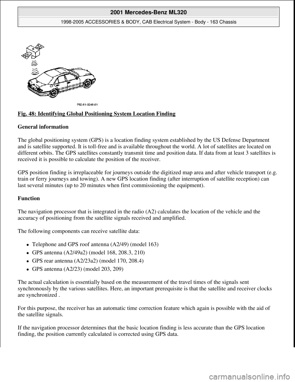
Fig. 48: Identifying Global Positioning System Location Finding
General information
The global positioning system (GPS) is a location finding system established by the US Defense Department
and is satellite supported. It is toll-free and is available throughout the world. A lot of satellites are located on
different orbits. The GPS satellites constantly transmit time and position data. If data from at least 3 satellites is
received it is possible to calculate the position of the receiver.
GPS position finding is irreplaceable for journeys outside the digitized map area and after vehicle transport (e.g.
train or ferry journeys and towing). A new GPS location finding (after interruption of satellite reception) can
last several minutes (up to 20 minutes when first commissioning the equipment).
Function
The navigation processor that is integrated in the radio (A2) calculates the location of the vehicle and the
accuracy of positioning from the satellite signals received and amplified.
The following components can receive satellite data:
Telephone and GPS roof antenna (A2/49) (model 163)
GPS antenna (A2/49a2) (model 168, 208.3, 210)
GPS rear antenna (A2/23a2) (model 170, 208.4)
GPS antenna (A2/23) (model 203, 209)
The actual calculation is essentially based on the measurement of the travel times of the signals sent
synchronously by the various satellites. Here, an important prerequisite is that the satellite and receiver clocks
are synchronized .
For this purpose, the receiver has an automatic time correction feature which again is possible with the aid of
the satellite signals.
If the navigation processor determines that the basic location finding is less accurate than the GPS location
findin
g, the position currently calculated is corrected using GPS data.
2001 Mercedes-Benz ML320
1998-2005 ACCESSORIES & BODY, CAB Electrical System - Body - 163 Chassis
me
Saturday, October 02, 2010 3:30:05 PMPage 83 © 2006 Mitchell Repair Information Company, LLC.
Page 1579 of 4133
In addition, the vehicle's course of travel is determined with the aid of the sequence of the locations calculated
with GPS.
Possible interference when receiving GPS signals
Since GPS operates in the GHz range (microwaves) and the signals are weak, reception interference can occur
as the result of:
atmospheric interference, e.g. weather, water vapor, fog
multiple reception resulting from reflecting of signals, e.g. from building walls
Signal shadows, e.g., in built-up areas, tunnel, in the proximity of higher buildings and trees
GPS reception therefore necessitates a clear view of the sky. The location finding accuracy of the GPS system is
100 m or better.
GLOBAL POSITIONING SYSTEM LOCATION FINDING, FUNCTION - GF82.61-P-3007GI
MODEL 163 as of 1.9.01 with CODE (522) Modular control system (MCS) radio USA with CODE (357)
Navigation system - additional unit with CODE (818b) Single CD player - additional unit with CODE
(491) U.S. version
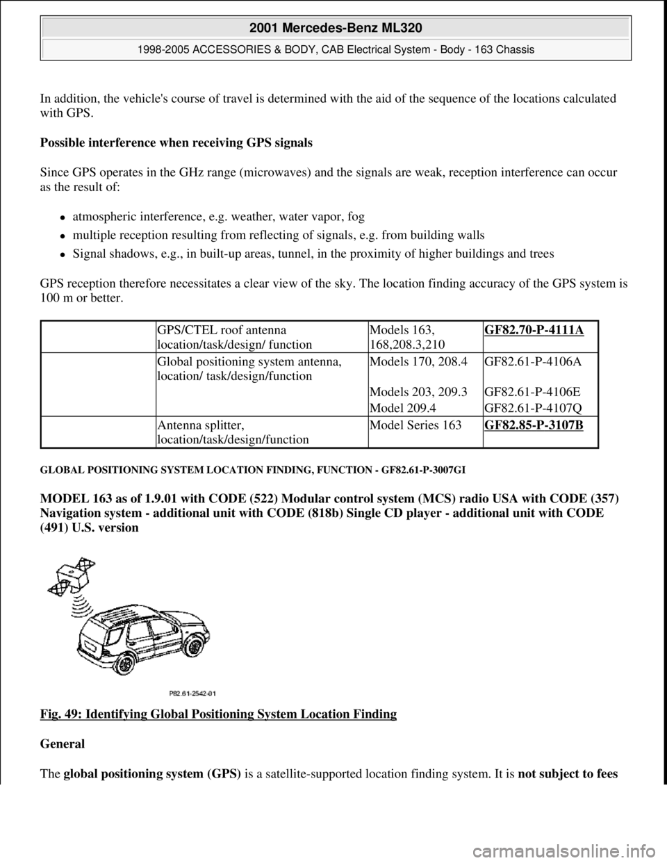
Fig. 49: Identifying Global Positioning System Location Finding
General
The global positioning system (GPS) is a satellite-supported location findin
g system. It is not subject to fees
GPS/CTEL roof antenna
location/task/design/ functionModels 163,
168,208.3,210GF82.70-P-4111A
Global positioning system antenna,
location/ task/design/functionModels 170, 208.4GF82.61-P-4106A
Models 203, 209.3GF82.61-P-4106E
Model 209.4GF82.61-P-4107Q
Antenna splitter,
location/task/design/functionModel Series 163GF82.85-P-3107B
2001 Mercedes-Benz ML320
1998-2005 ACCESSORIES & BODY, CAB Electrical System - Body - 163 Chassis
me
Saturday, October 02, 2010 3:30:05 PMPage 84 © 2006 Mitchell Repair Information Company, LLC.
Page 1580 of 4133
and is available worldwide . Presently there are 266 satellites on 6 different earth orbits. The GPSsatellites
permanently transmit time and position data. If data from a minimum of 3 satellites is received (with two-
dimensional location finding) it is possible to calculate the position of the receiver.
The GPS location finding is particularly important when driving outside of the digitized map area and
following vehicle transport (e.g. train, ferry or towing).
A repeated GPS location finding (following satellite reception interruption) can take several minutes (when
unit is initially started up to 20 min .).
GPS map matching function
The navigation processor calculates the location of the vehicle and the accuracy of positioning from the
satellite signals received and amplified by the GPS antenna (A2/49) . The current calculation is based
primarily on the measurement of the transmission times for the signals transmitted synchronously by the
various satellites. Here, an important prerequisite is that the satellite and receiver clocks are synchronized . For
this purpose, the receiver has an automatic time correction feature which again is possible with the aid of the
satellite signals. If the navigation processor determines that the basic location finding is less precise than the
GPS location finding, the currently calculated position is corrected with the aid of the GPS data .
Moreover, the vehicle route is determined from the location sequence calculated with GPS .
Approx. 50 new GPS location finding calculations are performed each minute.
Possible interference when receiving GPS signals
Since GPS operates in the GHz (microwave) range and the signals are weak, reception interferences can
occur from
atmospheric interferences, e.g. weather, water vapor, fog,
multiple path reception due to signal reflections, e.g. from building walls
Signal shadows, e.g. in built-up areas, tunnels, high buildings, trees
A free view of the sky is therefore necessary for GPS reception The location finding accuracy is approx. 100
m or better .
Basic location finding,
function GF82.61-P-3006GI
Map-supported location
finding, function GF82.61-P-3008GI
Guidance, function GF82.61-P-3012GI
Radio and navigation
module, location/purpose/
design/function GF82.61-P-4109GI
GPS roof antenna/telephone, GF82.70-P-4111A
2001 Mercedes-Benz ML320
1998-2005 ACCESSORIES & BODY, CAB Electrical System - Body - 163 Chassis
me
Saturday, October 02, 2010 3:30:05 PMPage 85 © 2006 Mitchell Repair Information Company, LLC.
Page 1581 of 4133
MAP-SUPPORTED LOCATION FINDING, FUNCTION - GF82.61-P-3008C
MODEL 163, 168, 170, 203.0 /2 /7, 208, 209.3 /4, 210 with CODE (353) Audio 30 APS
Basic representation of the map-supported location finding shown on model 210
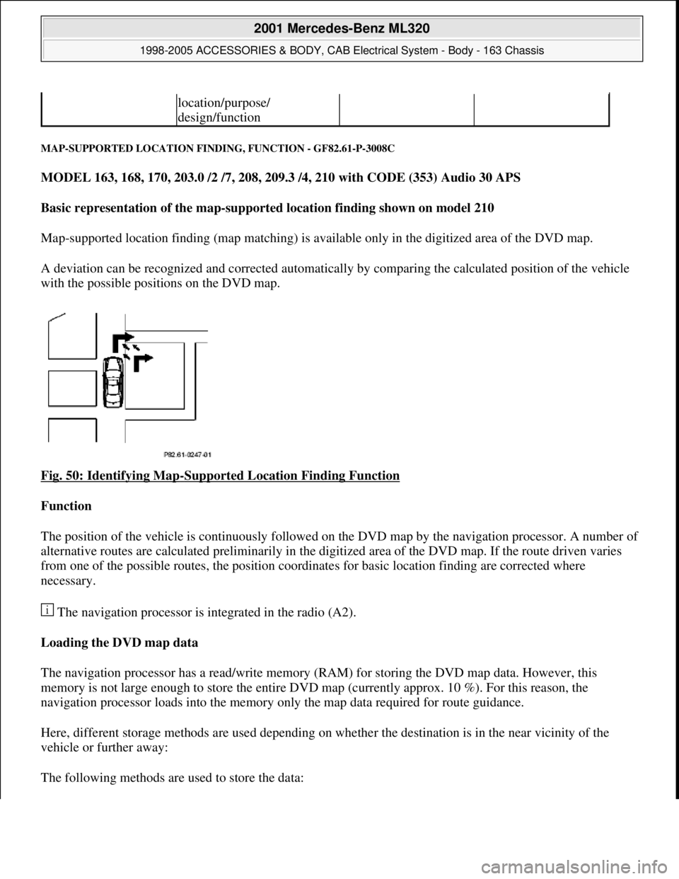
Map-supported location finding (map matching) is available only in the digitized area of the DVD map.
A deviation can be recognized and corrected automatically by comparing the calculated position of the vehicle
with the possible positions on the DVD map.
Fig. 50: Identifying Map
-Supported Location Finding Function
Function
The position of the vehicle is continuously followed on the DVD map by the navigation processor. A number of
alternative routes are calculated preliminarily in the digitized area of the DVD map. If the route driven varies
from one of the possible routes, the position coordinates for basic location finding are corrected where
necessary.
The navigation processor is integrated in the radio (A2).
Loading the DVD map data
The navigation processor has a read/write memory (RAM) for storing the DVD map data. However, this
memory is not large enough to store the entire DVD map (currently approx. 10 %). For this reason, the
navigation processor loads into the memory only the map data required for route guidance.
Here, different storage methods are used depending on whether the destination is in the near vicinity of the
vehicle or further away:
The followin
g methods are used to store the data:
location/purpose/
design/function
2001 Mercedes-Benz ML320
1998-2005 ACCESSORIES & BODY, CAB Electrical System - Body - 163 Chassis
me
Saturday, October 02, 2010 3:30:05 PMPage 86 © 2006 Mitchell Repair Information Company, LLC.
Page 1582 of 4133
If the destination is in the near vicinity, a map area is loaded within a radius of approx. 100 km of the
vehicle location ("Local area").
For destinations further away, an area is selected surrounding the vehicle location, the destination and the
concrete route to the destination ("Corridor formation").
After storing the map data, the DVD with the map data can be taken out of the drive. Now, audio CDs can also
be played.
If the driver deviates too far from the calculated route during the course of navigation system and thereby leaves
the map area stored in the navigation processor, it may be necessary to insert the DVD again in order to
calculate a new route. The navigation processor requests this automatically.
Location errors
The errors are classified into 2 categories:
Incorrect position indication between 2 driving instructions (may not occur more than once every 500
km)
Incorrect driving instruction (may not occur more than once every 1,000 km)
MAP-SUPPORTED LOCATION FINDING, FUNCTION - GF82.61-P-3008GI
MODEL 163 as of 1.9.01 with CODE (522) Modular control system (MCS) radio USA with CODE (357)
Navigation system - additional unit with CODE (818b) Single CD player - additional unit with CODE
(491) U.S. version
General
Map-supported location finding is available only in the digitized area of the CD-ROM map.
By comparing the calculated vehicle position with the CD-ROM map it is possible to recognize and
automatically correct the deviation.
Function
The vehicle position is permanently followed by the navigation processor on the CD-ROM map. If the route
deviates from the calculated route the position coordinates of the basic location finding are corrected if
necessar
y.
Global positioning
system location finding,
function GF82.61-P-3007C
2001 Mercedes-Benz ML320
1998-2005 ACCESSORIES & BODY, CAB Electrical System - Body - 163 Chassis
me
Saturday, October 02, 2010 3:30:05 PMPage 87 © 2006 Mitchell Repair Information Company, LLC.
Page 1583 of 4133
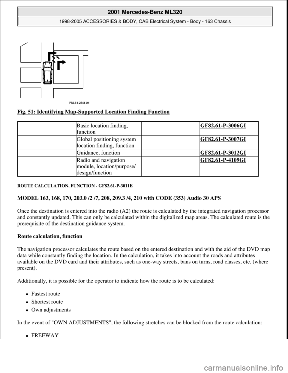
Fig. 51: Identifying Map-Supported Location Finding Function
ROUTE CALCULATION, FUNCTION - GF82.61-P-3011E
MODEL 163, 168, 170, 203.0 /2 /7, 208, 209.3 /4, 210 with CODE (353) Audio 30 APS
Once the destination is entered into the radio (A2) the route is calculated by the integrated navigation processor
and constantly updated. This can only be calculated within the digitalized map areas. The calculated route is the
prerequisite of the destination guidance system.
Route calculation, function
The navigation processor calculates the route based on the entered destination and with the aid of the DVD map
data while constantly finding the location. In the calculation, it takes into account the roads and attributes
available on the DVD card and their attributes, such as one-way streets, bans on turns, road classes, etc. (where
present).
Additionally, it is possible for the operator to indicate how the route is to be calculated:
Fastest route
Shortest route
Own adjustments
In the event of "OWN ADJUSTMENTS", the following stretches can be blocked from the route calculation:
FREEWAY
Basic location finding,
function GF82.61-P-3006GI
Global positioning system
location finding, function GF82.61-P-3007GI
Guidance, function GF82.61-P-3012GI
Radio and navigation
module, location/purpose/
design/function GF82.61-P-4109GI
2001 Mercedes-Benz ML320
1998-2005 ACCESSORIES & BODY, CAB Electrical System - Body - 163 Chassis
me
Saturday, October 02, 2010 3:30:05 PMPage 88 © 2006 Mitchell Repair Information Company, LLC.
Page 1584 of 4133
FERRY
TOLL
After calculation of the route, the navigation processor makes up a list of the streets along the route. This route
list is used for navigation. It can be displayed during navigation by pressing the "I" (INFO) and "RTE" (Route)
buttons.
Route updating
If the driver deviates from the calculated route, a new route list is automatically calculated by the navigation
processor. The current position and the direction of travel are taken into consideration, and the new route is
optimized accordingly. This is accomplished without any message on the display.
Circumventing traffic jams with "Traffic jam" menu key function
After a traffic jam is reported on traffic radio and before reaching the affected section, a route can be calculated
for driving around the traffic jam. For this purpose, activate the "Traffic jam" menu and enter the length of the
traffic jam including the distance to the start of the traffic jam.
The "Traffic jam" function is also available for Federal and State highways as well as for inner city areas.
Trips outside the digitized map area
If the vehicle leaves the digitized DVD map area (e.g. driving into a multi-level car park), then no route can be
calculated or updated. "OFF ROAD" appears on the display. Upon leaving the map boundary, the display "OFF
MAP" appears.
Destinations which lie outside of the digitalized map area cannot be taken into consideration on calculation of
the route.
ROUTE CALCULATION, FUNCTION - GF82.61-P-3011GI
MODEL 163 as of 1.9.01 with CODE (522) Modular control system (MCS) radio USA with CODE (357)
Navigation system - additional unit with CODE (818b) Single CD player - additional unit with CODE
(491) U.S. version
The route is calculated and updated continuously by the navigation processor after entering the destination on
the radio and navigation module (A2/56) It can only be calculated within the digitized map area. The
calculated route is the prerequisite of the guidance system .
Route calculation
The navigation processor calculates the route with the aid of the CD-ROMmap data, the entered destination
Destination guidance,
function GF82.61-P-3012D
2001 Mercedes-Benz ML320
1998-2005 ACCESSORIES & BODY, CAB Electrical System - Body - 163 Chassis
me
Saturday, October 02, 2010 3:30:05 PMPage 89 © 2006 Mitchell Repair Information Company, LLC.
Page 1585 of 4133
and the momentary position. When calculating it considers the roads and attributes such as one-way streets,
turning prohibitions, street classes,....(if present) read in from the CD-ROM map. Thereby it is possible for the
user to determine in which way the route is to be calculated:
Maximize freeways
Shortest route
Minimize freeways
Minimize toll roads
Following route calculation the navigation processor sets up a list of the roads and junctions to be taken. This
route list is used for guidance. It can be displayed by calling up the menu " LIST ".
Route updating
If the driver deviates from the calculated route, a new route list is calculated by the navigation
processor. The current position and the direction of travel are taken into consideration, and the
new route is optimized accordingly. If the driver wants to deviate from the route, the calculation
processor calculates a new route by pressing the multifunction key "DETR " (detour).
On freeways the newly calculated route starts within approx. 5 miles and on highways within approx. 1 mile ".
Detouring traffic jams, construction sites with "Avoid Road " function.
When approaching a traffic jam, a construction site etc., it is possible to set up a new route calculation
detouring the hindrance before the reaching the corresponding route section.
For this purpose press" NAVI MENU " button. Select "Route" with the aid of the" joystick " and then select"
Avoid Road ". Select road to be avoided in the list displayed then.
If more roads are to be avoided proceed with " Continue to Avoid Roads ". If the newly calculated route is
acceptable confirm with " Reroute ". Then confirm in " Continue Trip to " menu with Enter.
DESTINATION GUIDANCE, FUNCTION - GF82.61-P-3012D
MODEL 163, 168, 170, 203.0 /2 /7, 208, 209.3 /4, 210 with CODE (353) Audio 30 APS
Digitized DVD map area
Guidance, function GF82.61-P-3012GI
Radio and navigation
module, location/purpose/
design/function GF82.61-P-4109GI
2001 Mercedes-Benz ML320
1998-2005 ACCESSORIES & BODY, CAB Electrical System - Body - 163 Chassis
me
Saturday, October 02, 2010 3:30:05 PMPage 90 © 2006 Mitchell Repair Information Company, LLC.