Page 72 of 236
1. Push.
2. Highlight [Next Page] and push .
3. Highlight [Previous Start Point] and push
.
4. The previous start point is set as a destina-tion, and the entire route is shown on the
map. Highlight [Start] after confirming the
location of the displayed destination, and
push . The system sets the
destination to the selected location and
starts calculating a route.
INFO:
Even after setting a destination, the location of
the destination can be adjusted, the route can
be stored, etc.
“Procedures after setting destination”
(page 5-2)
Voice command
1. Push
>located on the steering
wheel switch. 2. After the tone sounds, speak a command.
To set the previous start point as the destination:
“Previous Start Point” (Alternate command
mode)
SETTING FROM STORED ROUTES
A preferred route can be selected from the
stored routes.
1. Push
.
2. Highlight [Next Page] and push .
4-12Setting destination
Page 79 of 236
3. The system sets the destination to theselected location and starts calculating a
route.
INFO:
If a point on a freeway is set as the destination, a
confirmation message is displayed. It is possible to delete a destination and all
waypoints that have already been set.
1. Press
.
2. Select [Delete Destination] and press .
3. A confirmation message is displayed. Select[Yes] and press .
The destination and the waypoints are
deleted.
INFO:
The deleted destination and waypoints are not
able to be reactivated.
Voice command
1. Push
>on the steering wheel.
2. After the tone sounds, speak a command.
To delete a destination and all waypoints:
“Delete Destination” (Alternate Command
Mode)
DELETE DESTINATION
Setting destination4-19
Page 93 of 236
![NISSAN ARMADA 2017 2.G 08IT Navigation Manual .[Detour]:
To detour from the suggested route, calcu-
late a route detouring for a specified
distance.
“Setting detour route” (page 5-22)
. [Traffic Detour]:
Manually search for an alternative det NISSAN ARMADA 2017 2.G 08IT Navigation Manual .[Detour]:
To detour from the suggested route, calcu-
late a route detouring for a specified
distance.
“Setting detour route” (page 5-22)
. [Traffic Detour]:
Manually search for an alternative det](/manual-img/5/509/w960_509-92.png)
.[Detour]:
To detour from the suggested route, calcu-
late a route detouring for a specified
distance.
“Setting detour route” (page 5-22)
. [Traffic Detour]:
Manually search for an alternative detour
route taking the traffic information into
consideration.
“Searching for detour route taking
traffic information into consideration”
(page 5-22)
. [Route Settings]:
Change the route calculation conditions
anywhere along the route.
“Setting conditions for route calcula-
tion” (page 5-23)
CANCELING/REACTIVATING ROUTE
A route that is already set can be canceled at
any time. If a route is canceled, the destination
and waypoints are also deleted.
It is also possible to reactivate a canceled route.
Canceling route
1. Push .
2. Highlight [Cancel Route] and push .
3. A confirmation message is displayed.
Highlight [Yes] and push .
The route is canceled along with the
destination and waypoints.
INFO:
Canceling a route does not delete destination
and waypoint information completely.
“Delete destination” (page 4-19)
Voice command
1. Push
>located on the steering
wheel switch.
2. After the tone sounds, speak a command. To cancel a route:
“Cancel Route” (Alternate Command Mode)
Reactivating route
1. Push .
2. Highlight [Resume Route] and push .
Route guidance5-13
Page 101 of 236

information event on the route.
Voice command
1. Push
>located on the steering
wheel switch.
2. After the tone sounds, speak a command. To turn on or off the Voice Guidance:
“Voice Guidance On/Off” (Alternate com-
mand mode)
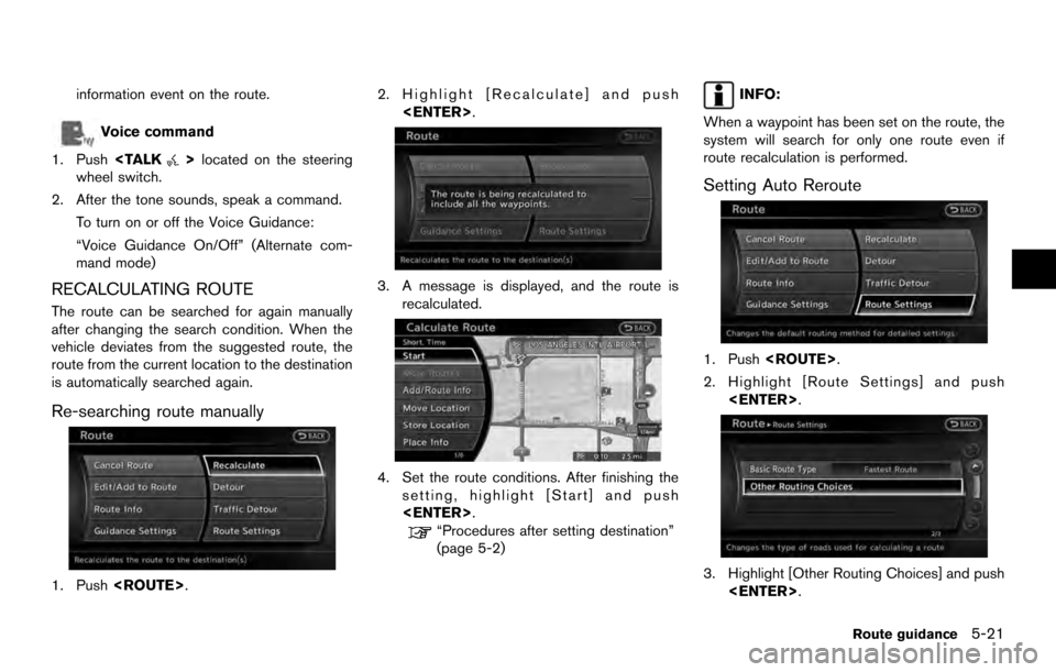
RECALCULATING ROUTE
The route can be searched for again manually
after changing the search condition. When the
vehicle deviates from the suggested route, the
route from the current location to the destination
is automatically searched again.
Re-searching route manually
1. Push . 2. Highlight [Recalculate] and push
.
3. A message is displayed, and the route isrecalculated.
4. Set the route conditions. After finishing thesetting, highlight [Start] and push
.
“Procedures after setting destination”
(page 5-2)
INFO:
When a waypoint has been set on the route, the
system will search for only one route even if
route recalculation is performed.
Setting Auto Reroute
1. Push .
2. Highlight [Route Settings] and push .
3. Highlight [Other Routing Choices] and push.
Route guidance5-21
Page 104 of 236
![NISSAN ARMADA 2017 2.G 08IT Navigation Manual Basic operation:
1. Push<ROUTE>.
2. Highlight [Route Settings] and push <ENTER>.
3. Highlight [Basic Route Type] and push <ENTER>.
4. Highlight the preferred condition and push <ENTER>. The indicator NISSAN ARMADA 2017 2.G 08IT Navigation Manual Basic operation:
1. Push<ROUTE>.
2. Highlight [Route Settings] and push <ENTER>.
3. Highlight [Basic Route Type] and push <ENTER>.
4. Highlight the preferred condition and push <ENTER>. The indicator](/manual-img/5/509/w960_509-103.png)
Basic operation:
1. Push.
2. Highlight [Route Settings] and push .
3. Highlight [Basic Route Type] and push .
4. Highlight the preferred condition and push . The indicator for the selected
condition illuminates.
5. When the conditions are set, the system starts calculating the route with the new
conditions, and the current location map
screen is displayed.
Available conditions: . [Fastest Route]:
Prioritizes by the fastest time. .
[Minimize Freeway]:
Minimizes the use of motorways.
. [Shortest Route]:
Prioritizes by the shortest route.
INFO:
Only one of these conditions can be utilized at a
time.
Voice command
1. Push
>located on the steering
wheel switch.
2. After the tone sounds, speak a command. To set conditions for the route calculation
(Alternate command mode):
“Fastest Route”
“Minimize Freeway Route”
“Shortest Route”
Detailed route settings
Detailed conditions can be set for the route
calculation.
Basic operation:
1. Push .
2. Highlight [Route Settings] and push .
3. Highlight [Other Routing Choices] and push .
4. Highlight the preferred condition and push . The indicator for the selected
condition illuminates.
5. If [Route Settings] is exited after changing the settings, the system starts calculating
the route with the new conditions.
Available setting items: . [Minimize Toll Roads]:
Minimizes the use of toll roads.
. [Use Time Restricted Roads]:
Uses any roads subject to time restrictions.
5-24Route guidance
Page 137 of 236

3. The map screen centered around theselected event is displayed. On the left
screen, the detailed information about the
event is displayed.
The message can be scrolled using the
multi-function controller or the steering
wheel.
4. Push to return to the previous
screen.
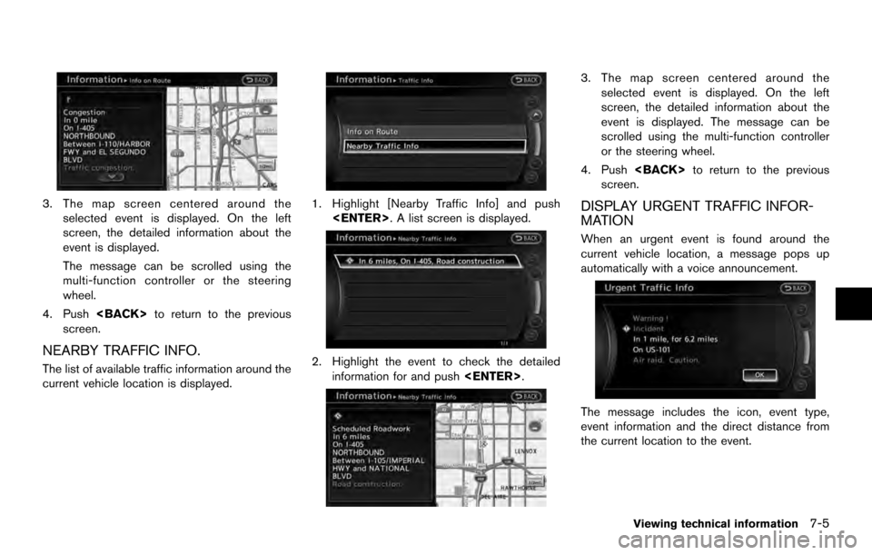
NEARBY TRAFFIC INFO.
The list of available traffic information around the
current vehicle location is displayed.
1. Highlight [Nearby Traffic Info] and push . A list screen is displayed.
2. Highlight the event to check the detailedinformation for and push .
3. The map screen centered around the
selected event is displayed. On the left
screen, the detailed information about the
event is displayed. The message can be
scrolled using the multi-function controller
or the steering wheel.
4. Push to return to the previous
screen.
DISPLAY URGENT TRAFFIC INFOR-
MATION
When an urgent event is found around the
current vehicle location, a message pops up
automatically with a voice announcement.
The message includes the icon, event type,
event information and the direct distance from
the current location to the event.
Viewing technical information7-5
Page 139 of 236

: Information
: Road work
: Slippery road
: Weather
: Incident
*4Traffic indicator:
Displays the reception condition of traffic
information transmitted from the provi-
der.
Green: Reception condition is good.
Gray: Reception condition is not good.
No mark: Subscription to NavTraffic
service is not detected.
Traffic information display and scale
levels
2D map and Birdview Map
5 miles 10 km
2 miles 4 km
1 mile 2 km
1/2 mile 1 km
1/4 mile 500 m
1/8 mile 200 m
1/16 mile 100 m
1/32 mile 50 m 2D map and Birdview Map
1/64 mile 25 m
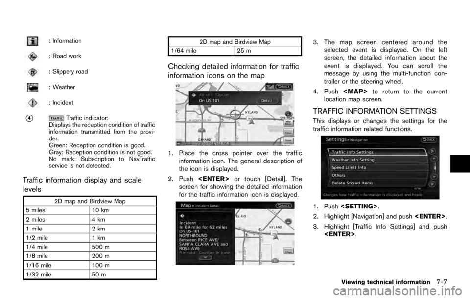
Checking detailed information for traffic
information icons on the map
1. Place the cross pointer over the traffic
information icon. The general description of
the icon is displayed.
2. Push or touch [Detail]. The
screen for showing the detailed information
for the traffic information icon is displayed.
3. The map screen centered around the selected event is displayed. On the left
screen, the detailed information about the
event is displayed. You can scroll the
message by using the multi-function con-
troller or the steering wheel.
4. Push
Page 140 of 236
![NISSAN ARMADA 2017 2.G 08IT Navigation Manual 4. Highlight the preferred setting and push<ENTER>. The indicator for the selected
setting illuminates.
Available setting items
.[Use Traffic Info]:
Enables all traffic information related func-
tions NISSAN ARMADA 2017 2.G 08IT Navigation Manual 4. Highlight the preferred setting and push<ENTER>. The indicator for the selected
setting illuminates.
Available setting items
.[Use Traffic Info]:
Enables all traffic information related func-
tions](/manual-img/5/509/w960_509-139.png)
4. Highlight the preferred setting and push. The indicator for the selected
setting illuminates.
Available setting items
.[Use Traffic Info]:
Enables all traffic information related func-
tions.
. [Show Incidents on Map]:
Displays the traffic incidents (e.g., accident)
on the map screen.
. [Show Traffic Flow on Map]:
Displays the traffic flow with an arrow on the
map screen.
. [Blink Red Traffic Flow]:
Blinks the red traffic flow lines that represent
congestions.
. [Traffic Announcement]:
Announces the traffic information event on the route.
INFO:
. Even when [Show Traffic Flow on Map] and
[Show Incidents on Map] are set to off, the
list display of [Info on Route] and [Nearby
Traffic Info] will not be affected.
. Even when [Traffic Announcement] is set to
off, the route guidance will not be affected.
Also, the announcement of emergency
information and weather information will not
be turned off.
Voice command
1. Push
>located on the steering
wheel switch.
2. After the tone sounds, speak a command.
To turn on or off the traffic information system:
“Information” “Traffic Information” (Standard
mode)
“Traffic Information” (Alternate command mode) NavWeatherXM information is a subscription
service offered by SiriusXM Satellite Radio.
This service provides real-time information
regarding current weather, temperature, warn-
ings, road conditions and forecasts where
available. The weather information is broadcast
to the vehicle by the SiriusXM Satellite Radio.
The service enables you to view the following
information on the navigation system.
. Current weather information icon of the
destination on the screen of suggested
route
. Detailed weather information and forecasts
of an area of interest
. Countrywide and local maps with the
current weather, temperature, warnings and
road condition information
. List of warning/watches events detected
around the current location
. Pop-up messages on the navigation screen
with voice announcements when warnings
and watches are detected around the
current location
VIEWING AVAILABLE WEATHER
INFORMATION
7-8Viewing technical information