Page 82 of 88

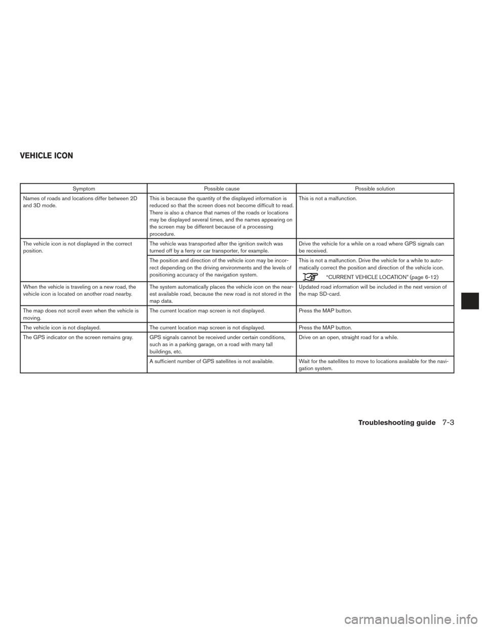
SymptomPossible cause Possible solution
Names of roads and locations differ between 2D
and 3D mode. This is because the quantity of the displayed information is
reduced so that the screen does not become difficult to read.
There is also a chance that names of the roads or locations
may be displayed several times, and the names appearing on
the screen may be different because of a processing
procedure. This is not a malfunction.
The vehicle icon is not displayed in the correct
position. The vehicle was transported after the ignition switch was
turned off by a ferry or car transporter, for example. Drive the vehicle for a while on a road where GPS signals can
be received.
The position and direction of the vehicle icon may be incor-
rect depending on the driving environments and the levels of
positioning accuracy of the navigation system. This is not a malfunction. Drive the vehicle for a while to auto-
matically correct the position and direction of the vehicle icon.
“CURRENT VEHICLE LOCATION” (page 6-12)
When the vehicle is traveling on a new road, the
vehicle icon is located on another road nearby. The system automatically places the vehicle icon on the near-
est available road, because the new road is not stored in the
map data. Updated road information will be included in the next version of
the map SD-card.
The map does not scroll even when the vehicle is
moving. The current location map screen is not displayed.
Press the MAP button.
The vehicle icon is not displayed. The current location map screen is not displayed. Press the MAP button.
The GPS indicator on the screen remains gray. GPS signals cannot be received under certain conditions, such as in a parking garage, on a road with many tall
buildings, etc. Drive on an open, straight road for a while.
A sufficient number of GPS satellites is not available. Wait for the satellites to move to locations available for the navi- gation system.
VEHICLE ICON
Troubleshooting guide7-3
Page 84 of 88

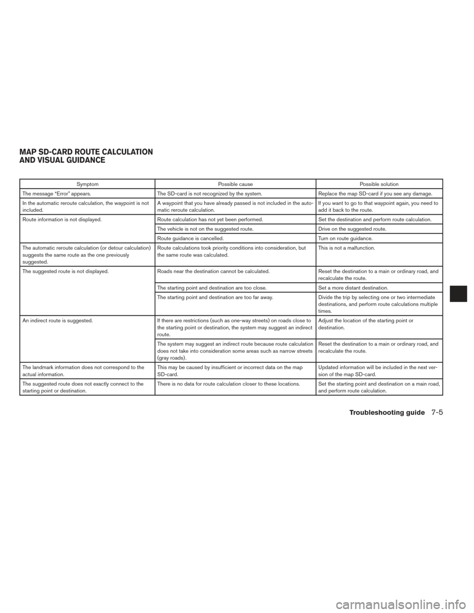
SymptomPossible cause Possible solution
The message “Error” appears. The SD-card is not recognized by the system. Replace the map SD-card if you see any damage.
In the automatic reroute calculation, the waypoint is not
included. A waypoint that you have already passed is not included in the auto-
matic reroute calculation. If you want to go to that waypoint again, you need to
add it back to the route.
Route information is not displayed. Route calculation has not yet been performed. Set the destination and perform route calculation.
The vehicle is not on the suggested route. Drive on the suggested route.
Route guidance is cancelled. Turn on route guidance.
The automatic reroute calculation (or detour calculation)
suggests the same route as the one previously
suggested. Route calculations took priority conditions into consideration, but
the same route was calculated.
This is not a malfunction.
The suggested route is not displayed. Roads near the destination cannot be calculated. Reset the destination to a main or ordinary road, and
recalculate the route.
The starting point and destination are too close. Set a more distant destination.
The starting point and destination are too far away. Divide the trip by selecting one or two intermediate
destinations, and perform route calculations multiple
times.
An indirect route is suggested. If there are restrictions (such as one-way streets) on roads close to
the starting point or destination, the system may suggest an indirect
route. Adjust the location of the starting point or
destination.
The system may suggest an indirect route because route calculation
does not take into consideration some areas such as narrow streets
(gray roads) . Reset the destination to a main or ordinary road, and
recalculate the route.
The landmark information does not correspond to the
actual information. This may be caused by insufficient or incorrect data on the map
SD-card. Updated information will be included in the next ver-
sion of the map SD-card.
The suggested route does not exactly connect to the
starting point or destination. There is no data for route calculation closer to these locations. Set the starting point and destination on a main road,
and perform route calculation.
MAP SD-CARD ROUTE CALCULATION
AND VISUAL GUIDANCE
Troubleshooting guide7-5
Page 86 of 88

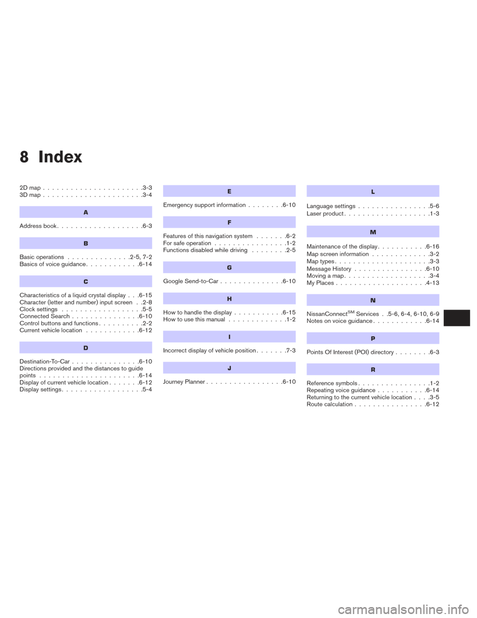
8 Index
2Dmap......................3-3
3Dmap......................3-4
A
Address book...................6-3
B
Basic operations ..............2-5,7-2
Basics of voice guidance ............6-14
C
Characteristics of a liquid crystal display . . .6-15
Character (letter and number) input screen . .2-8
Clocksettings ..................5-5
Connected Search...............6-10
Control buttons and functions ..........2-2
Current vehicle location ............6-12
D
Destination-To-Car...............6-10
Directions provided and the distances to guide
points ......................6-14
Display of current vehicle location .......6-12
Displaysettings..................5-4
E
Emergency support information ........6-10
F
Features of this navigation system .......6-2
For safe operation ................1-2
Functions disabled while driving ........2-5
G
Google Send-to-Car..............6-10
H
Howtohandlethedisplay...........6-15
How to use this manual .............1-2
I
Incorrect display of vehicle position .......7-3
J
JourneyPlanner.................6-10
L
Language settings................5-6
Laser product ...................1-3
M
Maintenance of the display ...........6-16
Map screen information .............3-2
Maptypes.....................3-3
Message History ................6-10
Moving a map ...................3-4
MyPlaces....................4-13
N
NissanConnectSMServices . .5-6, 6-4, 6-10, 6-9
Notes on voice guidance ............6-14
P
PointsOfInterest(POI)directory........6-3
R
Reference symbols................1-2
Repeating voice guidance ...........6-14
Returning to the current vehicle location ....3-5
Route calculation ................6-12
Page 87 of 88
Route calculation and visual guidance.....7-5
Route guidance ..................6-2
S
Safetyinformation ................1-2
SiriusXM Traffic information ...........6-3
Steering wheel switch ...........2-5,2-4
T
Touch screen operation examples ........2-6
Traffic features .................4-20
U
User-definedpointsofinterest(POIs).....4-13
V
Vehicleicon....................7-3
Voiceguidance...............7-6,6-3
Voice Menu....................6-9
Voice
recognition ....4-9,4-18,4-21,4-24,4-13,4-5
W
What is GPS
(Global Positioning System)? .........6-12
When a gray road is displayed on the map . .6-12
X
XMNavWeather™............4-23,4-22
8-2