2017 MERCEDES-BENZ CLS-Class ECO mode
[x] Cancel search: ECO modePage 73 of 206

XTo selectDestination: turn and press the
controller.
XSelect From Memory Card.
XSelectPersonal Routes.
Previously recorded routes are displayed.
XTo select a route: turn and press the control-
ler.
The map appears with a menu. The recorded
route is shown on the map in blue.
XTo start route calculation: selectStart.
XTo change the name and symbol: select
Edit
.
XSelect Change NameorEdit Icon.
XTo change name: enter character (Ypage 29).
XTo change symbol: select a symbol.
The symbol is saved.
Route guidance
General notes
Always observe the traffic regulations when
driving. Road and traffic rules and regulations
always have priority over system driving recom-
mendations.
The multimedia system calculates the route to
the destination without taking account of the
following, for example:
Rtraffic lights
Rstop and yield signs
Rparking or stopping restrictions
Rroad narrowing
Rtemporary traffic rules and regulations
The multimedia system may give differing navi-
gation commands if the actual street/traffic sit-
uation does not correspond with the digital
map's data. For example, if the road layout or
the direction of a one-way street has been
changed.
Route guidance begins once a route has been
calculated (
Ypage 58).
The multimedia system guides you to your des-
tination by means of navigation announcements
in the form of audible navigation announce-
ments and route guidance displays.
Navigation messages guide you during the jour-
ney without distracting you from traffic condi-
tions or driving. Please always use this feature
instead of consulting the map display for direc- tions. The symbols or the map display could dis-
tract you from traffic conditions and driving.
The route guidance displays can be seen if nav-
igation mode is switched on.
If you do not follow the navigation announce-
ments or if you leave the calculated route, the
multimedia system automatically calculates a
new route to the destination.
If the digital map contains the corresponding
information, the following applies:
RDuring route guidance, the multimedia sys-
tem tries to avoid roads with restricted
access. These include, for example, roads
which are closed to through-traffic.
RRoads that have time restrictions (e.g. closed
on Sundays and public holidays) are consid-
ered for route guidance on days when they are
open. For this purpose, the relevant times
must be correctly stored in the database.
Change of direction
Overview
Changes of direction have three phases:
RPreparation phase
RAnnouncement phase
RChange-of-direction phase
Changes in direction are also shown in the mul-
tifunction display of the instrument cluster (see
the vehicle Operator's Manual).
Preparation phase
The multimedia system prepares you for the
upcoming driving maneuver, e.g. with the
announcement "Prepare to turn right". You see
the full-screen map.
Route guidance71
Navigation
Z
Page 75 of 206

Lane recommendations are also shown in the
multifunction display of the instrument cluster
(see the vehicle Operator's Manual).
Approaching new lanes
:Approaching new lane
During the change of direction, new lanes may
be added. These will be shown in the display of
lane recommendations with a lower boundary
line.
Highway information
Display mode
Requirement: the Highway Informationmap
content must be enabled (Ypage 83).
While driving on the highway, gas stations, rest
stops, rest areas and highway exits are dis-
played along with their immediate distances
from the current vehicle position.
Calling up the selection mode
XWhen highway information is displayed, slide 9 the controller.
The marker is on the highway information. The
associated position is highlighted on the map.
XTo select the desired rest stop/freeway exit:
turn and press the controller.
The available POIs are displayed.
Starting route guidance to a POI
Highway information enables route guidance to
a POI and other functions.
XTo select a POI: turn the controller and press to confirm.
The POI details are displayed.
You can perform the following functions:
RStoring in the address book (Ypage 81)
RSaving to the SD memory card
(Ypage 82)
RViewing on the map (Ypage 86)
RCalling if a mobile phone is connected and
a phone number is available (Ypage 100)
RUSA: view the vicinity of the destination if
street images are available and mbrace is
activated for Internet access
(
Ypage 126)
Route guidance73
Navigation
Z
Page 76 of 206

RCanada: view the vicinity of the destinationif street images are availab leand a mob ile
phone isconnected to the multimedia sys-
tem via Bluetooth
®(Ypage 94) or USB
(Ypage 164)
RUSA: download data from the Internet ifan
In ternet address isavailab leand mbrace is
activated for Internet access
(
Ypage 94)
RCanada: download data from the Internet if
an Internet address isavailab leand a
mob ilephone isconnected to the multime-
dia system via Bluetooth
®(Ypage 94) or
USB (Ypage 164)
RSelect for route guidance and calculate a
route to it(Ypage 58)
Using the traffic jam function
Highway information enables the use of the traf-
fic jam function. The remaining route on the
highway inthiscase is bloc kedinthe dire ction of
travel from the selected exit.
XTo select Detour: turn and press the control-
ler.
The traff icjam function appears
(
Ypage 77).
Destination reached
Once the destination is reached, you willsee the
checkered flag. Route guidance isfinished.
Navigation announcements
Repeating navigation announcements
If you missed the current navigation announce-
ment, you can call it up again.
XTo switch to navigation mode:press the
Ø button.
XTo show the menu: slide6the controller.
XTo select +: turn and press the controller.
iIfyou previously assigned the RepeatSpo‐kenDrivingRecommendationsfunction to
the Favorites button, you can select the func-
tion using the Favorites button instead
(
Ypage 41).
Setting the volume manually
XDuring a navigation announcement, turn the
q control knob.
iWhen you start the engine, the volume will
be at its lowest setting.
74Route guidance
Navigation
Page 77 of 206

Switching navigation announcements
on/off
XTo deactivate navigation announcements:during a navigation announcement, press the
8 button on the control panel.
or
XDuring a navigation announcement, press the
8 button on the multifunction steering
wheel.
The Spoken driving recommendations
have been deactivated.message
appears.
XTo switch navigation announcements
back on: slide6the controller.
XTo select +: turn and press the controller.
The multimedia system automatically switches
the navigation announcements back on when:
Ra new route is calculated
Rthe multimedia system is switched back on
Ryou start the vehicle
A navigation message is given if the route is
recalculated during dynamic route guidance due
to new traffic reports (
Ypage 78).
Canceling/continuing route guidance
Canceling route guidance
XSlide 6the controller.
The menu is shown.
XTo select Destination, turn and press the
controller.
XSelect Cancel Active Route Guidance.
The blue route line is no longer shown on the
map.
Resuming route guidance
XSlide 6the controller.
The menu is shown.
XTo select Destination: turn and press the
controller.
XSelect Continue Route Guidance.
The multimedia system calculates the route.
Route information
Destination information
XTo switch to navigation mode: press the
Ø button.
XTo show the menu: slide6the controller.
XTo select Route: turn and press the controller.
XSelectDestination Information.
The destination and existing intermediate
destinations are displayed with distances,
travel time and arrival time.
XTo select destination or intermediate des-
tination: turn and press the controller.
The address appears.
You can use these functions for the destina-
tion or intermediate destination:
RStoring in the address book (Ypage 81)
RSaving to the SD memory card
(Ypage 81)
RViewing on the map (Ypage 86)
RCalling if a mobile phone is connected and
a phone number is available (Ypage 100)
RUSA: view the vicinity of the destination if
street images are available and mbrace is
activated for Internet access
(
Ypage 126)
RCanada: view the vicinity of the destination if street images are available and a mobile
phone is connected to the multimedia sys-
tem via Bluetooth
®(Ypage 94) or USB
(Ypage 164)
Route guidance75
Navigation
Z
Page 78 of 206

RUSA: download data from the Internet if an
Internet address is available and mbrace is
activated for Internet access (
Ypage 94).
RCanada: download data from the Internet if
an Internet address is available and a
mobile phone is connected to the multime-
dia system via Bluetooth
®(Ypage 94) or
USB (Ypage 164)
Taking an alternative route
If the CalculateAlternativeRoutessetting
is activated O, different routes will be offered
each time a route is calculated (
Ypage 54).
You can call up alternative routes to the current
route.
Route 1 is calculated with the current settings
for the route type and route options and shown
with a dark blue line.
Routes 2 and 3 are alternatives to route 1 and
also displayed with a dark blue line.
Route 4 is the most economic route and is dis-
played with a green line.
XTo switch to navigation mode: press the
Ø button.
XTo show the menu: slide6the controller.
XTo select Route, turn and press the controller.
XSelectAlternative Route.
Route 1 is shown.
XTo display additional routes: select Nextor
Previous.
XTo start a new route guidance: select
Start
.
Route list
XTo switch to navigation mode: press the
Ø button.
XTo show the menu: slide6the controller.
XTo select Route, turn and press the controller.
XSelectRoute List.
The route list shows the next change of direc-
tion and the immediate distances from the
current vehicle position.
XTo display additional route sections: turn
the controller.
The position of the change of direction that
belongs to the respective route section is
indicated on the map with a cross.
Where am I?
XTo switch to navigation mode: press the
Ø button.
XTo show the menu: slide6the controller.
XTo select Position, turn and press the con-
troller.
XSelect Where am I?.
The street you are currently on and the pre-
vious and next intersections are displayed.
76Route guidance
Navigation
Page 82 of 206

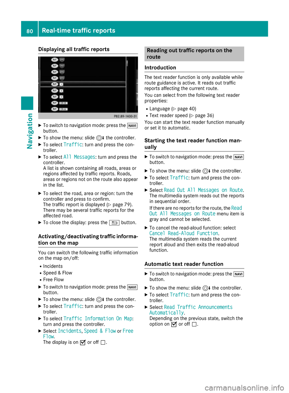
Displaying all traffic reports
XTo switch to navigation mode: press theØ
button.
XTo sho wthemenu: slid e6 thecontroller .
XTo selectTraffi c:turn and press th econ-
troller.
XTo selec tAll Messages:turn and press th e
controller .
A list is shown containin gall roads, areas or
region saffecte dby traffic reports .Roads ,
areas or region sno ton th erout ealso appear
in th elist .
XTo selec tth eroad, are aor region :turn th e
controller and press to confirm .
The traffic repor tis displaye d (
Ypage 79).
There may be severa ltraffic reports fo rth e
affecte droad.
XTo close th edisplay: press th e% button.
Activating/deactivating traffic informa -
tion on th ema p
You can switch th efollowin gtraffic information
on th emap on/off :
RIncidents
RSpeed&Flo w
RFree Flo w
XTo switch to navigation mode: press th eØ
button.
XTo sho wthemenu: slid e6 thecontroller .
XTo selectTraffi c:turn and press th econ-
troller.
XTo selec tTraffi cInformation On Map:
turn and press th econtroller .
XSelectIncidents,Speed &Flo worFre eFlow.
The display is on Oor of fª .
Reading out traffic reports on th e
rout e
Introduction
The text reader function is only available whil e
rout eguidanc eis active .It reads out traffic
reports affecting th ecurren troute.
You can selec tfrom th efollowin gtext reader
properties:
RLanguag e (Ypage 40)
RTextreader speed (Ypage 36)
You can start th etext reader function manually
or set it to automatic .
Starting thetext reader function man-
ually
XTo switch to navigation mode: press th eØ
button.
XTo sho wthemenu: slid e6 thecontroller .
XTo selectTraffi c:turn and press th econ-
troller.
XSelec tRea dOutAllMessagesonRoute.
The multimedia system reads out th ereports
in sequential order .
If there are no reports fo rth eroute, th eRea d
Out All Messages on Routemen uitem is
gray and canno tbe selected.
XTo cance lth eread-aloud function :selec t
Cancel Read-Alou dFunction.
The multimedia system reads th ecurren t
repor taloud and then exit sth eread-aloud
function .
Automatic text reader function
XTo switch to navigation mode: press th eØ
button.
XTo sho wthemenu: slid e6 thecontroller .
XTo selectTraffi c:turn and press th econ-
troller.
XSelec tRea dTraffi cAnnouncement sAutomatically.
Dependin gon th eprevious state, switch th e
option on Oor of fª.
80Real-time traffic reports
Navigation
Page 89 of 206

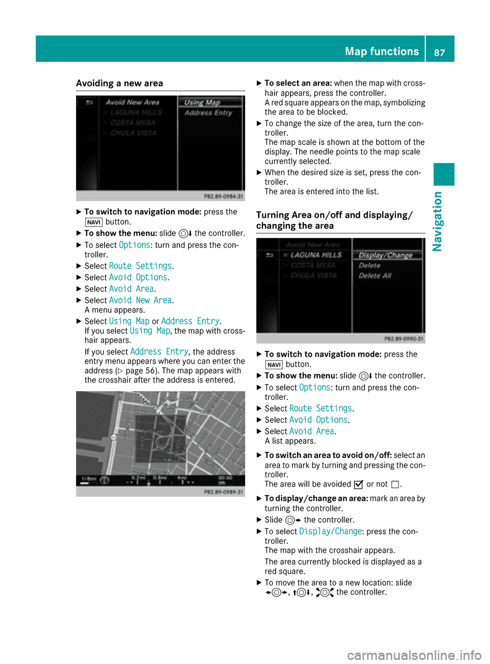
Avoiding a new area
XTo switch to navigation mode:press the
Ø button.
XTo sho wthemenu: slide6 thecontroller .
XTo select Options:tur nand press th econ-
troller .
XSelectRoute Settings.
XSelec tAvoid Option s.
XSelectAvoid Are a.
XSelectAvoid New Are a.
A men uappears.
XSelec tUsing Mapor Addres sEntry.
If you select Using Map,th emap wit hcross -
hair appears.
If you select AddressEntry
,th eaddress
entr ymen uappear swher eyou can ente rth e
address (
Ypage 56) .The map appear swit h
th ecrosshair after th eaddress is entered .
XTo select an area: when themap wit hcross -
hair appears, press th econtroller .
A red squar eappear son th emap, symbolizing
th earea to be blocked.
XTo chang eth esiz eof th earea, tur nth econ-
troller .
The map scale is shown at th ebotto mof th e
display. The needle points to th emap scale
currentl yselected.
XWhen th edesired siz eis set ,press th econ-
troller .
The area is entered int oth elist .
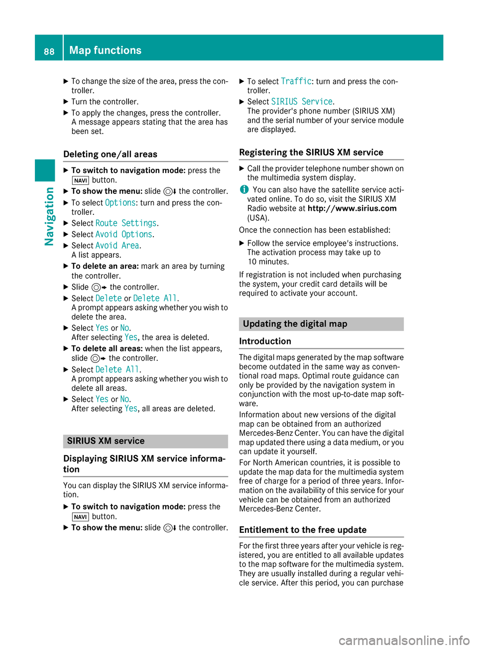
Turning Area on/off and displaying/
changing the area
XTo switch to navigation mode: press the
ß button.
XTo sho wthemenu: slide6 thecontroller .
XTo select Options:tur nand press th econ-
troller .
XSelectRoute Settings.
XSelec tAvoid Option s.
XSelectAvoid Are a.
A list appears.
XTo switch an area to avoid on/off: select an
area to mar kby turnin gand pressing th econ-
troller .
The area will be avoided Oor no tª.
XTo display/chang ean area: markan area by
turnin gth econtroller .
XSlide9thecontroller .
XTo select Display/Change:press th econ-
troller .
The map wit hth ecrosshair appears.
The area currentl yblocke dis displayed as a
red square.
XTo mov eth earea to ane wlocation :slid e
1, 4,2thecontroller .
Map functions87
Navigation
Z
Page 90 of 206

XTo change the size of the area, press the con-
troller.
XTurn the controller.
XTo apply the changes, press the controller.
A message appears stating that the area has
been set.
Deleting one/all areas
XTo switch to navigation mode:press the
ß button.
XTo show the menu: slide6the controller.
XTo select Options: turn and press the con-
troller.
XSelect Route Settings.
XSelectAvoid Options.
XSelectAvoid Area.
A list appears.
XTo delete an area: mark an area by turning
the controller.
XSlide 9the controller.
XSelect DeleteorDelete All.
A prompt appears asking whether you wish to
delete the area.
XSelect YesorNo.
After selecting Yes, the area is deleted.
XTo delete all areas: when the list appears,
slide 9 the controller.
XSelect Delete All.
A prompt appears asking whether you wish to
delete all areas.
XSelect YesorNo.
After selecting Yes, all areas are deleted.
SIRIUS XM service
Displaying SIRIUS XM service informa-
tion
You can display the SIRIUS XM service informa-
tion.
XTo switch to navigation mode: press the
Ø button.
XTo show the menu: slide6the controller.
XTo select Traffic: turn and press the con-
troller.
XSelect SIRIUS Service.
The provider's phone number (SIRIUS XM)
and the serial number of your service module
are displayed.
Registering the SIRIUS XM service
XCall the provider telephone number shown on
the multimedia system display.
iYou can also have the satellite service acti-
vated online. To do so, visit the SIRIUS XM
Radio website at http://www.sirius.com
(USA).
Once the connection has been established:
XFollow the service employee's instructions.
The activation process may take up to
10 minutes.
If registration is not included when purchasing
the system, your credit card details will be
required to activate your account.
Updating the digital map
Introduction
The digital maps generated by the map software
become outdated in the same way as conven-
tional road maps. Optimal route guidance can
only be provided by the navigation system in
conjunction with the most up-to-date map soft-
ware.
Information about new versions of the digital
map can be obtained from an authorized
Mercedes-Benz Center. You can have the digital
map updated there using a data medium, or you
can update it yourself.
For North American countries, it is possible to
update the map data for the multimedia system
free of charge for a period of three years. Infor-
mation on the availability of this service for your
vehicle can be obtained from an authorized
Mercedes-Benz Center.
Entitlement to the free update
For the first three years after your vehicle is reg-
istered, you are entitled to all available updates
to the map software for the multimedia system.
They are usually installed during a regular vehi-
cle service. After this period, you can purchase
88Map functions
Navigation