●If you notice any foreign objects in
the system hardware, spill liquid on
the system or notice smoke or a
smell coming from it, stop using the
system immediately and contact a
NISSAN dealer. Ignoring such condi-
tions may lead to accidents, fire or
electrical shock.
CAUTION
●Do not use this system if you notice
any malfunctions such as a frozen
screen or the lack of sound. Contin-
ued use of the system may result in
accidents, fire or electrical shock.
● Some states/provinces may have
laws limiting the use of video
screens while driving. Use this sys-
tem only where it is legal to do so.
● Extreme temperature conditions [be-
low -4 °F (-20 °C) and above 158 °F
(70 °C)] could affect the performance
of the system.
NOTE:
Do not keep the navigation system running
with the engine stopped. Doing so may
discharge the vehicle battery. When you
use the navigation system, always keep
the engine running.mWARNING
● Do not disassemble or modify this
system. There are no user service-
able parts in this navigation system.
● If maintenance, adjustments and op-
erations other than those specified
in this manual are attempted, injury
due to laser radiation and exposure
could occur.
Required XM Radio�
and NavTraffic�
monthly subscriptions
sold separately. XM
NavTraffic� only
available in select
markets. For more
information, see
www.xmradio.com/
navtraffic.
LASER PRODUCT
Introduction1-3
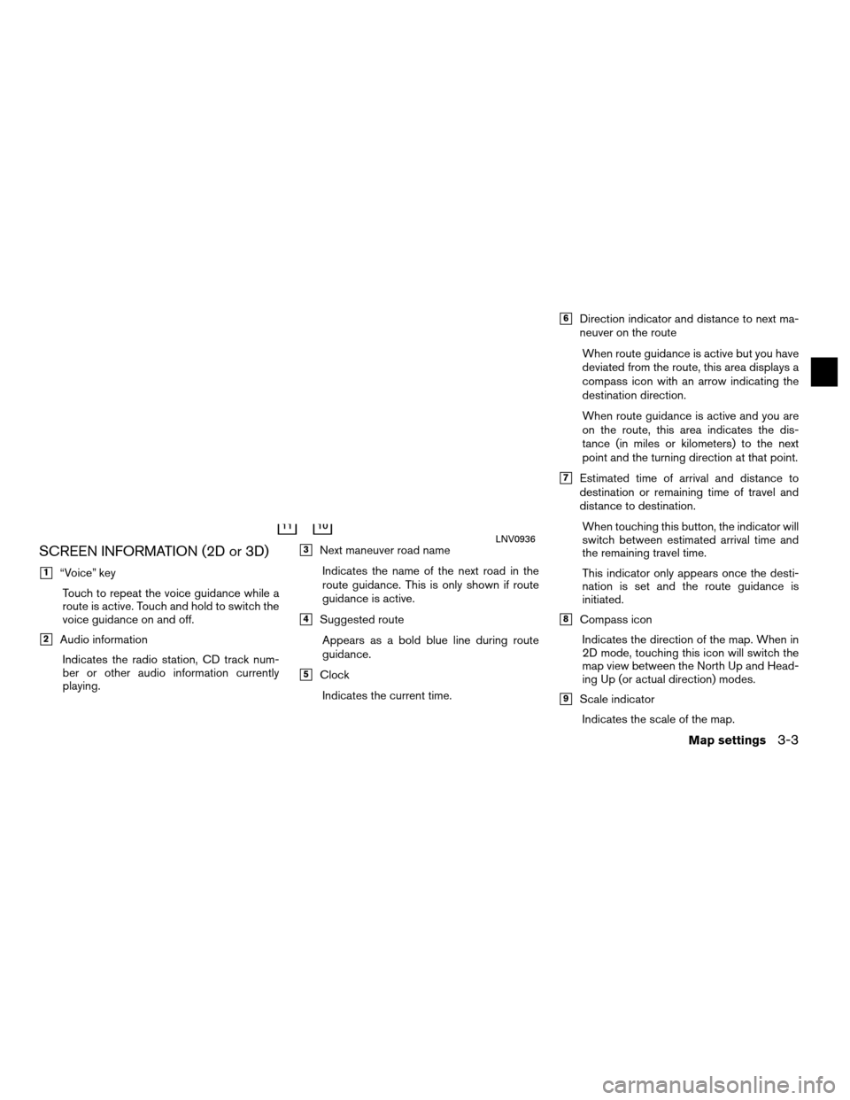
SCREEN INFORMATION (2D or 3D)
�1“Voice” keyTouch to repeat the voice guidance while a
route is active. Touch and hold to switch the
voice guidance on and off.
�2Audio informationIndicates the radio station, CD track num-
ber or other audio information currently
playing.
�3Next maneuver road name
Indicates the name of the next road in the
route guidance. This is only shown if route
guidance is active.
�4Suggested routeAppears as a bold blue line during route
guidance.
�5ClockIndicates the current time.
�6Direction indicator and distance to next ma-
neuver on the route When route guidance is active but you have
deviated from the route, this area displays a
compass icon with an arrow indicating the
destination direction.
When route guidance is active and you are
on the route, this area indicates the dis-
tance (in miles or kilometers) to the next
point and the turning direction at that point.
�7Estimated time of arrival and distance to
destination or remaining time of travel and
distance to destination.When touching this button, the indicator will
switch between estimated arrival time and
the remaining travel time.
This indicator only appears once the desti-
nation is set and the route guidance is
initiated.
�8Compass iconIndicates the direction of the map. When in
2D mode, touching this icon will switch the
map view between the North Up and Head-
ing Up (or actual direction) modes.
�9Scale indicatorIndicates the scale of the map.
LNV0936
Map settings3-3
DISPLAY OF CURRENT VEHICLE
LOCATION
This navigation system combines the data ob-
tained from the vehicle (by gyro sensor) and from
GPS (Global Positioning System) satellites to
calculate the current location of the vehicle. This
position is then displayed throughout route guid-
ance to a destination.
WHAT IS GPS (Global Positioning
System)?
GPS is a position detecting system that uses
satellites deployed by the U.S. government. This
navigation system receives radio signals from
three or more different satellites that orbit
13,049 miles (21,000 km) above the earth in
space, and detects the position of the vehicle by
utilizing the principle of triangulation.
DETAILED MAP COVERAGE (MCA)
FOR THE NAVIGATION SYSTEM
This system is designed to help you reach your
destination, and also performs other functions as
outlined in this manual. However, you, the driver,
must use the system safely and properly. Infor-
mation concerning road conditions, traffic signs
and the availability of services may not always be
up-to-date. The system is not a substitute for
safe, proper, and legal driving.Map data is available on the provided SD-card.
For information about the map SD-card, contact
a NISSAN dealer.
Map data includes 2 types of areas: “Detailed
coverage areas” providing all detailed road data
and other areas showing “Main roads only”.
NOTE:
Detailed map data is not available in many
areas and is generally limited to select ma-
jor metropolitan areas.
WHEN A GRAY ROAD IS DIS-
PLAYED ON THE MAP
● Route calculation may not be possible when a
destination or the current vehicle location is
near a gray road.
● Route guidance (enlarged view and voice
guidance) may not be done at the intersection
where the road your vehicle is driving on and a
gray road intersect.
● Places information and street names near
gray roads are not contained in the map data. ●
The NISSAN Navigation System may not cal-
culate a route if the current vehicle location is
too far away from the destination. In this case,
please divide your trip by selecting one or two
intermediate destinations.
● To reach your destination, refer to the map
screen. Always follow actual roads and regu-
lations and drive safely.
● The suggested route may not be the shortest,
nor are other circumstances such as traffic
jams considered unless the XM NavTraffic� is
active.
● Because of the inevitable difference in road
conditions and circumstances between the
time you use this system and the time the in-
formation was produced for the map data,
there may be discrepancies in roads and
regulations. In such cases, follow the actual
information available.
● During route calculation, the map will not
scroll, however the vehicle icon will move with
the actual vehicle’s movement.
● In some cases, after the calculation is
complete, the calculated route may not be im-
mediately displayed.
● If you scroll the map while the suggested
route is being drawn, it may take more time to
finish drawing.
CURRENT VEHICLE LOCATION ROUTE CALCULATION
6-4General system information

 and from
GPS (Global Positioning System) satellites to
calculate the current l")