Page 54 of 238
MAP SCROLLING INFORMATION
Information about the location, on which the cen-
ter of the cross pointer is placed by scrolling on
the map, can be set to be displayed.
1. Press the SETUP button.
2. Touch the “Navigation” key. 3. Touch the “Map Scrolling Information” key
(you might need to scroll down the list to
find the right key) .
LNV0133LNV0134
Map settings3-9
�REVIEW COPY—2009 Altima(alt)
Navigation System OM—USA_English(nna)
05/22/08—debbie
�
Page 55 of 238
4. Touch the preferred information key. The in-
dicator of the selected information item
illuminates.
Available information items:
●Address Book Icons
●Destination/Waypoint Icons
●Latitude/Longitude Information5. Press the MAP button to return to the cur-
rent location map screen.
Move the cross pointer to the set location to
display the information.LNV0135LNV0136
3-10Map settings
�REVIEW COPY—2009 Altima(alt)
Navigation System OM—USA_English(nna)
05/22/08—debbie
�
Page 57 of 238
Scale level of the Plan View display
Map scale Actual distance
1:51.2 million 400 miles (640 km)
1:5.12 million 32 miles (64 km)
1:1.28 million 8 miles (16 km)
1:320,000 2 miles (4 km)
1:160,000 1 mile (2 km)
1:80,000 1/2 mile (1 km)
1:40,000 1/4 mile (500 m)
1:20,000 1/8 mile (200 m)
1:10,000 1/16 mile (100 m)
1:5,000 1/32 mile (50 m)
Example: The most detailed levelLNV0138Example: The widest levelLNV0137Example: The most detailed levelLNV0140
3-12Map settings
�REVIEW COPY—2009 Altima(alt)
Navigation System OM—USA_English(nna)
05/22/08—debbie
�
Page 58 of 238

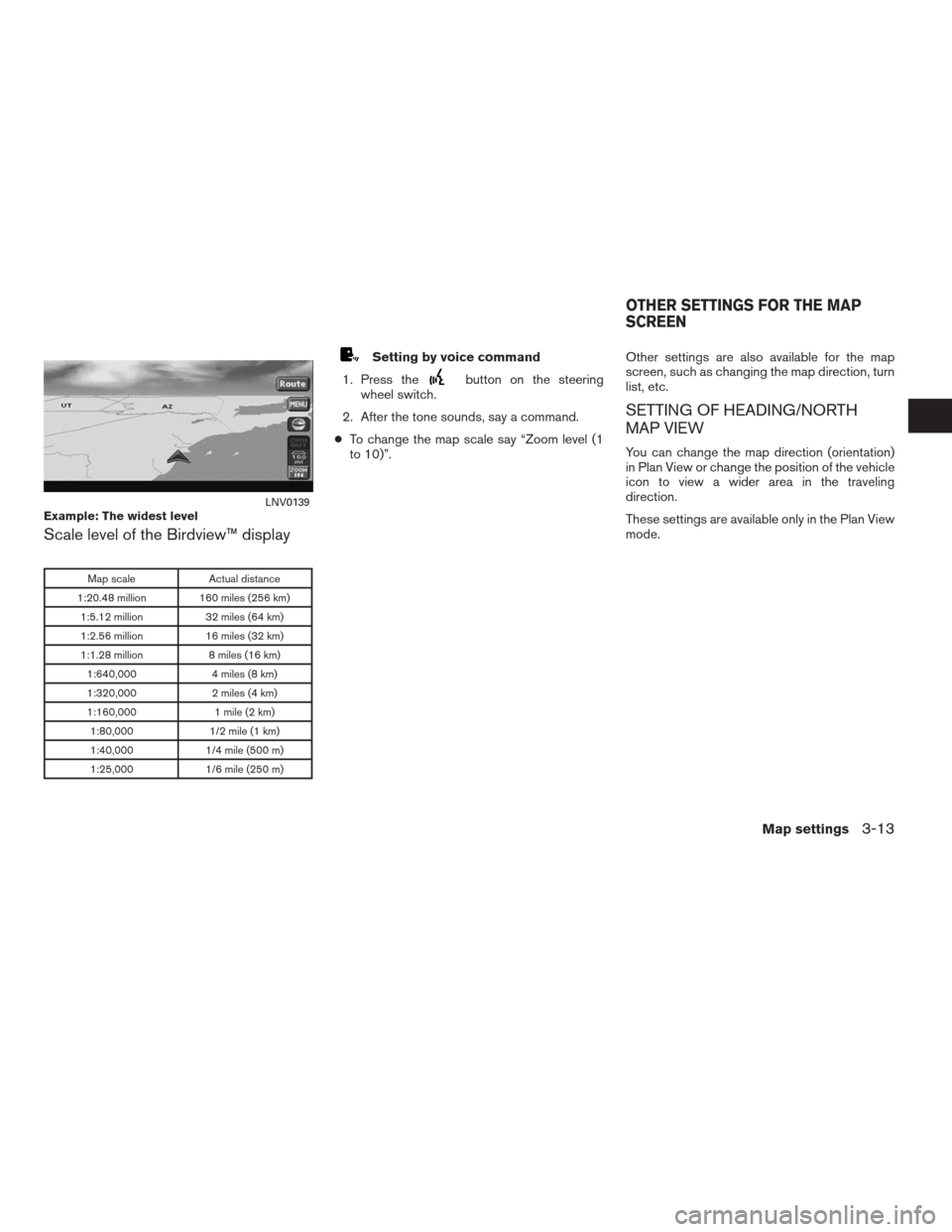
Scale level of the Birdview™ display
Map scale Actual distance
1:20.48 million 160 miles (256 km)
1:5.12 million 32 miles (64 km)
1:2.56 million 16 miles (32 km)
1:1.28 million 8 miles (16 km)
1:640,000 4 miles (8 km)
1:320,000 2 miles (4 km)
1:160,000 1 mile (2 km)
1:80,000 1/2 mile (1 km)
1:40,000 1/4 mile (500 m)
1:25,000 1/6 mile (250 m)
Setting by voice command
1. Press the
button on the steering
wheel switch.
2. After the tone sounds, say a command.
●To change the map scale say “Zoom level (1
to 10)”.Other settings are also available for the map
screen, such as changing the map direction, turn
list, etc.
SETTING OF HEADING/NORTH
MAP VIEW
You can change the map direction (orientation)
in Plan View or change the position of the vehicle
icon to view a wider area in the traveling
direction.
These settings are available only in the Plan View
mode.
Example: The widest levelLNV0139
OTHER SETTINGS FOR THE MAP
SCREEN
Map settings3-13
�REVIEW COPY—2009 Altima(alt)
Navigation System OM—USA_English(nna)
05/22/08—debbie
�
Page 61 of 238
Some landmarks in the surrounding area can be
displayed as icons on the screen.
DISPLAYING LANDMARK ICONS
This allows you to display or hide the landmark
icons by type.
Landmark icons that can be displayed:
●Restaurant
●Gas station
●Hotel
●AT M
●Rest area1. Touch the “MENU” key while the current lo-
cation map screen is displayed.2. Touch the “Landmark Icons” key.
LNV0130LNV0145
MAP ICONS
3-16Map settings
�REVIEW COPY—2009 Altima(alt)
Navigation System OM—USA_English(nna)
05/22/08—debbie
�
Page 62 of 238
3. Touch the preferred icon by touching the
“ON” key.
The icon display setting toggles on and off
each time you touch the “ON” key. The indi-
cator of the selected icon illuminates.4. Press the MAP button or the “Back” key.
The activated landmark icons are displayed
on the map.INFO:
You can also set the landmark icons using the
following procedure.
1. Press the SETUP button.
2. Touch the “Navigation” key.
3. Touch the “Landmark Icons” key.
MAP SYMBOLS
The navigation system uses symbols to display
facilities.
LNV0146LNV0147LNV0148
Map settings3-17
�REVIEW COPY—2009 Altima(alt)
Navigation System OM—USA_English(nna)
05/22/08—debbie
�
Page 65 of 238
Road color
The road types are differentiated by colors.
Freeway: Red
Main road: Yellow
Narrow street: Gray
Road with incomplete map data: Green
XM�NAVTRAFFIC™ SYMBOLS
When displaying the map with a subscription to
XM�NavTraffic™ service, the following traffic in-
formation might be displayed:
●Colored road meanings:
– Green: Light traffic.
– Yellow: Heavy traffic and moving at ap-
proximately 21 MPH (34 km) to 44 MPH
(71 km) .
– Red: Traffic jam or accident and moving
at approximately 20 MPH (30 km) to 0
MPH (0 km) .
– Purple: Road closed.●Road symbol meanings:
: Accident
: Closed Road
: Information
: Road Work
: Slippery Road
: Weather
: Incident
3-20Map settings
�REVIEW COPY—2009 Altima(alt)
Navigation System OM—USA_English(nna)
05/22/08—debbie
�
Page 69 of 238
CHANGING/SETTING A REGION
1. Touch the “Change Region” key.
2. Touch one of the region keys.
The indicator of the selected region
illuminates.
3. Touch the “OK” or the “Back” key to set the
change.
INFO:
The Change Region key will update to display
your chosen region.
SETTING A STREET ADDRESS
1. Touch the “Street Address” key.
A character input screen is displayed.
LNV0159LNV0151
4-4Setting a destination
�REVIEW COPY—2009 Altima(alt)
Navigation System OM—USA_English(nna)
05/22/08—debbie
�