Page 65 of 128

55
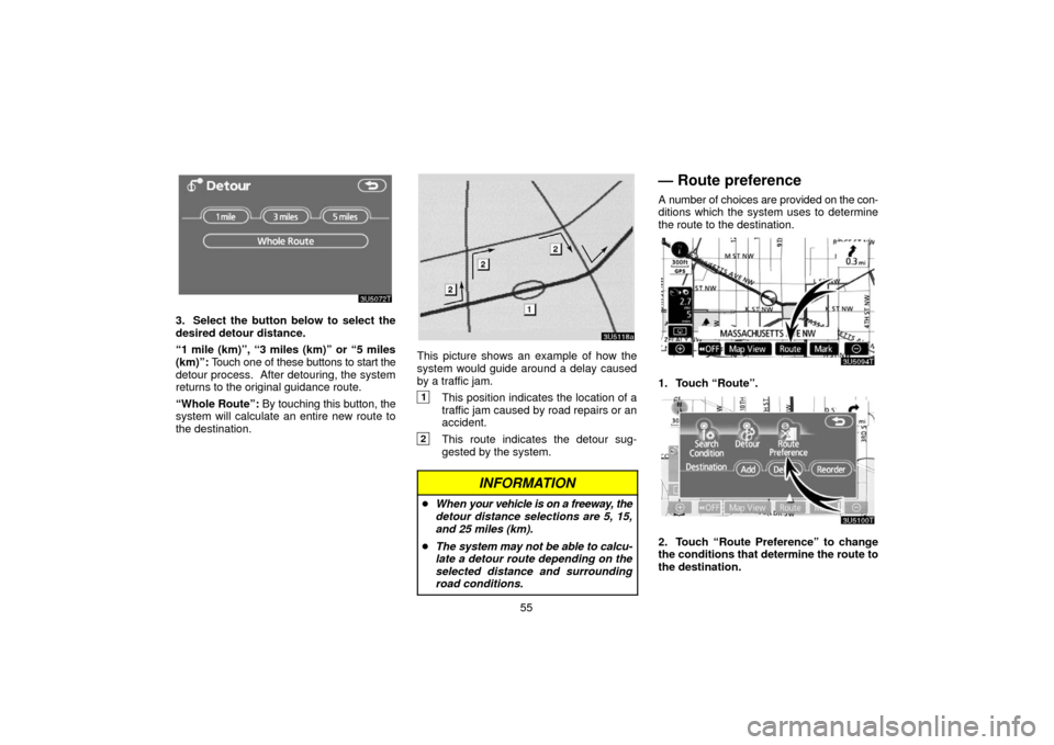
3. Select the button below to select the
desired detour distance.
“1 mile (km)”, “3 miles (km)” or “5 miles
(km)”: Touch one of these buttons to start the
detour process. After detouring, the system
returns to the original guidance route.
“Whole Route”: By touching this button, the
system will calculate an entire new route to
the destination.
This picture shows an example of how the
system would guide around a delay caused
by a traffic jam.
1This position indicates the location of a
traffic jam caused by road repairs or an
accident.
2This route indicates the detour sug-
gested by the system.
INFORMATION
When your vehicle is on a freeway, the
detour distance selections are 5, 15,
and 25 miles (km).
The system may not be able to calcu-
late a detour route depending on the
selected distance and surrounding
road conditions.
— Route preference
A number of choices are provided on the con-
ditions which the system uses to determine
the route to the destination.
1. Touch “Route”.
2. Touch “Route Preference” to change
the conditions that determine the route to
the destination.
Page 66 of 128
56
3. Select the desired route preference by
touching the button.
When searching for a route, the system will
avoid routes when the indicator is off.
4. After choosing the desired route pref-
erence, touch “OK”.
— Starting route from
adjacent road
You can start the route guidance from the ad-
jacent road.
(ex. When route guidance is set on the free-
way, but the vehicle is driven parallel along
the freeway.)
1. Touch “Route”.
2. Touch “Start from Adjacent Road”.
When there is no adjacent road, this button
will not be displayed.
Page 67 of 128

57
Map view —
— Display POI icons
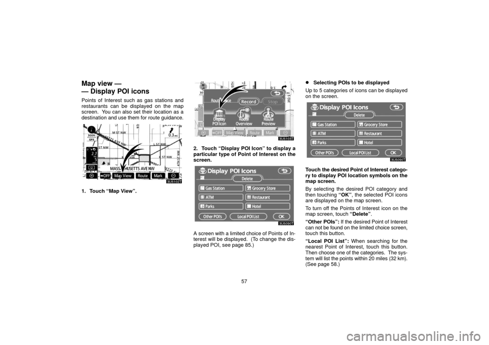
Points of Interest such as gas stations and
restaurants can be displayed on the map
screen. You can also set their location as a
destination and use them for route guidance.
1. Touch “Map View”.
2. Touch “Display POI Icon” to display a
particular type of Point of Interest on the
screen.
A screen with a limited choice of Points of In-
terest will be displayed. (To change the dis-
played POI, see page 85.)
Selecting POIs to be displayed
Up to 5 categories of icons can be displayed
on the screen.
Touch the desired Point of Interest catego-
ry to display POI location symbols on the
map screen.
By selecting the desired POI category and
then touching “OK”, the selected POI icons
are displayed on the map screen.
To turn off the Points of Interest icon on the
map screen, touch “Delete”.
“Other POIs”: If the desired Point of Interest
can not be found on the limited choice screen,
touch this button.
“Local POI List”: When searching for the
nearest Point of Interest, touch this button.
Then choose one of the categories. The sys-
tem will list the points within 20 miles (32 km).
(See page 58.)
Page 68 of 128

58
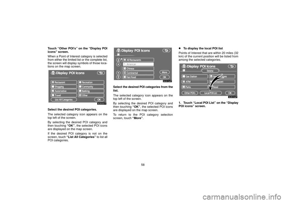
Touch “Other POI’s” on the “Display POI
icons” screen.
When a Point of Interest
category is selected
from either the limited list or the complete list,
the screen will display symbols of those loca-
tions on the map screen.
Select the desired POI categories.
The selected category icon appears on the
top left of the screen.
By selecting the desired POI category and
then touching “OK”, the selected POI icons
are displayed on the map screen.
If the desired POI category is not on the
screen, touch “List All Categories” to list all
POI categories.
Select the desired POI categories from the
list.
The selected category icon appears on the
top left of the screen.
By selecting the desired POI category and
then touching “OK”, the selected POI icons
are displayed on the map screen.
To return to the POI category selection
screen, touch “More”.
To display the local POI list
Points of Interest that are within 20 miles (32
km) of the current position will be listed from
among the selected categories.
1. Touch “Local POI List” on the “Display
POI icons” screen.
Page 69 of 128

59
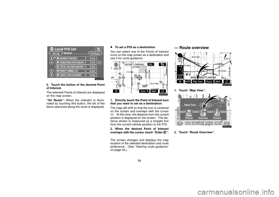
2. Touch the button of the desired Point
of Interest.
The selected Points of Interest are displayed
on the map screen.
“On Route”: When the indicator is illumi-
nated by touching this button, the list of the
items searched along the route is displayed.
To set a POI as a destination
You can select one of the Points of Interest
icons on the map screen as a destination and
use it for route guidance.
1. Directly touch the Point of Interest icon
that you want to set as a destination.
The map will shift so that the icon is centered
on the screen and overlaps with the cursor
. At this time, the distance from the current
position is displayed on the screen. The dis-
tance shown is measured as a straight line
from the current vehicle position to the POI.
2. When the desired Point of Interest
overlaps with the cursor, touch “Enter
”.
The screen changes and displays the map
location of the selected destination and route
preference. (See
“Starting route guidance”
on page 40.)
— Route overview
1. Touch “Map View”.
2. Touch “Route Overview”.
Page 70 of 128
60
The entire route from the current position to
the destination is displayed.
“Guide”: To start guidance.
“Route”: To change the route. (See pages
51 and 54.)
“Turn List”: The following screen displays
the list of the roads up to the destination.You can scroll through the list of roads by
touching
or . However, not all road
names in the route may appear on the list. If
a road changes its name without requiring a
turn (such as on a street that runs through two
or more cities), the name change will not ap-
pear on the list. The street names will be dis-
played in order from the starting point, along
with the distance to the next turn.
These marks indicate the
direction in which you should
turn at an intersection.
Touch “Map” on the “Turn List” screen.
The point which you choose is displayed on
the map screen.
Page 71 of 128
61
— Route preview
1. Touch “Map View”.
2. Touch “Route Preview”.
:To indicate the next destination.
:To preview the route to the next des-
tination.
: To preview the route to the next des-
tination in fast −forward mode.
: To stop the preview.
:To review the route to the previous
destination or starting point.
: To review the route to the previous
destination or starting point in fast −
forward mode.
: To indicate the previous destination
or starting point.
— Route trace
It is possible to store the traveled route up to
124 miles (200 km) and retrace the route on
the display.
INFORMATION
This feature is available on the map with
more detailed map scale than 30 mile (50
km).
Touch “Map View”.
Page 72 of 128
62
“Record”: To start recording the route trace.
“Stop”: To stop recording the route trace.
If you touch “Stop” to display the following
screen.
Touching “Yes” stops recording and the
route trace remains displayed on the screen.
Touching “No” stops recording and the route
trace is erased.