128 NavigationDestination inputSelecting the area of the destination
Towns of the same name are distinguished
by the area in which they are located. After
you have entered the place, a list of areas
may appear. The status bar indicates the
number of areas available, for example: Town
found
[number]
.
�
Press G or g to select an area.
�
Press E.
�
You can now enter a street
(�page 129).Selecting a city center
After you have entered the city, you can
select a center (district).
�
Press the
CityCtr
soft key.
�
Press g or G to select a center.
�
Press E.
The Route Guidance menu will appear
(�page 139).In addition to the center selection you can
use the following soft keys to determine
your destination:
�
Map
soft key:
Brings you to the destination input
directly above the map (
�page 135).
�
POIs
soft key:
Entering Points of Interest
(
�page 160).
139 Navigation
Route guidance
� Route guidance
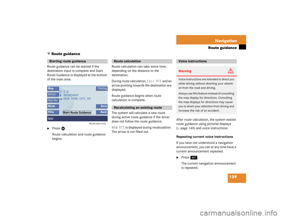
Route guidance can be started if the
destination input is complete and Start
Route Guidance is displayed at the bottom
of the main area. �
Press E.
Route calculation and route guidance
begins. Route calculation can take some time,
depending on the distance to the
destination.
During route calculation,
CALC RTE
and an
arrow pointing towards the destination are
displayed.
Route guidance begins when route
calculation is complete.
The system will calculate a new route
during active route guidance if the driver
does not follow the route guidance.
NEW RTE
is displayed during recalculation.
The arrow is not filled out.After route calculation, the system assists
route guidance using pictorial displays
(
�page 140) and voice instructions.
Repeating current voice instructions
If you have not understood a navigation
announcement, you can at any time have a
current announcement repeated.
�
Press j.
The current navigation announcement
is repeated.
Starting route guidance
Route calculationRecalculating an existing route
Voice instructionsWarning
G
Voice instructions are intended to direct you
while driving without diverting your attenti-
on from the road and driving.
Always use this feature instead of consulting
the map display for directions. Consulting
the map displays for directions may cause
you to divert your attention from driving and
increase the risk of an accident.
205 Glossary
Audio source
This includes the systems radio, CD
(CD drive in the control unit, CD chan-
ger*), MP3-CD and DVD (only audible).
Balance
Defines sound-center left/right.
Bird’s-eye view
The map is shown in three dimensions
with sky and horizon.
COMAND
(Co
ckpit Man
agement and D
ata Sys-
tem)
Information and operating center for
vehicle sound and communications
systems, including the radio and
CD/DVD player, as well as for other op-
tional equipment (CD changer*, tele-
phone*, etc.).DVD
(D
igital V
ersatile D
isc)
Digital storage medium for storing lar-
ge amounts of data.
Emergency call
This function places a call to a local
911 provider. It does not initiate a
->Tele Aid* call. Please note that the
911 emergency call system is a public
service. Using it without due cause is a
criminal offense.
Fader
Defines sound-center front/back.
GPS
(G
lobal P
ositioning S
ystem)
Satellite-based system for relaying
geographic location information to and
from vehicles equipped with special re-
ceivers. Employs DVD digital maps for
navigation.Heading Up
Dynamic map alignment, map is dis-
played facing driving direction pointing
up.
Navigation DVD
Contains all the destination addresses
(town, road, intersection, house num-
ber, special destinations) and the digi-
tal map material for a country or a
region for destination entry, route cal-
culation and destination guidance.
North Up
The map is displayed facing north du-
ring route guidance.
Provider
is the network operator who makes
available (provides) telephone services

, MP3-CD and DVD (only audible).
Balance
Defines sound-center left/right.
Bird’s-eye view")