2017 RENAULT FLUENCE navigation system
[x] Cancel search: navigation systemPage 42 of 96
GB.40
Traffic Information Service
Options
To access the Traffic Information
Service options, from the main menu
press “Services”, “Navigation Services”,
then “HD Traffic™”.
“Minimise delays”
Select this option to alter your journey
based on the latest traffic information.
“Read traffic information”
This menu enables you to activate the
audio reading of traffic information.
“Display the map”
This menu enables you to explore the
map and keep up-to-date with the traf-
fic situation in your area. To access
the map, from the main menu, select
the Traffic Information Service then
“Display map”.
The map displays the last searched lo-
cation. Press the icon for an incident to
get more detailed information.
TRAFFIC INFORMATION (1/3)
Precautions regarding
navigation
Use of the navigation
system does not in any way
replace the responsibility or vigi-
lance of the driver when driving the
vehicle.
Traffic Information
Service
Traffic information is a service available
on your navigation system which lets
you receive up-to-date traffic informa-
tion coming from the best local sources.
The “Traffic” service uses TMC informa-
tion transmitted over FM wavebands.
The “HD Traffic™” service uses LIVE
Services information.
These services show events in the form
of dots on the map.
It covers the main roads and is updated
regularly.
Note: the menu title can be “Traffic” or
“HD Traffic™”. “Traffic settings”
Select this menu to set the desired de-
fault calculation method.
“Display traffic on route”
Select this menu to see an overview of
all traffic incidents on your route. Press
the icon for an incident to get more de-
tailed information.
Page 43 of 96
GB.41
TRAFFIC INFORMATION (2/3)
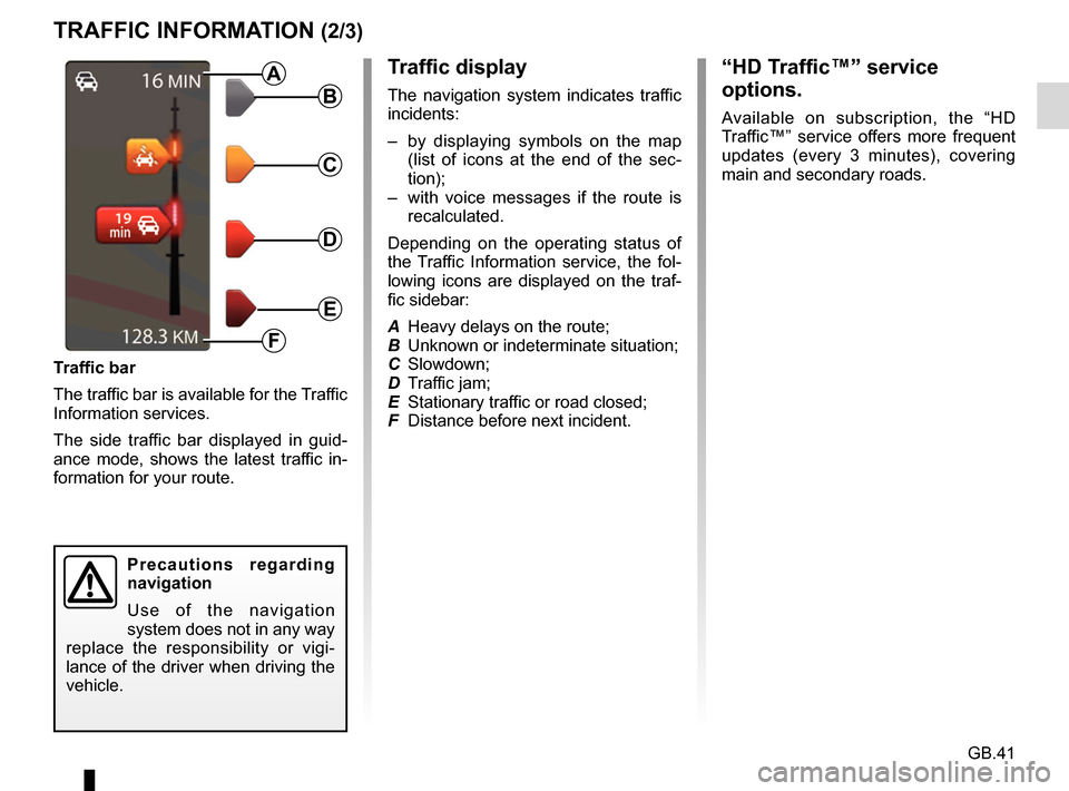
Traffic display
The navigation system indicates traffic
incidents:
– by displaying symbols on the map (list of icons at the end of the sec-
tion);
– with voice messages if the route is recalculated.
Depending on the operating status of
the Traffic Information service, the fol-
lowing icons are displayed on the traf-
fic sidebar:
A Heavy delays on the route;
B Unknown or indeterminate situation;
C Slowdown;
D Traffic jam;
E Stationary traffic or road closed;
F Distance before next incident.
Traffic bar
The traffic bar is available for the Traffic
Information services.
The side traffic bar displayed in guid-
ance mode, shows the latest traffic in-
formation for your route.B
C
D
E
F
A
Precautions regarding
navigation
Use of the navigation
system does not in any way
replace the responsibility or vigi-
lance of the driver when driving the
vehicle.
“HD Traffic™” service
options.
Available on subscription, the “HD
Traffic™” service offers more frequent
updates (every 3 minutes), covering
main and secondary roads.
Page 45 of 96
GB.43
“Use this location to...”
This menu enables the selected posi-
tion to be used to:
– centre the map on the vehicle’s loca-tion;
– navigate to a point on the map;
– search for a point on the map;
– add a point on the map to the favour- ites;
– add a point on the map to the POI;
– correct the position of your vehicle.
“Find”
This menu allows you to centre the map
on:
– your home;
– a saved address;
– an address;
– a recent destination;
– TomTom Places;
– a recharging station search;
– a point of interest;
– your position;
– latitude and longitude.
VIEW MAP
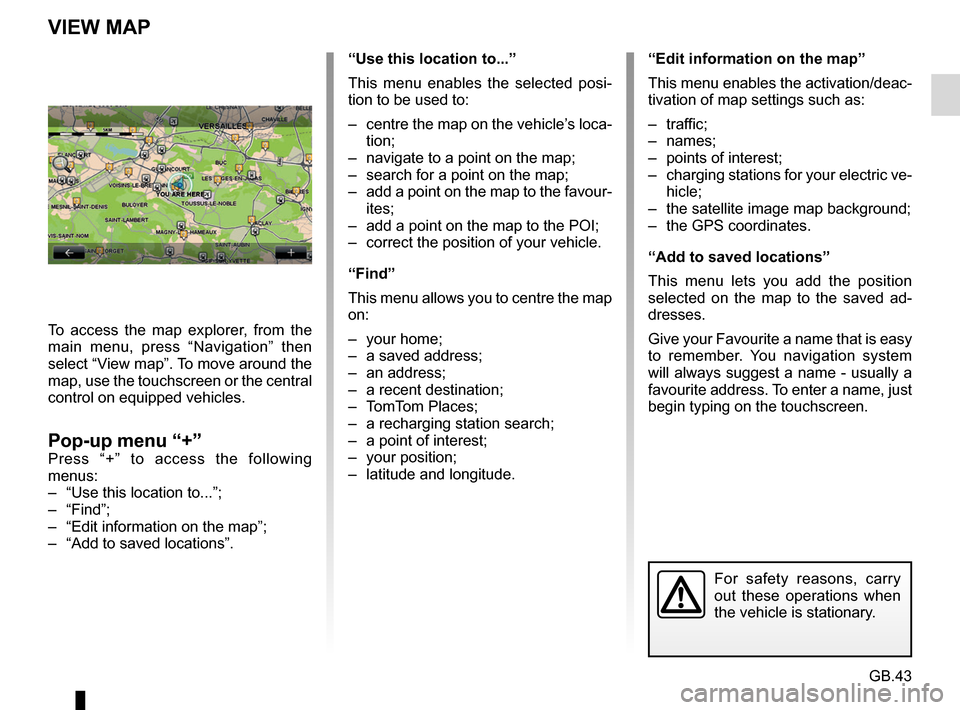
To access the map explorer, from the
main menu, press “Navigation” then
select “View map”. To move around the
map, use the touchscreen or the central
control on equipped vehicles.
Pop-up menu “+”Press “+” to access the following
menus:
– “Use this location to...”;
– “Find”;
– “Edit information on the map”;
– “Add to saved locations”.
“Edit information on the map”
This menu enables the activation/deac-
tivation of map settings such as:
– traffic;
– names;
– points of interest;
– charging stations for your electric ve- hicle;
– the satellite image map background;
– the GPS coordinates.
“Add to saved locations”
This menu lets you add the position
selected on the map to the saved ad-
dresses.
Give your Favourite a name that is easy
to remember. You navigation system
will always suggest a name - usually a
favourite address. To enter a name, just
begin typing on the touchscreen.
For safety reasons, carry
out these operations when
the vehicle is stationary.
Page 46 of 96
GB.44
Your system includes navigation ser-
vices. You can add to these services by
subscribing to paid TomTom LIVE ser-
vices.
– The navigation services include traf-fic information and the location of
fixed speed cameras, depending on
local laws.
– The LIVE services (paid, subscrip- tion) include traffic information, the
locations and updates for fixed and
mobile speed cameras, TomTom
Places and the weather.
Note: The HD Traffic™ service is called
“Traffic” if the subscription to LIVE
services is not activated.
A trial period for LIVE services is of-
fered. At the end of the trial period, you
can extend your subscription to LIVE
services on the MyRenault website.
NAVIGATION SERVICES (1/2)
A current subscription is required to
access LIVE services. The content
of LIVE Services may vary.
In certain countries it is il-
legal to download and ac-
tivate the camera warning
option and this could lead
to prosecution.
Accessing the navigation
services
To access the navigation services:
– from the main menu, press “Navigation”;
– select “Navigation services”.
HD Traffic
Please refer to the “Traffic Information”
section.
Speed Cameras
This service includes the location of
mobile safety cameras in real time, ac-
cident blackspots and fixed safety ca-
meras.
The latest updates for speed cameras
are installed automatically if a LIVE
subscription is valid.
“Speed Cameras” shows mobile speed
camera alerts as well as fixed speed
camera alerts. Information is obtained
in real time using information from other
users.
You can deactivate this function by
going to the “Speed Cameras” menu
for LIVE services.
Note: for mobile speed cameras, infor-
mation is provided when a member of
the community sends the information to
the database.
Note: depending on local restrictions,
speed cameras may not be displayed.
Page 49 of 96
GB.47
RECHARGING STATION
Saving new recharging
stations
When you recharge your vehicle at a
new recharging terminal, it will be auto-
matically saved in the system.
You can also create and manage
your own recharging stations in the
“Settings” menu, by selecting “EV set-
tings”. Please refer to the “Navigation
settings” section.
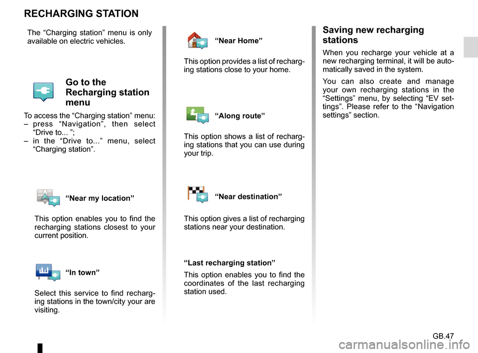
The “Charging station” menu is only
available on electric vehicles.
Go to the
Recharging station
menu
To access the “Charging station” menu:
– press “Navigation”, then select
“Drive to... ”;
– in the “Drive to...” menu, select “Charging station”.
“Near my location”
This option enables you to find the
recharging stations closest to your
current position.
“In town”
Select this service to find recharg-
ing stations in the town/city your are
visiting.
“Near Home”
This option provides a list of recharg-
ing stations close to your home.
“Along route”
This option shows a list of recharg-
ing stations that you can use during
your trip.
“Near destination”
This option gives a list of recharging
stations near your destination.
“Last recharging station”
This option enables you to find the
coordinates of the last recharging
station used.
Page 50 of 96
GB.48
RANGE
The range distance is only available for
electric vehicles.
Attainability of the
destination
The classic map display indicates
whether the battery level of your elec-
tric vehicle is sufficient to reach your
destination:
– chequered flag: the vehicle can reach your destination at the current
battery level;
– chequered flag with lightning symbol on red background: look for a re-
charging station to avoid running out
of power.
Low battery warning
When the charge level reaches the
minimum alert level on the instrument
panel, the system automatically pro-
poses a list of recharging stations near
your current location.
Deactivating the low battery
warning
This option enables you to deactivate
the automatic proposal of recharging
stations when the battery level is low:
– from the “Navigation” menu, select “Settings” then “EV settings”.
– select the “Disable low battery warn- ing” option.
Select this option again to reactivate
the low battery alert.
Note: if the ongoing guidance is indi-
cating an attainable charging point, the
low battery alert will not be triggered.
Range view
– In guidance mode, from the route summary screen: you can see the
route portions (zones) that are at-
tainable (in green) and non-attaina-
ble (in red);
– when not in guidance mode, from the “attainable zone” main menu: your
range distance is shown as a radi-
ous around your vehicle’s current
position.
Page 51 of 96
GB.49
ADDING, MANAGING SAVED ADDRESSES
Save an address from a
recent destination
– In the “Drive to...” menu, select “Recent destinations”;
– select the recent destination you wish to save;
– on the screen/map, press “ +” then
“Add to saved locations”;
– give a name to an address, then press “Next”;
– If the “Home” address is not regis- tered, the system asks if the saved
address is your home, select “Yes”
or “No”. A message confirms that the
address has been saved.
– If the “Home” address is registered, the system offers to select this ad-
dress.
Renaming a saved address
– From the main menu, press “Navigation” then “Settings” then
“Manage saved locations”;
– select an address saved in the memory that you wish to remember;
– on the screen/map, press “Rename”;
– enter the new name for the saved address, then press “Next” to con-
firm.
Deleting a saved address
– From the “Manage saved locations” menu, select the saved address you
wish to delete;
– on the screen/map, press “Delete”;
– a message asks you to confirm the deletion - press “Yes” to confirm or
“No” to cancel.
Accessing saved
addresses
To access saved addresses, from the
main menu press “Navigation”, then
“Drive to...”, then “Saved locations”.
Page 52 of 96
GB.50
NAVIGATION SETTINGS (1/2)
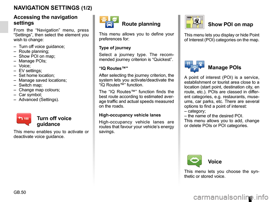
Accessing the navigation
settings
From the “Navigation” menu, press
“Settings”, then select the element you
wish to change:
– Turn off voice guidance;
– Route planning;
– Show POI on map;
– Manage POIs;
– Voice;
– EV settings;
– Set home location;
– Manage saved locations;
– Switch map;
– Change map colours;
– Car symbol;
– Advanced (Settings).
Turn off voice
guidance
This menu enables you to activate or
deactivate voice guidance.
Route planning
This menu allows you to define your
preferences for:
Type of journey
Select a journey type. The recom-
mended journey criterion is “Quickest”.
“IQ Routes™"
After selecting the journey criterion, the
system lets you activate/deactivate the
“IQ Routes™” function.
The “IQ Routes™” function finds the
best route according to estimated aver-
age traffic and actual speeds measured
on the roads.
High-occupancy vehicle lanes
High-occupancy vehicle lanes are
routes that favour your vehicle’s energy
savings.
Show POI on map
This menu lets you display or hide Point
of Interest (POI) categories on the map.
Manage POIs
A point of interest (POI) is a service,
establishment or tourist area close to a
location (start point, destination city, en
route, etc.). POIs are classed in differ-
ent categories, e.g. restaurants, muse-
ums, car parks, etc. There are several
options to find a point of interest:
– category;
– the name of the desired POI.
This menu allows you to add, change
or delete POIs or POI categories.
Voice
This menu lets you choose the syn-
thetic or stored voice.