2017 Lexus IS200t change time
[x] Cancel search: change timePage 2 of 342
2
IS_NAVI_EE
This manual explains the operation of the system. Please read this manual carefully to
ensure proper use. Keep this manual in your vehicle at all times.
The screen shots in this document and the actual screens of the system differ depend-
ing on whether the functions and/or a contract existed and the map data available at
the time of producing this document.
In some situations when changing between screens, it may take longer than normal for
the screen to change, the screen may be blank momentarily or noise may be displayed.
Please be aware that the content of this manual may be different from the system in
some cases, such as when the system’s software is updated.
The Navigation System is one of the most technologically advanced vehicle accesso-
ries ever developed. The system receives satellite signals from the Global Positioning
System (GPS) operated by the U.S. Department of Defense. Using these signals and
other vehicle sensors, the system indicates your present position and assists in locating
a desired destination.
The navigation system is designed to select efficient routes from your present starting
location to your destination. The system is also designed to direct you to a destination
that is unfamiliar to you in an efficient manner. Map database is made based on AISIN
AW maps, whose information source comes from HERE maps. The calculated routes
may not be the shortest nor the least traffi c congested. Your own personal local knowl-
edge or “short cut” may at times be faster than the calculated routes.
The navigation system’s database includes Point of Interest categories to allow you to
easily select destinations such as restaurants and hotels. If a destination is not in the da-
tabase, you can enter the street address or a major intersection close to it and the sys-
tem will guide you there.
The system will provide both a visual map and audio instructions. The audio instructions
will announce the distance remaining and the direction to turn when approaching an
intersection. These voice instructions will help you keep your eyes on the road and are
timed to provide enough time to allow you to maneuver, change lanes or slow down.
Please be aware that all current vehicle navigation systems have certain limitations that
may affect their ability to perform properly. The accuracy of the vehicle’s position de-
pends on satellite conditions, road configur ation, vehicle condition or other circum-
stances. For more information on the limitations of the system, refer to page 149.
NAVIGATION AND MULTIMEDIA SYSTEM OWNER’S MANUAL
NAVIGATION SYSTEM (WITH NAVIGATION FUNCTION)
Introduction
Page 36 of 342

36
1. BASIC INFORMATION BEFORE OPERATION
IS_NAVI_EE
1Select “Sort”.
2Select the desired sorting criteria.
1Select the desired character jump but-
tons.
“1 /3” : Select to change characters.
SORTING*
The order of a list displayed on the
screen can be sorted in the order of dis-
tance from the current location, date,
category, etc.
*: With navigation function
CHARACTER JUMP BUTTONS
IN LISTS
Some lists contain character screen but-
tons, “A B C ” , “DEF” etc., which allow a di-
rect jump to list entries that begin with
the same letter as the character screen
button.
INFORMATION
●
Every time the same character screen
button is selected, the list starting with the
subsequent character is displayed.
Page 54 of 342
54
2. NETWORK SETTINGS
IS_NAVI_EE
1Select “Bluetooth* power” .
When “Bluetooth* power” is on :
The Bluetooth
® device is automatically
connected when the engine
is in ACCESSORY or IGNITION ON
When “Bluetooth* power” is off :
The Bluetooth
® device is disconnected,
and the system will not connect to it next
time.
*: Bluetooth is a registered trademark of Bluetooth SIG, Inc.
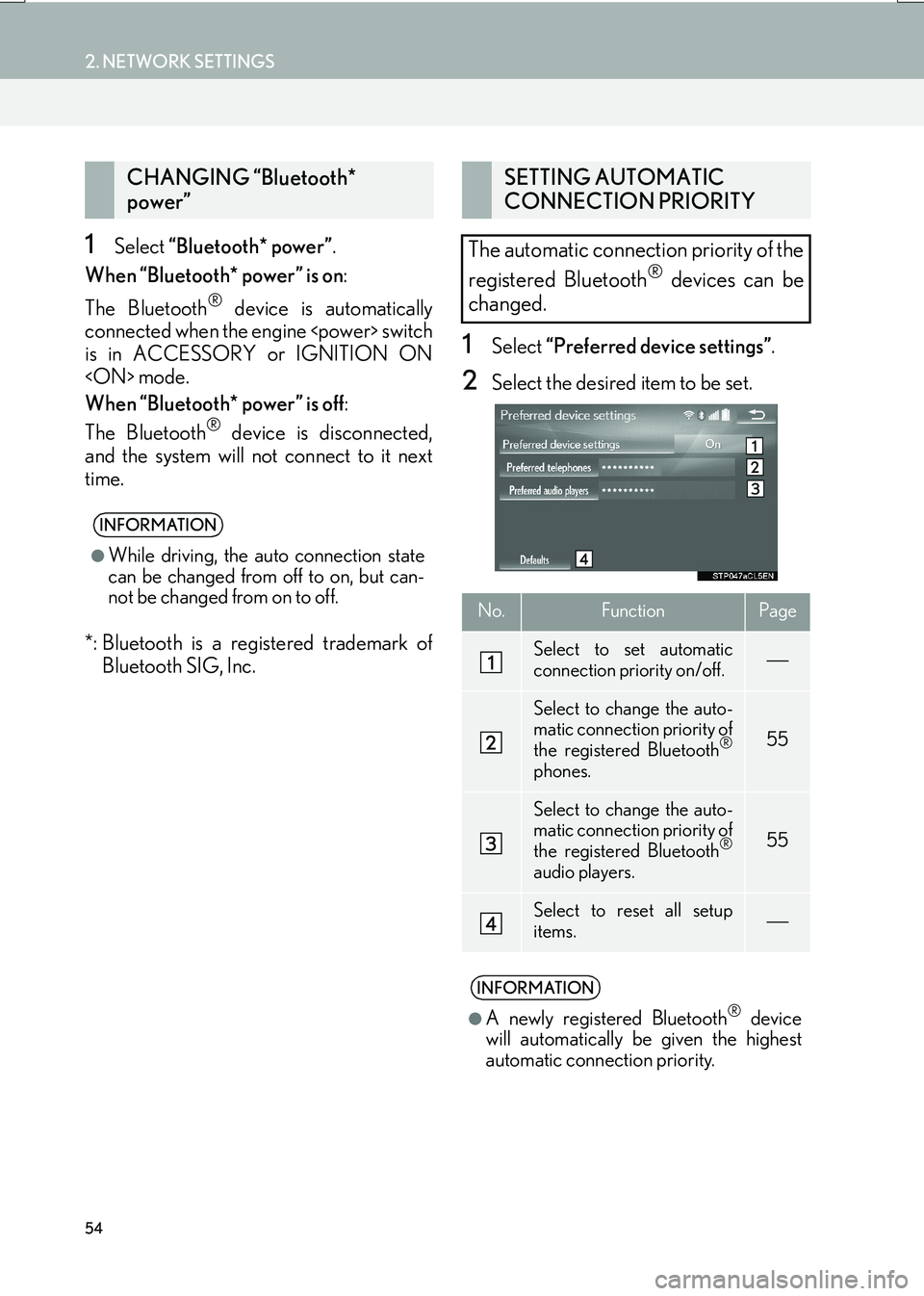
1Select “Preferred device settings” .
2Select the desired item to be set.
CHANGING “Bluetooth*
power”
INFORMATION
●
While driving, the auto connection state
can be changed from off to on, but can-
not be changed from on to off.
SETTING AUTOMATIC
CONNECTION PRIORITY
The automatic connection priority of the
registered Bluetooth
® devices can be
changed.
No.FunctionPage
Select to set automatic
connection priority on/off.
Select to change the auto-
matic connection priority of
the registered Bluetooth
®
phones.
55
Select to change the auto-
matic connection priority of
the registered Bluetooth
®
audio players.
55
Select to reset all setup
items.
INFORMATION
●
A newly registered Bluetooth® device
will automatically be given the highest
automatic connection priority.
Page 66 of 342
66
3. OTHER SETTINGS
IS_NAVI_EE
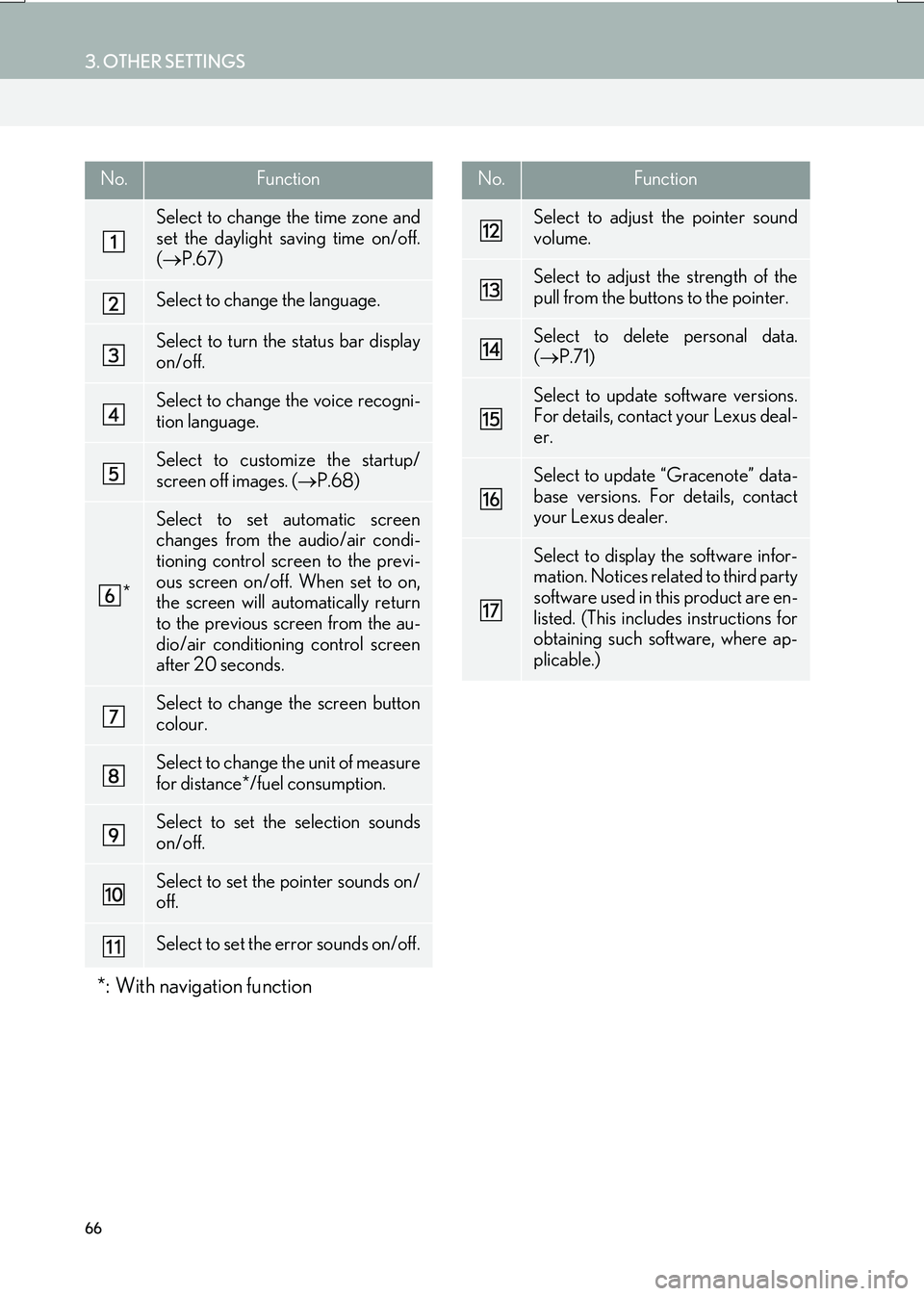
No.Function
Select to change the time zone and
set the daylight saving time on/off.
(→ P.67)
Select to change the language.
Select to turn the status bar display
on/off.
Select to change the voice recogni-
tion language.
Select to customize the startup/
screen off images. ( →P.68)
*
Select to set automatic screen
changes from the audio/air condi-
tioning control screen to the previ-
ous screen on/off. When set to on,
the screen will automatically return
to the previous screen from the au-
dio/air conditioning control screen
after 20 seconds.
Select to change the screen button
colour.
Select to change the unit of measure
for distance*/fuel consumption.
Select to set the selection sounds
on/off.
Select to set the pointer sounds on/
off.
Select to set the error sounds on/off.
*: With navigation function
Select to adjust the pointer sound
volume.
Select to adjust the strength of the
pull from the buttons to the pointer.
Select to delete personal data.
(→ P.71)
Select to update software versions.
For details, contact your Lexus deal-
er.
Select to update “Gracenote” data-
base versions. For details, contact
your Lexus dealer.
Select to display the software infor-
mation. Notices related to third party
software used in this product are en-
listed. (This includes instructions for
obtaining such software, where ap-
plicable.)
No.Function
Page 67 of 342

67
3. OTHER SETTINGS
IS_NAVI_EE
BASIC FUNCTION
2
1Display the “General settings” screen.
(→ P.65)
2Select “System time” .
3Select the items to be set.
■SETTING THE TIME ZONE
1Select “Time zone” .
2Select the desired time zone.
�zIf “Other ” is selected, the zone can be
adjusted manually. Select “+” or “-” to
adjust the time zone.
SYSTEM TIME SETTINGS
Used for changing time zones and the
on/off settings of daylight saving time.
No.Function
Select to change the time zone.
( → P.67)
Select to set daylight saving time on/
off.
Page 74 of 342

74
3. OTHER SETTINGS
IS_NAVI_EE
1Display the “Vehicle settings” screen.
(→ P.73)
2Select “Maintenance” .
3Select the desired item.
MAINTENANCE*
When the system is turned on, the
“Information” screen displays when it is
time to replace a part or certain compo-
nents. (→P.30)
No.FunctionPage
Select to set the condition
of parts or components.75
Select to add new informa-
tion items separately from
provided ones.
When set to on, the indica-
tor will illuminate. The sys-
tem is set to give
maintenance information
with the “Information”
screen.
30
Select to cancel all condi-
tions which have been en-
tered.
Select to reset the items
which have expired condi-
tions.
Select to register/edit deal-
er information.75
INFORMATION
●
When the vehicle needs to be serviced,
the screen button colour will change to
orange.
*: With navigation function
Page 81 of 342
81
1. BASIC OPERATION
IS_NAVI_EE
NAVIGATION SYSTEM
3
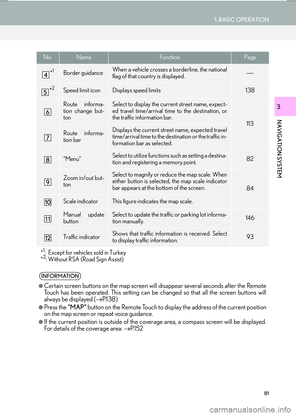
*1Border guidanceWhen a vehicle crosses a borderline, the national
flag of that country is displayed.
*2Speed limit iconDisplays speed limits138
Route informa-
tion change but-
tonSelect to display the current street name, expect-
ed travel time/arrival time to the destination, or
the traffic information bar.
113
Route informa-
tion barDisplays the current street name, expected travel
time/arrival time to the destination or the traffic in-
formation bar as selected.
“Menu”Select to utilize functions such as setting a destina-
tion and registering a memory point.82
Zoom in/out but-
tonSelect to magnify or reduce the map scale. When
either button is selected, the map scale indicator
bar appears at the bottom of the screen.
84
Scale indicatorThis figure indicates the map scale.
Manual update
buttonSelect to update the traffic or parking lot informa-
tion manually. 146
Traffic indicatorShows that traffic information is received. Select
to display traffic information.93
*
1: Except for vehicles sold in Turkey
*2: Without RSA (Road Sign Assist)
INFORMATION
●
Certain screen buttons on the map screen w ill disappear several seconds after the Remote
Touch has been operated. This setting can be changed so that all the screen buttons will
always be displayed.( →P.1 3 8 )
●Press the “MAP” button on the Remote Touch to display the address of the current position
on the map screen or repeat voice guidance.
●If the current position is outside of the cove rage area, a compass screen will be displayed.
For details of the coverage area: →P.1 5 2
No.NameFunctionPage
Page 95 of 342
95
1. BASIC OPERATION
IS_NAVI_EE
NAVIGATION SYSTEM
3
: The icons show traffic incident, road
repair, traffic obstacles, etc. Select to dis-
play the traffic information.
: The colour of the arrow changes
depending on the traffic information re-
ceived.
• Red: Closed road, accident, etc.
• Orange: Traffic congestion.
• Green: Normal traffic flow. (Note that roads that are not covered by traffic infor-
mation are also shown in green.)
: The indicator is displayed when
traffic information has been received.
1Display the “Traffic” screen. ( →P.93)
2Select “Traffic prediction” .
3Scroll the map to the point that it is de-
sired to view traffic prediction informa-
tion for.
�zThe time of the traffic prediction informa-
tion can be viewed in 15-minute steps.
“+” : Moves the time forward 15 minutes.
“-” : Moves the time back 15 minutes.
“Info” : Select to display detailed informa-
tion.INFORMATION
●
Traffic incident icon on the map is dis-
played when the map scale is 200 yd.
(200 m) or less.
DISPLAYING TRAFFIC
PREDICTION MAP
Traffic prediction information relevant
to the area around the current position
or the cursor position can be viewed.