Page 62 of 403
60
3. OTHER SETTINGS
GX460_Navi_OM60N98U_(U)16.05.30 14:27
■SETTING THE STARTUP AND
SCREEN OFF IMAGES
1Select “Set Images” .
2Select the desired image.
3Select the desired items to be set.
INFORMATION
●
When saving image files to a USB mem-
ory to be transferred to the navigation
system, save the images in a folder
named “Image” (I-m-a-g-e, case sensi-
tive). If a different folder name is used, the
navigation system will not recognize the
image files.
●The compatible file extensions are JPG
and JPEG.
●An image’s file name, including file exten-
sion, can be up to 32 characters.
●Image files of 5 MB or less can be trans-
ferred.
●Up to 10 images can be transferred to the
navigation system.
No.Function
Select to set an image as the startup
image.
Select to set an image as the screen
off image.
Select to set an image as both the
startup and screen off image.
GX_Navi_OM60N98U_(U).book Page 60 Monday, May 30, 2016 2:28 PM
Page 67 of 403
65
3. OTHER SETTINGS
GX460_Navi_OM60N98U_(U)16.05.30 14:27
2
BASIC FUNCTION
1Display the “Vehicle Settings” screen.
(→ P.64)
2Select “Maintenance” .
3Select the desired item.
MAINTENANCE
When the navigation system is turned
on, the “Maintenance Reminder” screen
displays when it is time to replace a part
or certain components. ( →P.28)
No.Function
Select to set the condition of parts or
components.
Select to add new information items
separately from provided ones.
Select to cancel all conditions which
have been entered.
Select to reset the item which has ex-
pired a condition.
Select to call the registered dealer.
Select to register/edit dealer infor-
mation. ( →P.67)
When set to on, the indicator will illu-
minate. The system is set to give
maintenance information with the
“Maintenance Reminder” screen.
(→ P.28)
INFORMATION
●
When the vehicle needs to be serviced,
the screen button color will change to
orange.
GX_Navi_OM60N98U_(U).book Page 65 Monday, May 30, 2016 2:28 PM
Page 71 of 403

3
69
1
2
3
4
5
6
7
8
GX460_Navi_OM60N98U_(U)16.05.30 14:27
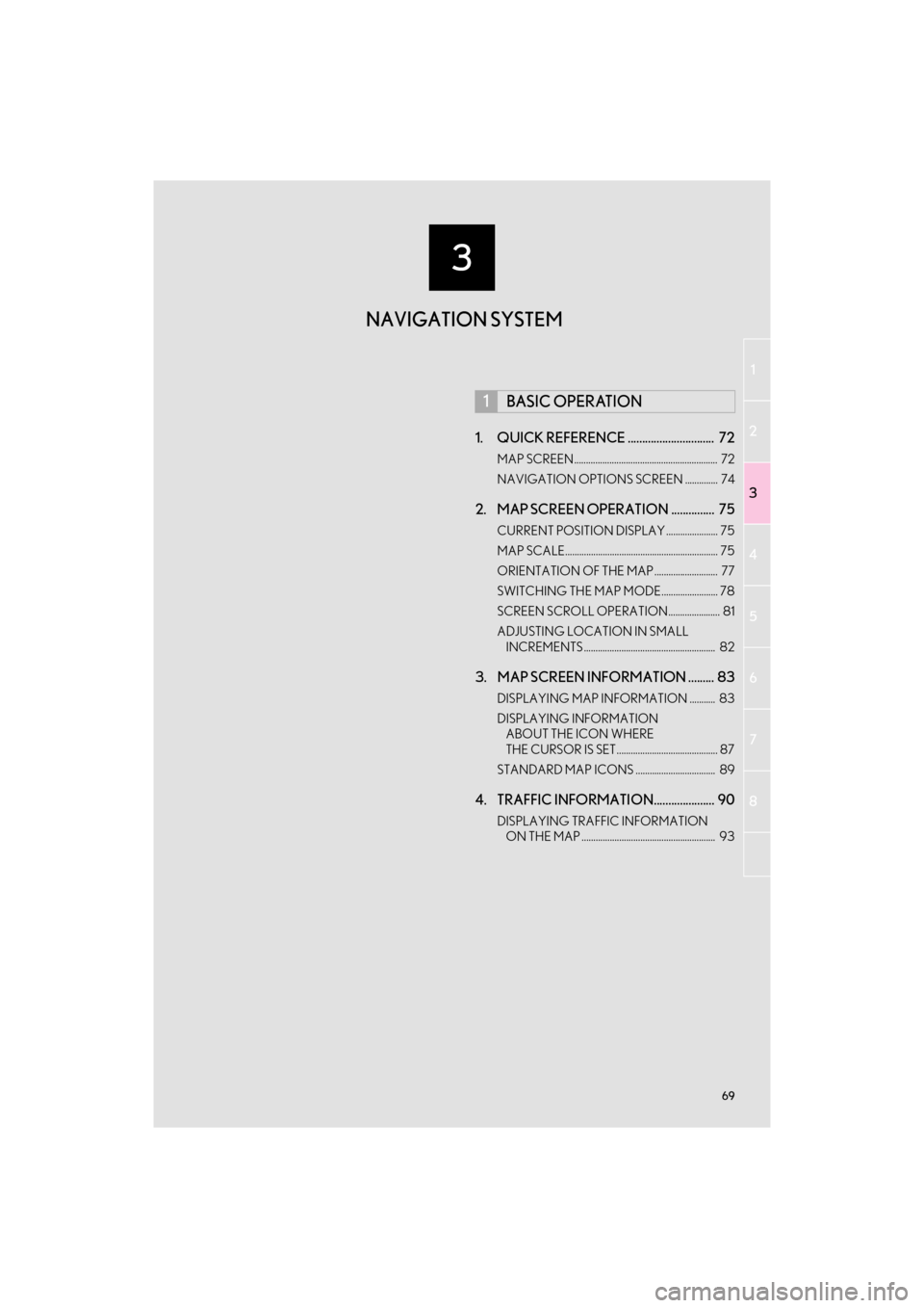
1. QUICK REFERENCE .............................. 72
MAP SCREEN ............................................................. 72
NAVIGATION OPTIONS SCREEN .............. 74
2. MAP SCREEN OPERATION ............... 75
CURRENT POSITION DISPLAY ...................... 75
MAP SCALE................................................................. 75
ORIENTATION OF THE MAP ........................... 77
SWITCHING THE MAP MODE........................ 78
SCREEN SCROLL OPERATION...................... 81
ADJUSTING LOCATION IN SMALL INCREMENTS ........................................................ 82
3. MAP SCREEN INFORMATION ......... 83
DISPLAYING MAP INFORMATION ........... 83
DISPLAYING INFORMATION ABOUT THE ICON WHERE
THE CURSOR IS SET........................................... 87
STANDARD MAP ICONS .................................. 89
4. TRAFFIC INFORMATION..................... 90
DISPLAYING TRAFFIC INFORMATION ON THE MAP ......................................................... 93
1BASIC OPERATION
NAVIGATION SYSTEM
GX_Navi_OM60N98U_(U).book Page 69 Monday, May 30, 2016 2:28 PM
Page 73 of 403

71
1
2
3
4
5
6
7
8
GX460_Navi_OM60N98U_(U)16.05.30 14:27
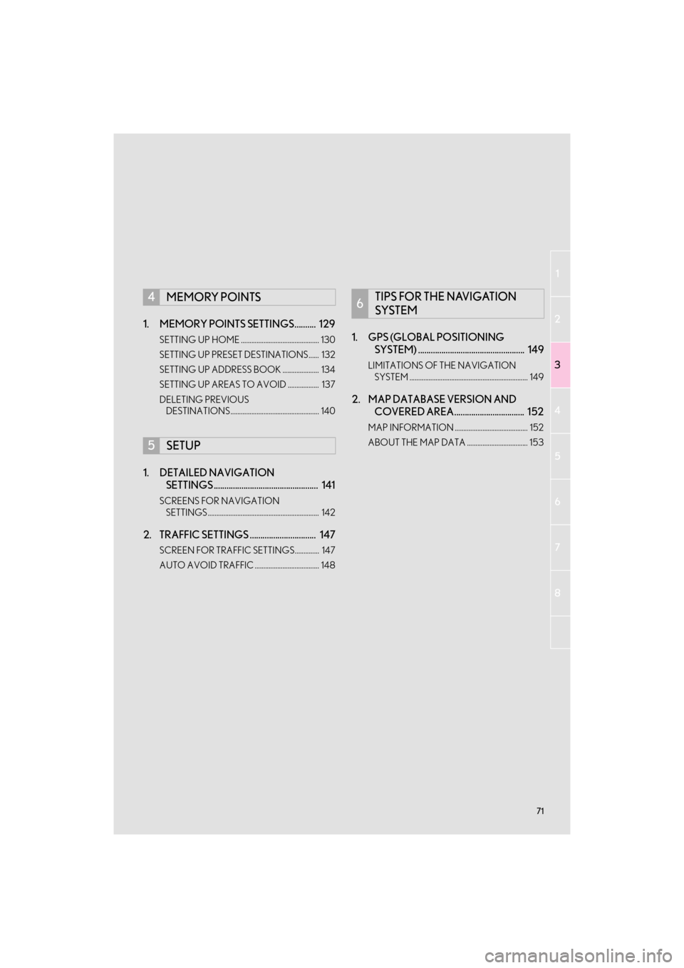
1. MEMORY POINTS SETTINGS.......... 129
SETTING UP HOME ............................................. 130
SETTING UP PRESET DESTINATIONS...... 132
SETTING UP ADDRESS BOOK ..................... 134
SETTING UP AREAS TO AVOID .................. 137
DELETING PREVIOUS DESTINATIONS................................................... 140
1. DETAILED NAVIGATION SETTINGS ................................................. 141
SCREENS FOR NAVIGATION
SETTINGS ................................................................ 142
2. TRAFFIC SETTINGS ............................... 147
SCREEN FOR TRAFFIC SETTINGS.............. 147
AUTO AVOID TRAFFIC ..................................... 148
1. GPS (GLOBAL POSITIONING SYSTEM) .................................................. 149
LIMITATIONS OF THE NAVIGATION
SYSTEM .................................................................... 149
2. MAP DATABASE VERSION AND COVERED AREA................................. 152
MAP INFORMATION .......................................... 152
ABOUT THE MAP DATA ................................... 153
4MEMORY POINTS
5SETUP
6TIPS FOR THE NAVIGATION
SYSTEM
GX_Navi_OM60N98U_(U).book Page 71 Monday, May 30, 2016 2:28 PM
Page 74 of 403
72
GX460_Navi_OM60N98U_(U)16.05.30 14:27
1. BASIC OPERATION
1. QUICK REFERENCE
MAP SCREEN
To display this screen, press the “NAV” button.
No.NameFunctionPag e
2D north up, 2D
heading up or 3D
heading up sym-
bolIndicates whether the map orientation is set to
north-up or heading-up. The letter(s) beside this
symbol indicate the vehi cle’s heading direction
(e.g. N for north). In 3D map, only a heading-up
view is available.
77
Options buttonSelect to display the “Navigation Options” screen.74
“GPS” mark
(Global Position-
ing System)Shows that the vehicle is receiving signals from
the GPS.149
GX_Navi_OM60N98U_(U).book Page 72 Monday, May 30, 2016 2:28 PM
Page 75 of 403

73
1. BASIC OPERATION
3
NAVIGATION SYSTEM
GX460_Navi_OM60N98U_(U)16.05.30 14:27
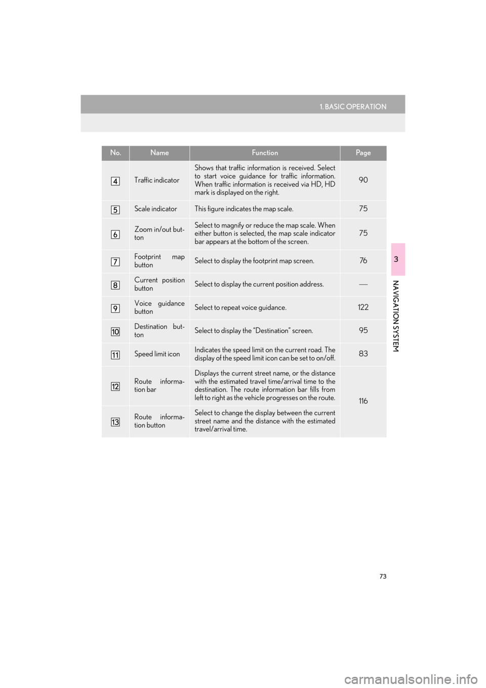
Traffic indicator
Shows that traffic information is received. Select
to start voice guidance for traffic information.
When traffic information is received via HD, HD
mark is displayed on the right.
90
Scale indicatorThis figure indicates the map scale.75
Zoom in/out but-
tonSelect to magnify or reduce the map scale. When
either button is selected, the map scale indicator
bar appears at the bottom of the screen.75
Footprint map
buttonSelect to display the footprint map screen.76
Current position
buttonSelect to display the current position address.
Voice guidance
buttonSelect to repeat voice guidance.122
Destination but-
tonSelect to display the “Destination” screen. 95
Speed limit iconIndicates the speed limit on the current road. The
display of the speed limit icon can be set to on/off.83
Route informa-
tion bar
Displays the current street name, or the distance
with the estimated travel time/arrival time to the
destination. The route information bar fills from
left to right as the vehicle progresses on the route.
116
Route informa-
tion buttonSelect to change the display between the current
street name and the distance with the estimated
travel/arrival time.
No.NameFunctionPa g e
GX_Navi_OM60N98U_(U).book Page 73 Monday, May 30, 2016 2:28 PM
Page 77 of 403

75
1. BASIC OPERATION
GX460_Navi_OM60N98U_(U)16.05.30 14:27
3
NAVIGATION SYSTEM
2. MAP SCREEN OPERATION
1Press the “NAV” button.
2Check that the current position map is
displayed.
1Select or to change the
scale of the map screen.
�zThe scale indicator bar appears at the bot-
tom of the screen.
�z Select and hold or to continue
changing the scale of the map screen.
�z The scale of the map screen can also be
changed by selecting the scale bar directly.
This function is not available while driving.
CURRENT POSITION DISPLAY
�zTo correct the current position manually:
→P.1 4 5
INFORMATION
●
While driving, the current position mark
is fixed on the screen and the map moves.
●The current position is automatically set
as the vehicle receives signals from the
GPS (Global Positioning System). If the
current position is not correct, it is auto-
matically corrected after the vehicle
receives signals from the GPS.
●After the battery disconnection, or on a
new vehicle, the current position may not
be correct. As soon as the system
receives signals from the GPS, the cor-
rect current position is displayed.
MAP SCALE
INFORMATION
●
The map scale is displayed above the
zoom in button at the bottom left of the
screen.
●In areas where the footprint map is avail-
able the map scale changes from
to when at the minimum range.
GX_Navi_OM60N98U_(U).book Page 75 Monday, May 30, 2016 2:28 PM
Page 79 of 403
77
1. BASIC OPERATION
3
NAVIGATION SYSTEM
GX460_Navi_OM60N98U_(U)16.05.30 14:27
1Select an arrow to rotate.
1Select , or .
�X North-up screen
�X Heading-up screen
�X 3D screen
ROTATING 3D MAP
3D map and 3D city model map can be
rotated when arrows appear around the
cursor while scrolling.
INFORMATION
●
The viewing angle of the 3D map can be
changed. ( →P.144)
ORIENTATION OF THE MAP
The orientation of the map can be
changed between 2D north-up, 2D
heading-up and 3D heading-up by se-
lecting the orientation symbol displayed
at the top left of the screen.
GX_Navi_OM60N98U_(U).book Page 77 Monday, May 30, 2016 2:28 PM