2016 Citroen DS5 RHD navigation system
[x] Cancel search: navigation systemPage 429 of 512

27 Audio and Telematics
TMC (Traffic Message
Channel)
TMC (Traffic Message Channel) is a
European standard on the broadcasting
of traffic information via the RDS
system on FM radio, transmitting traffic
information in real time.
The TMC information is then displayed
on a GPS Navigation system map and
taken into account straight away during
navigation, so as to avoid accidents,
traffic jams and closed roads.
The display of danger areas depends
on the legislation in force and
subscription to the ser vice.
Page 431 of 512

29 Audio and Telematics
As a safety measure and because it
requires sustained attention by the
driver, using a smartphone when
driving is prohibited.
All operations must be done with the
vehicle stationary
.
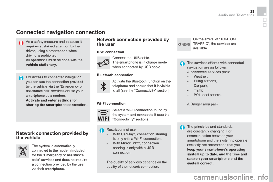
Connected navigation connection
The principles and standards
are constantly changing. For
communication between your
smartphone and the system to operate
correctly, we recommend that you
keep your smar tphone's operating
system up to date, and the time and
date on your smar tphone and the
system correct.
The ser vices offered with connected
navigation are as follows.
A connected ser vices pack:
- Weather,
- Filling stations,
- Car park,
- Tr a f f i c ,
- POI, local search.
A Danger area pack. Activate the Bluetooth function on the
telephone and ensure that it is visible
to all (see the "Connectivity" section). Connect the USB cable.
The smartphone is in charge mode
when connected by USB cable.
The system is automatically
connected to the modem included
for the "Emergency or assistance
calls" ser vices and does not require
a connection provided by the user
via their smartphone.
On the arrival of "TOMTOM
TR AFFIC", the ser vices are
available.
For access to connected navigation,
you can use the connection provided
by the vehicle via the "Emergency or
assistance call" services or use your
smartphone as a modem.
Activate and enter settings for
sharing the smar tphone connection.
Restrictions of use:
- With CarPlay
®
, connection sharing
is only with a Wi-Fi connection.
- With MirrorLink
TM
, connection
sharing is only with a USB
connection.
The quality of ser vices depends on the
quality of the network connection. Select a Wi-Fi connection found by
the system and connect to it (see the
"Connectivity" section).
USB connection
Network connection provided by
the vehicle
Network connection provided by
the user
Bluetooth connection
Wi-Fi connection
Page 433 of 512

7
28
27
26
29
30
31 Audio and Telematics
Level 1
Level 2
Level 3
Comments
Navigation
Select the orientation of the map; north up,
vehicle direction up or perspective.
Navigation
TOMTOM TR AFFIC
On connection of the system to a network,
"TOMTOM TR AFFIC" is displayed instead of
"TMC", for use of all of the options available, in
real time.
Navigation
Weather
Select the options.
The map display the route chosen, depending on
options.
Stations
Car park
Tr a f f i c
Danger area
Map color
Select the display mode for the map.
POI on map
Commercial
Select the POIs available. Geographic
Leisure
Public
Tr a v e l
Confirm Save the options.
View map
Modify city Select or change a city.
Zoom out.
Zoom in.
Page 439 of 512

37 Audio and Telematics
To distribute information on the
declaration of danger zones, you
should check the option: " Allow
declaration of danger areas
".
You can download updates to the
system, danger zones and mapping,
from the brand's website.
The download procedure can be found
in the same place.
Declaration of "Danger
areas"
Press on Navigation
to display the
primary page.
Press on the "Declare a new danger
area" button located in the upper bar
of the touch screen.
Select the option " Ty p e
" to choose
the type de "Danger area".
Select the " Speed
" option and enter
it using the virtual keypad.
Press on " Confirm
" to save and
distribute the information.
Page 444 of 512

1
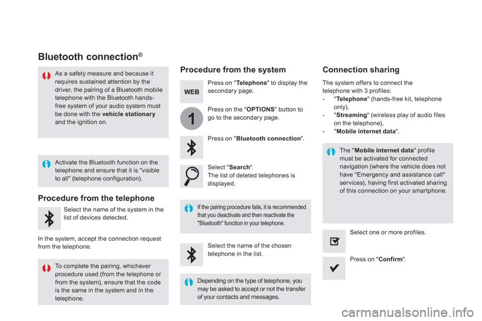
Bluetooth connection ®
Procedure from the system
Connection sharing
Press on " Te l e p h o n e
" to display the
secondary page.
Press on " Bluetooth connection
".
Select " Search
".
The list of deteted telephones is
displayed.
If the pairing procedure fails, it is recommended
that you deactivate and then reactivate the
"Bluetooth" function in your telephone.
The " Mobile internet data
" profile
must be activated for connected
navigation (where the vehicle does not
have "Emergency and assistance call"
ser vices), having first activated sharing
of this connection on your smartphone.
The system offers to connect the
telephone with 3 profiles:
- " Te l e p h o n e
" (hands-free kit, telephone
only),
- " Streaming
" (wireless play of audio files
on the telephone),
- " Mobile internet data
".
Select the name of the chosen
telephone in the list.
Press on " Confirm
".
Select one or more profiles.
Press on the " OPTIONS
" button to
go to the secondary page.
As a safety measure and because it
requires sustained attention by the
driver, the pairing of a Bluetooth mobile
telephone with the Bluetooth hands-
free system of your audio system must
be done with the vehicle stationary
and the ignition on.
Procedure from the telephone
Select the name of the system in the
list of devices detected.
In the system, accept the connection request
from the telephone.
Activate the Bluetooth function on the
telephone and ensure that it is "visible
to all" (telephone configuration).
To complete the pairing, whichever
procedure used (from the telephone or
from the system), ensure that the code
is the same in the system and in the
telephone.
Depending on the type of telephone, you
may be asked to accept or not the transfer
of your contacts and messages.
Page 470 of 512

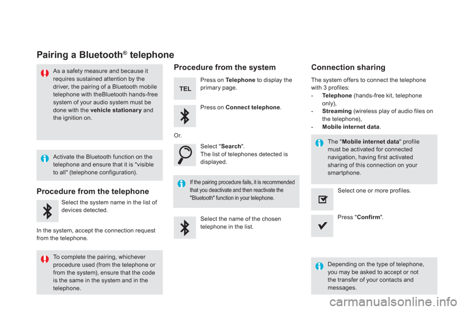
Pairing a Bluetooth ®
telephone
As a safety measure and because it
requires sustained attention by the
driver, the pairing of a Bluetooth mobile
telephone with theBluetooth hands-free
system of your audio system must be
done with the vehicle stationary
and
the ignition on.
Procedure from the telephone
Select the system name in the list of
devices detected.
In the system, accept the connection request
from the telephone.
Procedure from the system
Press on Te l e p h o n e
to display the
primary page.
Press on Connect telephone
.
Select " Search
".
The list of telephones detected is
displayed.
If the pairing procedure fails, it is recommended
that you deactivate and then reactivate the
"Bluetooth" function in your telephone.
The system offers to connect the telephone
with 3 profiles:
- Te l e p h o n e
(hands-free kit, telephone
only),
- Streaming
(wireless play of audio files on
the telephone),
- Mobile internet data
.
Depending on the type of telephone,
you may be asked to accept or not
the transfer of your contacts and
messages.
Select the name of the chosen
telephone in the list.
Press " Confirm
".
Select one or more profiles.
Or.
Activate the Bluetooth function on the
telephone and ensure that it is "visible
to all" (telephone configuration).
To complete the pairing, whichever
procedure used (from the telephone or
from the system), ensure that the code
is the same in the system and in the
telephone.
The " Mobile internet data
" profile
must be activated for connected
navigation, having first activated
sharing of this connection on your
smartphone.
Connection sharing
Page 486 of 512

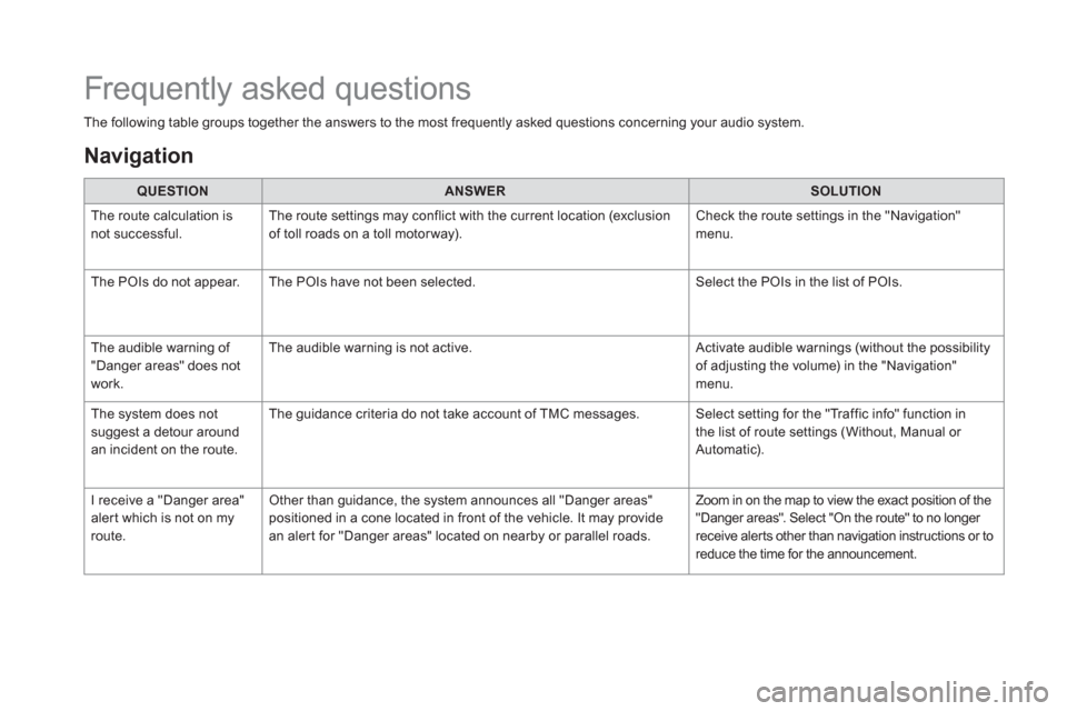
The following table groups together the answers to the most frequently asked questions concerning your audio system.
QUESTION
ANSWER
SOLUTION
The route calculation is
not successful. The route settings may conflict with the current location (exclusion
of toll roads on a toll motor way). Check the route settings in the "Navigation"
menu.
The POIs do not appear. The POIs have not been selected. Select the POIs in the list of POIs.
The audible warning of
"Danger areas" does not
work. The audible warning is not active. Activate audible warnings (without the possibility
of adjusting the volume) in the "Navigation"
menu.
The system does not
suggest a detour around
an incident on the route. The guidance criteria do not take account of TMC messages. Select setting for the "Traffic info" function in
the list of route settings (Without, Manual or
Automatic).
I receive a "Danger area"
alert which is not on my
route. Other than guidance, the system announces all "Danger areas"
positioned in a cone located in front of the vehicle. It may provide
an alert for "Danger areas" located on nearby or parallel roads. Zoom in on the map to view the exact position of the
"Danger areas". Select "On the route" to no longer
receive alerts other than navigation instructions or to
reduce the time for the announcement.
Frequently asked questions
Navigation