Page 80 of 198
79
Calculating the RouteCalculating the Route on the Destination Map
Navigation
Calculating the Route on the Destination Map
Calculate the route from the map of the destination address.Select Calculate the Route.
The system calculat es and displays
the route line on the map screen.
2 Route Line P. 82
1Calculating the Route on the Destination Map
d “Display Destination Map” (when en route)
FIT_KA-31TK6830.book 79 ページ 2011年7月4日 月曜日 午後2時45分
QRG
Index
Home
TOC
Page 81 of 198

80
Navigation
Driving to Your Destination
This section describes how to follow the route guidance to your destination, and
choose the icons displayed on the map screen.
Viewing the Route
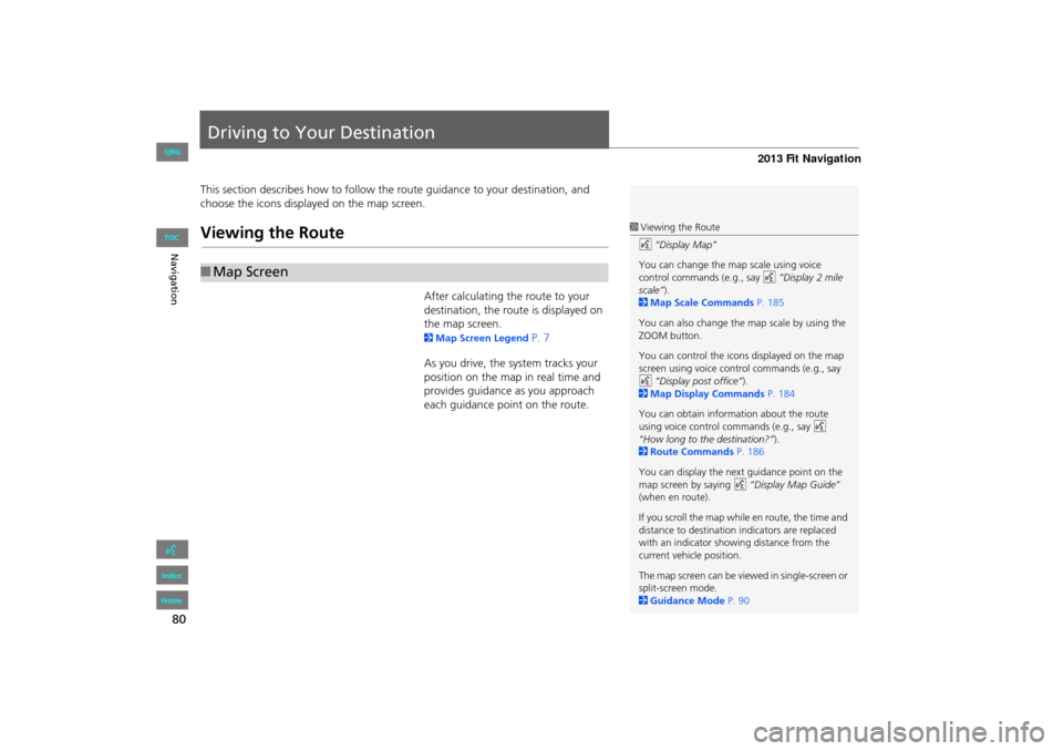
After calculating the route to your
destination, the route is displayed on
the map screen.
2 Map Screen Legend P. 7
As you drive, the system tracks your
position on the map in real time and
provides guidance as you approach
each guidance point on the route.
■ Map Screen
1 Viewing the Route
d “Display Map”
You can change the map scale using voice
control commands (e.g., say d “Display 2 mile
scale” ).
2 Map Scale Commands P. 185
You can also change the map scale by using the
ZOOM button.
You can control the icons displayed on the map
screen using voice control commands (e.g., say
d “Display post office” ).
2 Map Display Commands P. 184
You can obtain information about the route
using voice control commands (e.g., say d
“How long to the destination?” ).
2 Route Commands P. 186
You can display the next guidance point on the
map screen by saying d “Display Map Guide”
(when en route).
If you scroll the map while en route, the time and
distance to destination indicators are replaced
with an indicator showing distance from the
current vehicle position.
The map screen can be viewed in single-screen or
split-screen mode.
2 Guidance Mode P. 90
FIT_KA-31TK6830.book 80 ページ 2011年7月4日 月曜日 午後2時45分
QRG
Index
Home
TOC
Page 84 of 198

83
Driving to Your DestinationViewing the Route
Navigation
If you leave the calculated route, the system automatically recalculates a route to the
desired destination based on your current location and direction.
2Rerouting P. 41
If you leave all mapped (digit ized) roads, the system automa tically starts displaying a
series of dots (breadcrumbs) to track the path you are taking. If needed, you can
follow the dots back to the mapp ed road you originally left.
2Off-road Tracking P. 51
■Deviating From the Planned Route1 Deviating From the Planned Route
If Rerouting is set to Manual and you go off
route, the system wait s for you to manually
initiate recalculation. Select Recalc.
2 Rerouting P. 41
■Driving Off-road
1 Driving Off-road
A message “Not on a digi tized road” may appear
when you drive half a mi le away from a mapped
road.
Breadcrumbs may occasionally be displayed in
urban areas, such as large parking lots in
shopping malls, in new subdivisions where the
roads are not yet in the database, or in areas
where a GPS signal is unavailable, such as in a
parking garage.
Off-road tracking breadcrumbs are limited to
approximately 150 miles. Breadcrumbs at the
beginning of the trail are deleted if you exceed
that distance.
Breadcrumbs are displayed only at 1/20, 1/8, 1/4,
and 1/2 mile map scales.
FIT_KA-31TK6830.book 83 ページ 2011年7月4日 月曜日 午後2時45分
QRG
Index
Home
TOC
Page 91 of 198
90
Map MenuGuidance Menu
Navigation
HMAP MENU (on map) Guidance Menu Guidance Mode
Select the display mode during route guidan ce: single-screen mode (default) or split-
screen mode.
Select an option.
The following options are available:
• Single Screen: Displays the map and guidance screens on separate screens.
■Guidance Mode1 Guidance Mode
The guidance mode can al so be selected from
the System Setup menu.
2 Routing & Guidance P. 40
Map screen
Press the
MAP/GUIDE
buttonGuidance screen
Press the
MAP/GUIDE
button
Press the
MAP/GUIDE
button
Directions list screen
FIT_KA-31TK6830.book 90 ページ 2011年7月4日 月曜日 午後2時45分
QRG
Index
Home
TOC
Page 95 of 198
94
Map MenuMap Legend
Navigation
Map Legend
HMAP MENU (on map) Map Legend
See an overview of the map lines, areas, routes, and navigation icons.
Select an item.
The system displays the map
legend.
1Map Legend
A visual guide helps you see the map legend.
2 Map Screen Legend P. 7
FIT_KA-31TK6830.book 94 ページ 2011年7月4日 月曜日 午後2時45分
QRG
Index
Home
TOC
Page 99 of 198

98
Map MenuMap Legend
Navigation
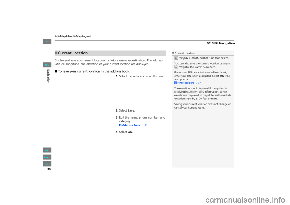
Display and save your current location for future use as a destination. The address,
latitude, longitude, and elevation of your current location are displayed.
■ To save your current loca tion in the address book:
1.Select the vehicle icon on the map.
2. Select Save.
3. Edit the name, phone number, and
category.
2 Address Book P. 31
4. Select OK.
■Current Location1 Current Location
d “Display Current Location” (on map screen)
You can also save the current location by saying
d “Register the Current Location” .
If you have PIN-protec ted your address book,
enter your PIN when prompted. Select OK. PINs
are optional.
2 PIN Numbers P. 37
The elevation is not displayed if the system is
receiving insufficient GPS information. When
elevation is displayed, it may differ with roadside
elevation signs by ±100 feet or more.
Saving your current loca tion does not change or
cancel your current route.
FIT_KA-31TK6830.book 98 ページ 2011年7月4日 月曜日 午後2時45分
QRG
Index
Home
TOC
Page 101 of 198

100
Changing Your RouteCanceling the Route
Navigation
Canceling the Route
HDEST button (when en route) Cancel Route
Cancel the route guidance and remove th e destination and all waypoints from the
destination list. The system th en returns to the map screen.
Taking a Detour
HDEST button (when en route) Detour
Calculate a detour route manu ally. The system attempts to calculate a new route by
avoiding the next 5 miles (while on a freeway ) or 1 mile (while on a surface street).
Avoiding Streets
HDEST button (when en route) Avoid Streets
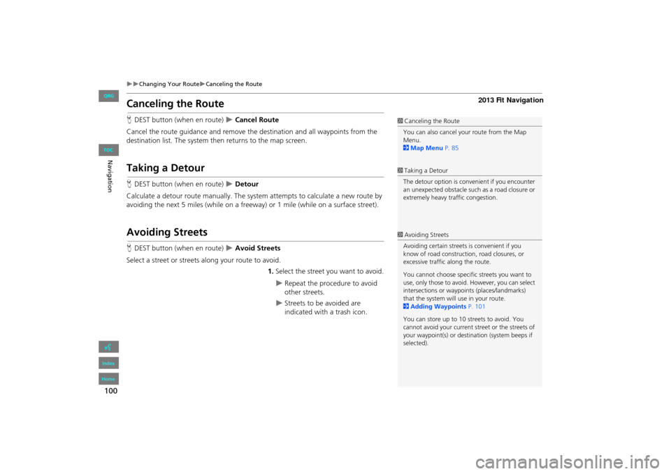
Select a street or streets along your route to avoid.
1.Select the street you want to avoid.
Repeat the procedure to avoid
other streets.
Streets to be avoided are
indicated with a trash icon.
1Canceling the Route
You can also cancel your route from the Map
Menu.
2 Map Menu P. 85
1Taking a Detour
The detour option is conv enient if you encounter
an unexpected obstacle such as a road closure or
extremely heavy traffic congestion.
1 Avoiding Streets
Avoiding certain streets is convenient if you
know of road construction, road closures, or
excessive traffic along the route.
You cannot choose specific streets you want to
use, only those to avoid. However, you can select
intersections or waypoi nts (places/landmarks)
that the system will use in your route.
2 Adding Waypoints P. 101
You can store up to 10 streets to avoid. You
cannot avoid your current st reet or the streets of
your waypoint(s) or dest ination (system beeps if
selected).
FIT_KA-31TK6830.book 100 ページ 2011年7月4日 月曜日 午後2時45分
QRG
Index
Home
TOC
Page 102 of 198
101
Changing Your RouteAdding Waypoints
Navigation
2.Select OK.
The system calculates a new
route.
Adding Waypoints
Add up to four waypoints (pit stops) along the route to your destination.
Waypoints are displayed on the map
screen as small, numbered red flags.
The route follows the waypoints in
the order they are listed in the
destination list.
1 Adding Waypoints
Waypoints allow you to stop for gas or food, for
example, and then continue on to your
destination.
Press the MAP/GUIDE button to return to the
map screen without adding a waypoint at any
time.
The search corridor used for adding waypoints
can be adjusted.
2 Edit Waypoint Search Area P. 46
You can delete waypoints or edit the order of
waypoints in the destination list.
2 Editing My Destination P. 105
FIT_KA-31TK6830.book 101 ページ 2011年7月4日 月曜日 午後2時45分
QRG
Index
Home
TOC