Page 262 of 368
260
04 NAVIGATION
Level 1
Level 2
Level 3
Page 263 of 368
261
Level 1
Level 2
Level 3
Comments
Guidance Indicates that a turn should be made to the left or right at the next
junction and the distance to this junction.
Press on it to to display a navigation zoom to the left of the map.
Navigation sub-menu Confi rm Route
Press on it to modify the current navigation criteria. Change Route
Search Nearby
Set Location
Stop Guidance
Voice Guide ADJ
TMC (Traffi c Message
Channel) Press on it to display traffi c information such as traffi c jams,
roadworks, etc.
Type of display and map
orientation "View"
"2D/3D" Indicates North.
Press on it to select the type of screen display and the map orientation
(2D with vehicle direction, 2D with North at the top, auto 2D according
to scale or 3D perspective).
Map scale Indicates the scale of the map displayed.
Press on it to zoom in or out
Information on
the destination /
intermediate destination Indicates the distance and time to the destination or the intermediate
destination.
Page 264 of 368
262
04 NAVIGATION
Level 1
Level 2
Level 3
Page 266 of 368
264
04 NAVIGATION
Level 1
Level 2
Level 3
Page 268 of 368
266
04 NAVIGATION
Level 1
Level 2
Level 3
Page 270 of 368
268
04 NAVIGATION
Level 1
Level 2
Level 3
Page 271 of 368
269
Level 1
Level 2
Level 3
Comments
Route Options Route Priority
Adjust the roads used conditions.
Minimize Motorways
Minimize Toll Roads
Navi Voice/Others Beep Sound Volume
Set the voice used for navigation instructions and adjust the volume.
Guidance Voice Volume
Speed Compensated Volume
Personal Address Book
Save, modify or delete an entry in the address book. Go Home
Special Location
My Categories
Start Demo Play the video to check the prepared route.
Page 272 of 368

270
04
The satellite navigation system guides the driver to the destination
set in accordance with a chosen route.
Initially, it searches for the destination required by the user, then
it calculates the route and fi nally it provides the visual and vocal
guidance instructions.
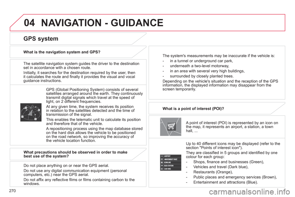
A point of interest (POI) is represented by an icon on
the map, it represents an airport, a station, a town
hall, ...
What is a point of interest (POI)?
Up to 40 different icons may be displayed (refer to the
section "Points of interest icon").
They are classifi ed in 5 groups and identifi ed by one
colour for each group:
- Shops, fi nance and businesses (Green),
- Vehicles and travel (Dark blue),
- Restaurants (Orange),
- Public places and emergency services (Brown),
- Entertainment and attractions (Blue).
GPS (Global Positioning System) consists of several
satellites arranged around the earth. They continuously
transmit digital signals which travel at the speed of
light, on 2 different frequencies.
At any given time, the system receives its position
in relation to the satellites detected and the time of
transmission of the signal.
This enables the telematic unit to calculate its position
and therefore that of the vehicle.
A repositioning process using the map database stored
on the hard disk allows the vehicle to be positioned
on the road network, so improving the accuracy of
the vehicle location function.
GPS system
What is the navigation system and GPS?
The system's measurements may be inaccurate if the vehicle is:
- in a tunnel or underground car park,
- underneath a two-level motorway,
- in an area with several very high buildings,
- surrounded by closely planted trees.
Depending on the vehicle's situation and the reception of the GPS
information, the displayed information may disappear from the
screen temporarily.
What precautions should be observed in order to make
best use of the system?
Do not place anything on or near the GPS aerial.
Do not use any digital communication equipment (personal
computers, etc.) near the GPS aerial.
Do not affi x any refl ective fi lms or fi lms containing carbon to the
windows.
NAVIGATION - GUIDANCE